Hiking Trail 9a

![]()
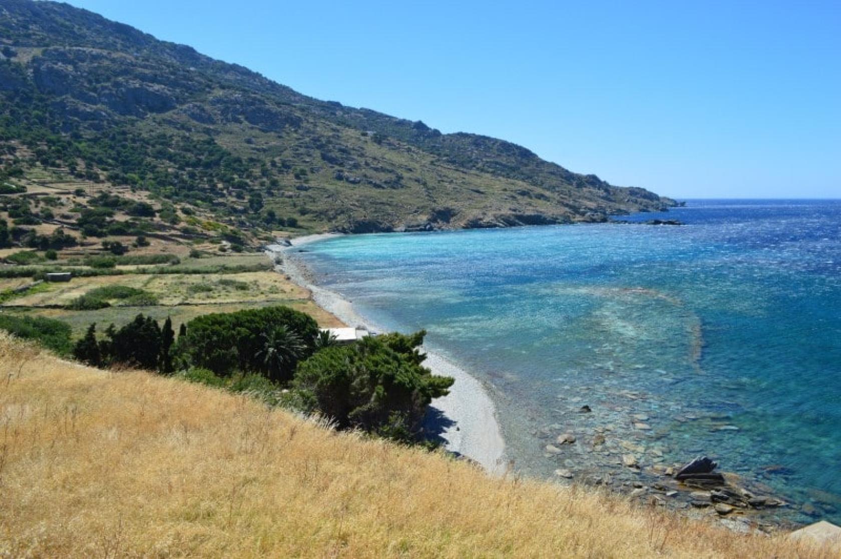
Archaeological Site of Paleopolis (Circular)
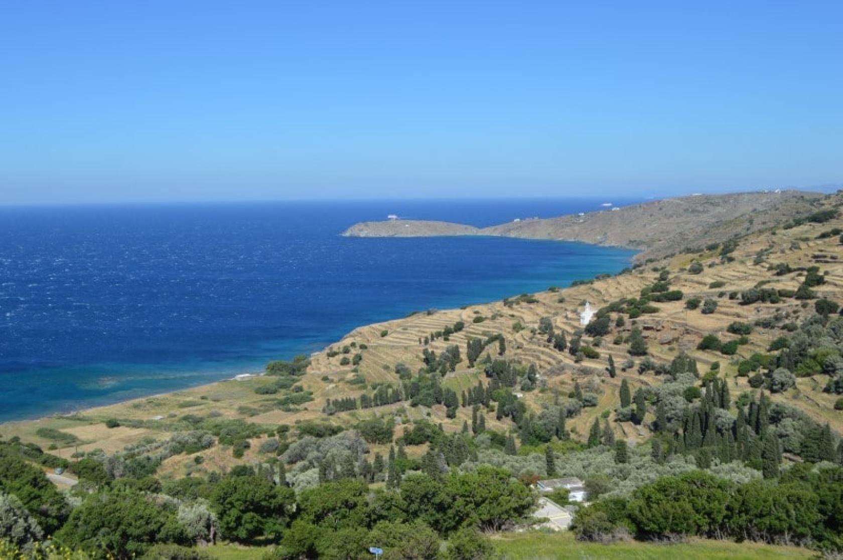
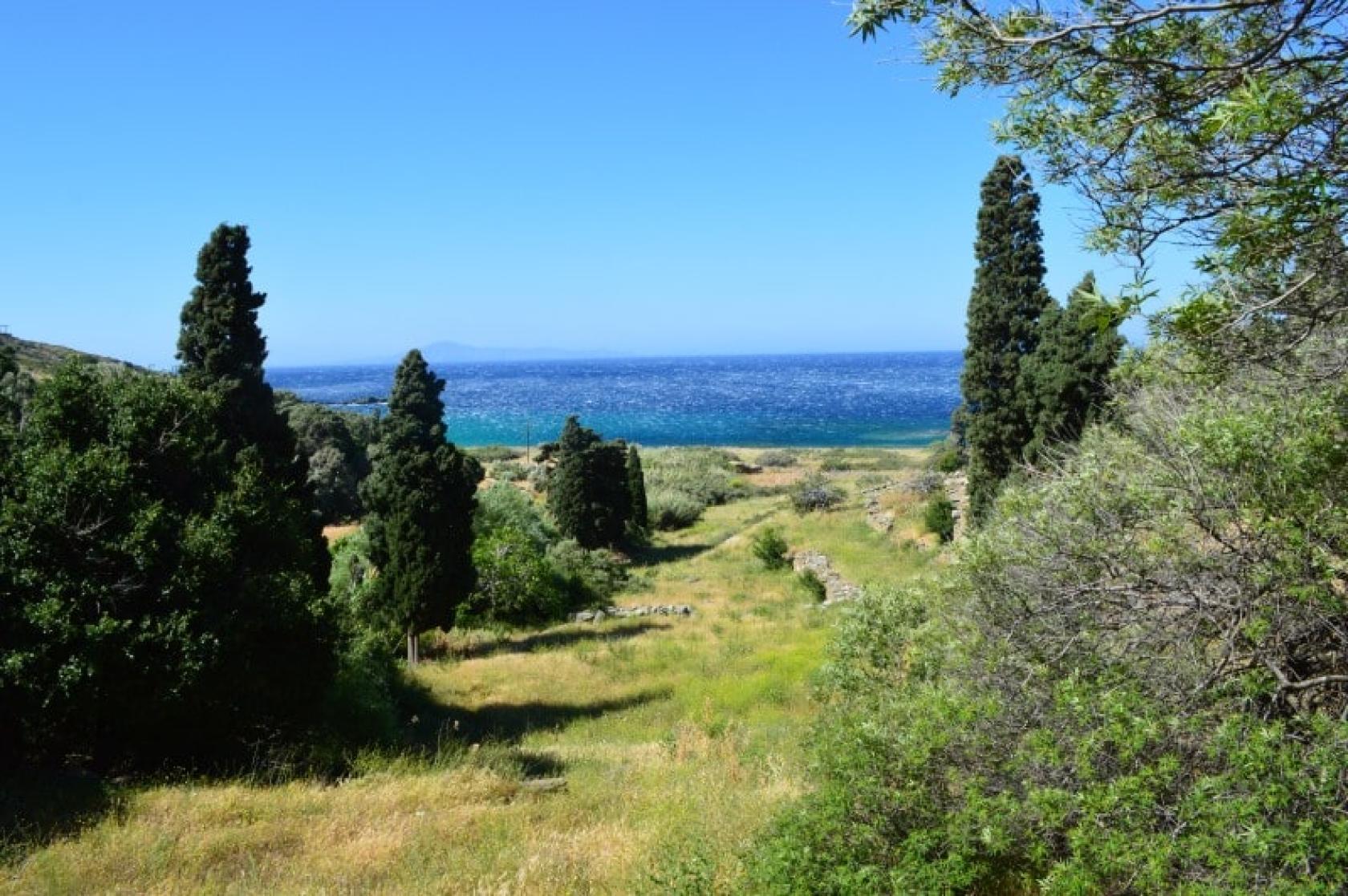
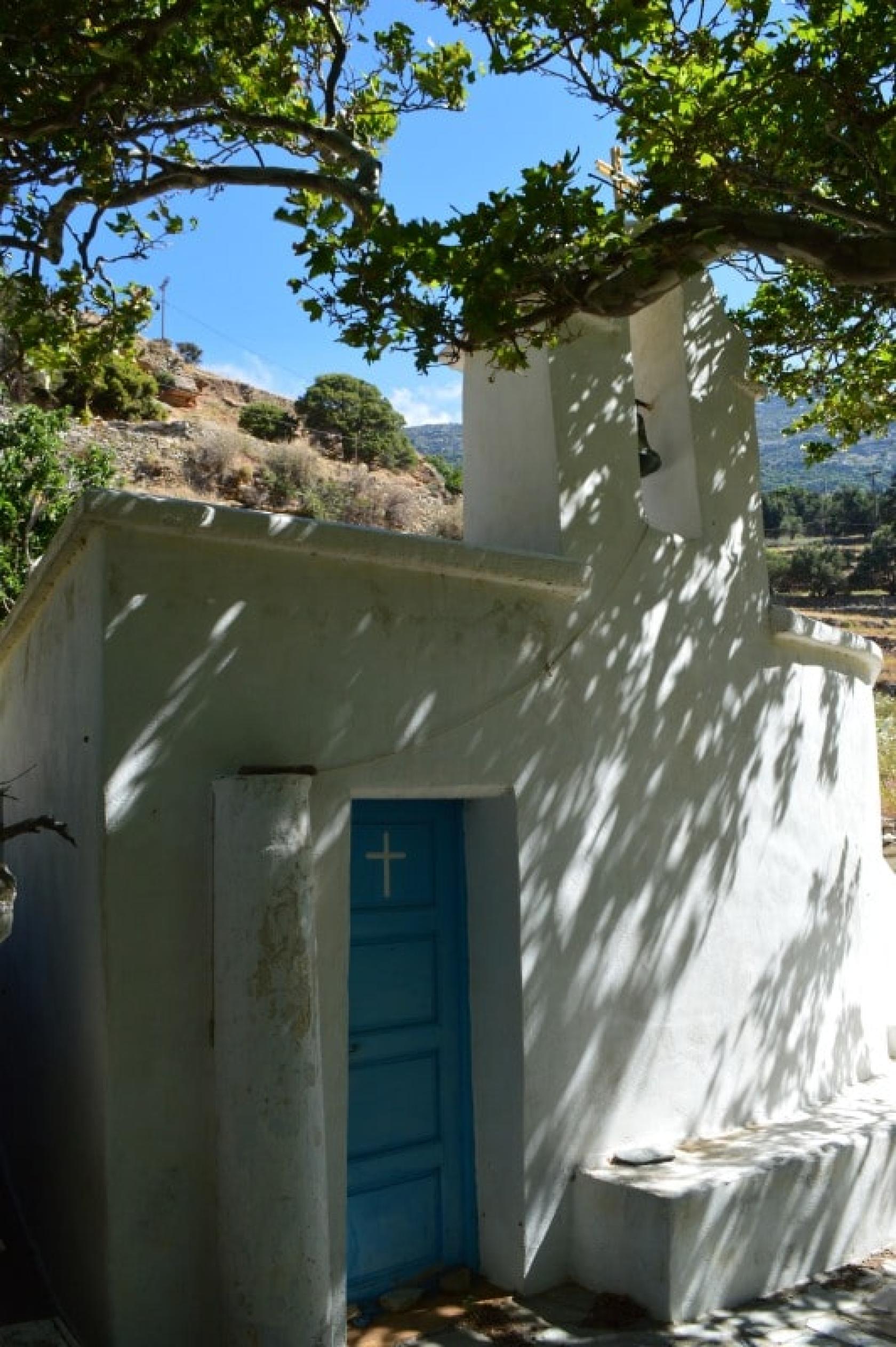
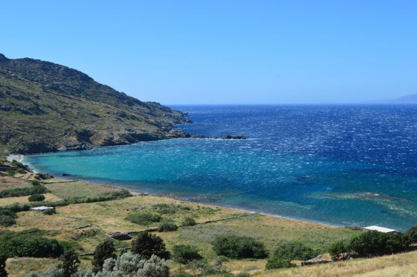
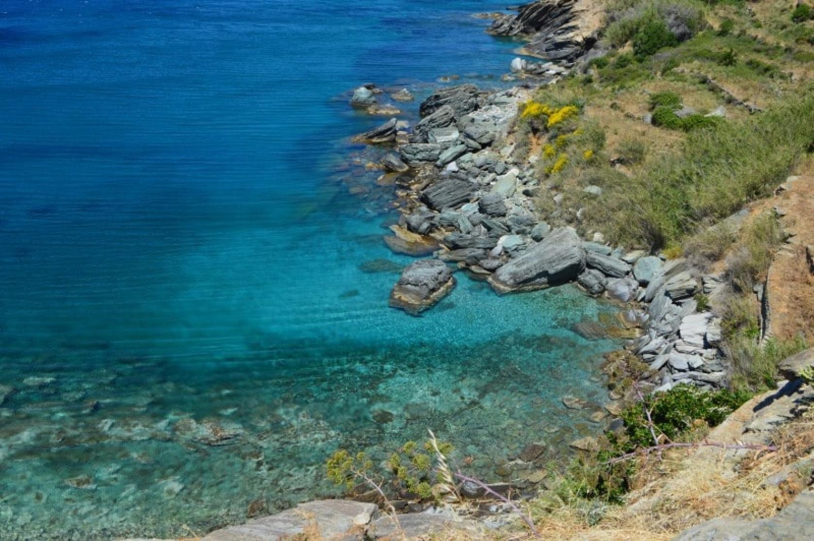
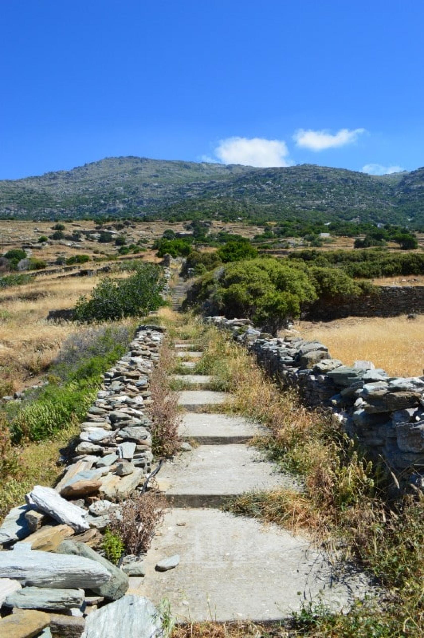
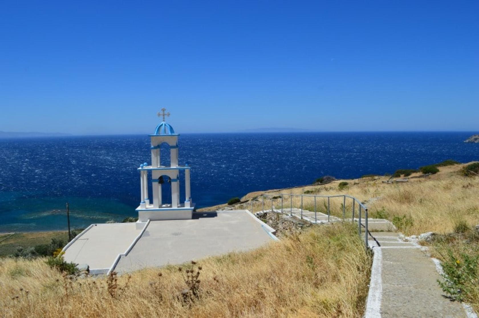
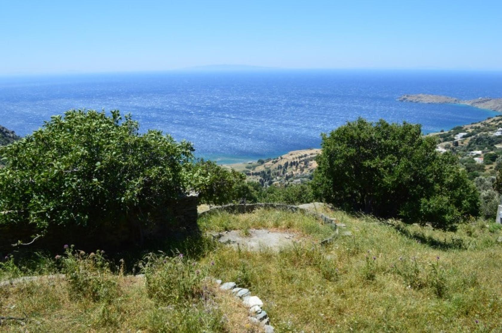
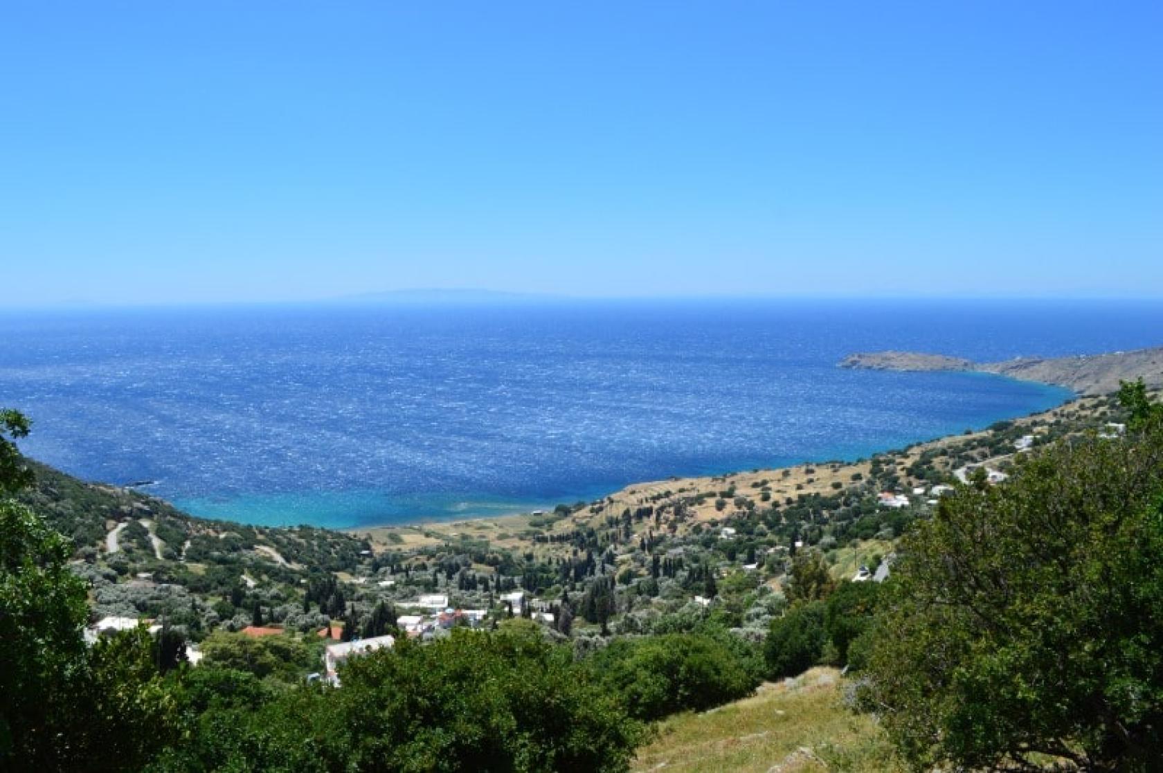
The Hiking trail 9a is a beautiful circular route ideal to explore the important archaeological site of Palaiopolis, capital of Andros for over 1000 years. The interesting archaeological remains, the many wooded parts of the route, the magnificent views towards the coast and the impressive mountain range of Petalon, the pristine beach of Palaiopolis with its submerged ancient port are just some of the many attractions.
Access to Hiking Trail 9a
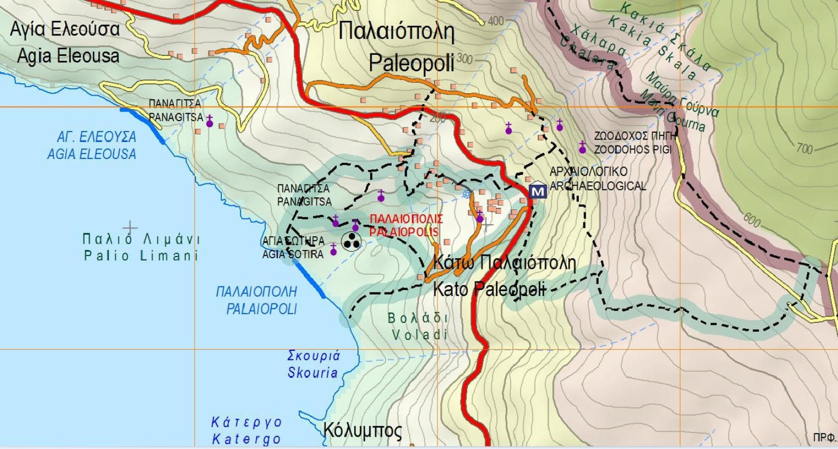
On the road from Gavrio to Paleopolis, opposite the Archaeological Museum of Paleopolis on the vertical road to the beach.
Connection with other routes
Connection with the main route No 9 that connects Ano Aprovato - Ano Palaiopolis - Pitrofo - Strapourgies.
DISTANCE - DURATION
4,5 km / 2 hours & 15 min (Including the connection with route No 9)
MAX ALTIDUDE DIFFERENCE - DIFFICULTY LEVEL
190 m
Moderate (Difficult in a few parts from Ano Palaiopolis to the Museum)
ASCENT - DESCENT
Descent: 190 m
STARTING - ENDING
Starting point: START point on the map
Ending point: END point on the map
TRANSPORT
Transfer to the starting point: By Car or by Taxi
DRINKABLE WATER & FOOD
Water at Palaiopolis
Food at Palaiopolis
ROUTE CONDITION
Open with a lot overgrown vegetation at parts
See the latest cleanups at www.androsroutes.gr

Texts - Photos - Maps: Andros Routes