Hiking Trail 9

![]()
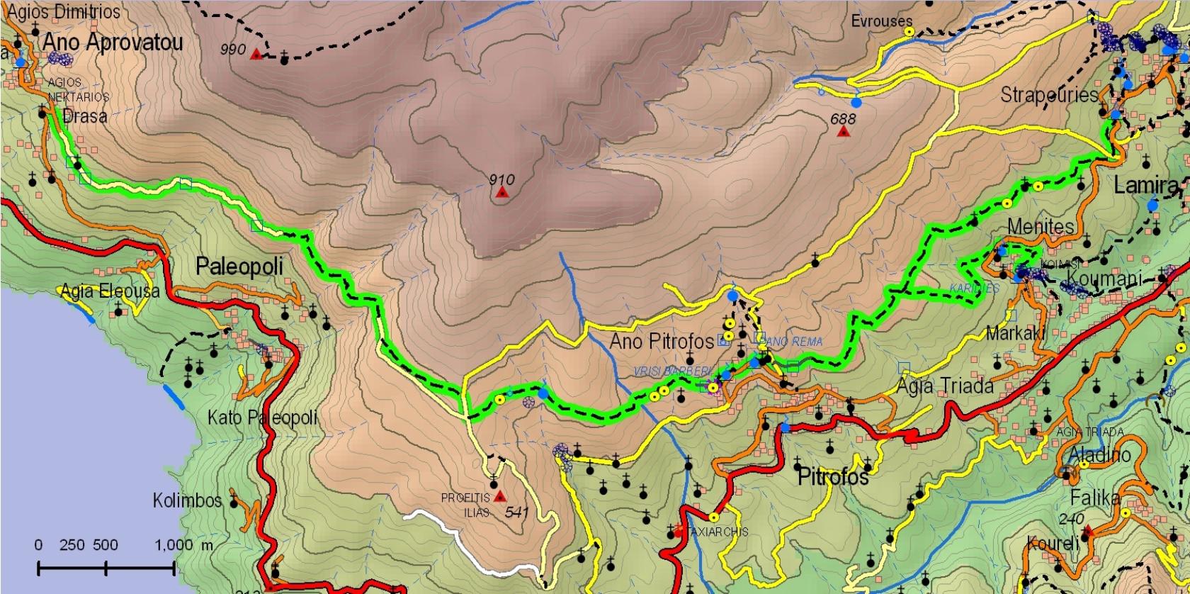
Strapouries - Ano Pitrofos - Palaiopolis - Ano Aprovatou
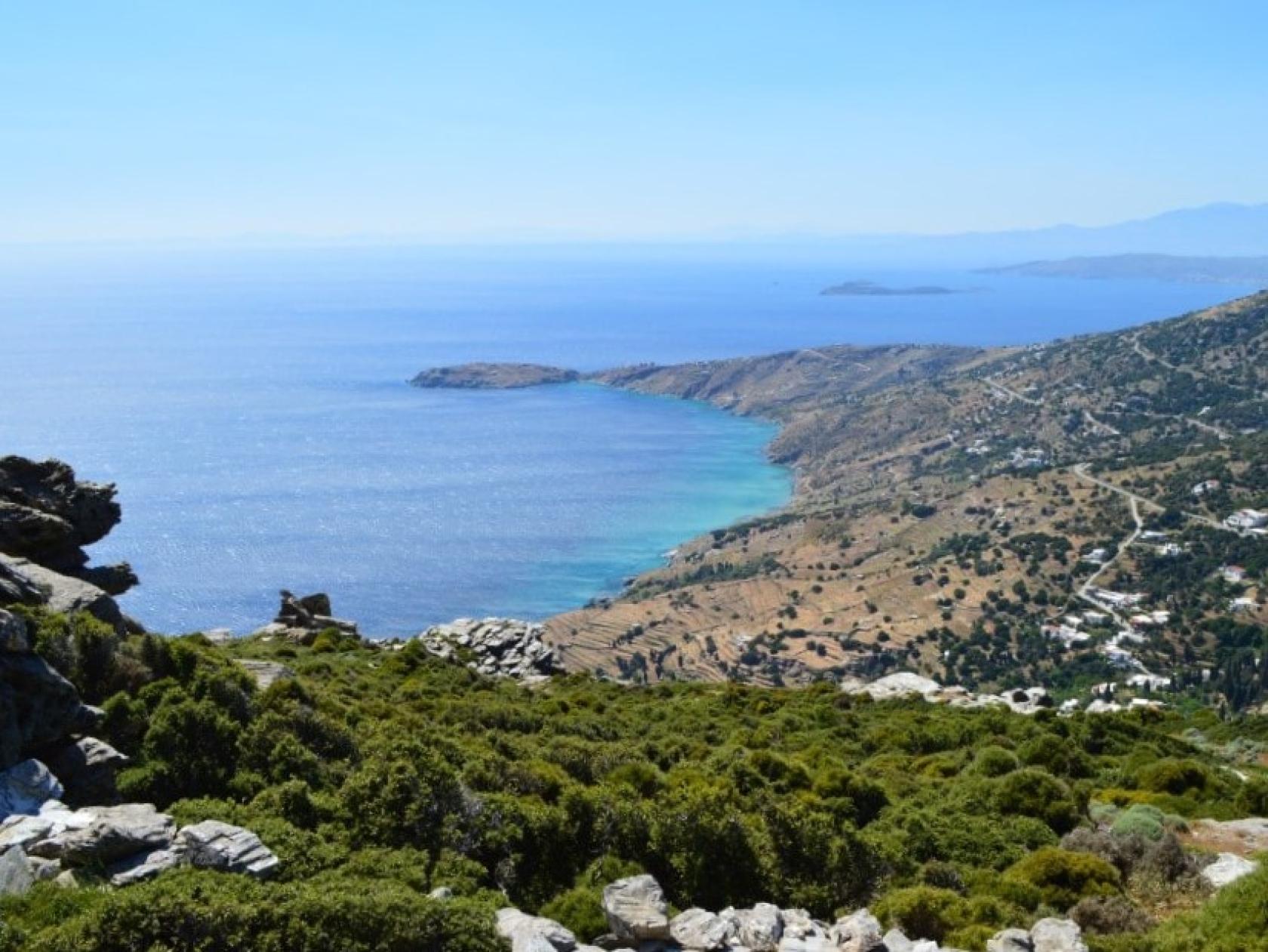
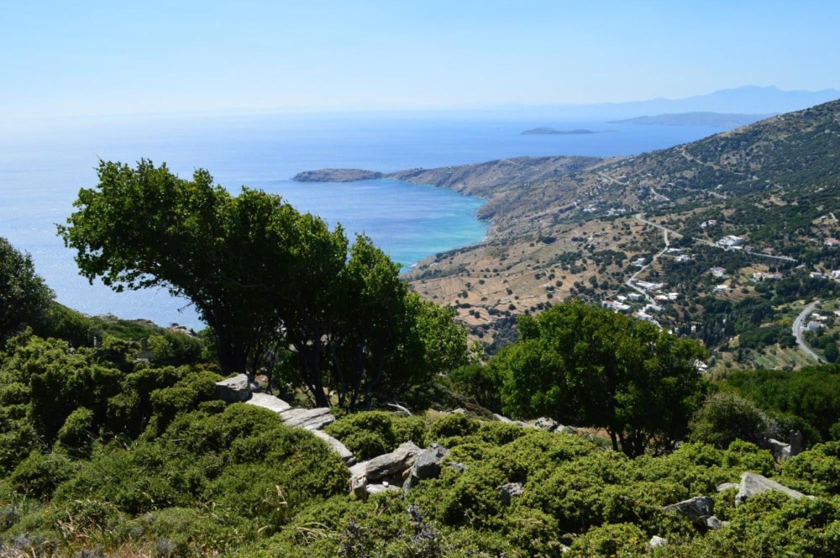
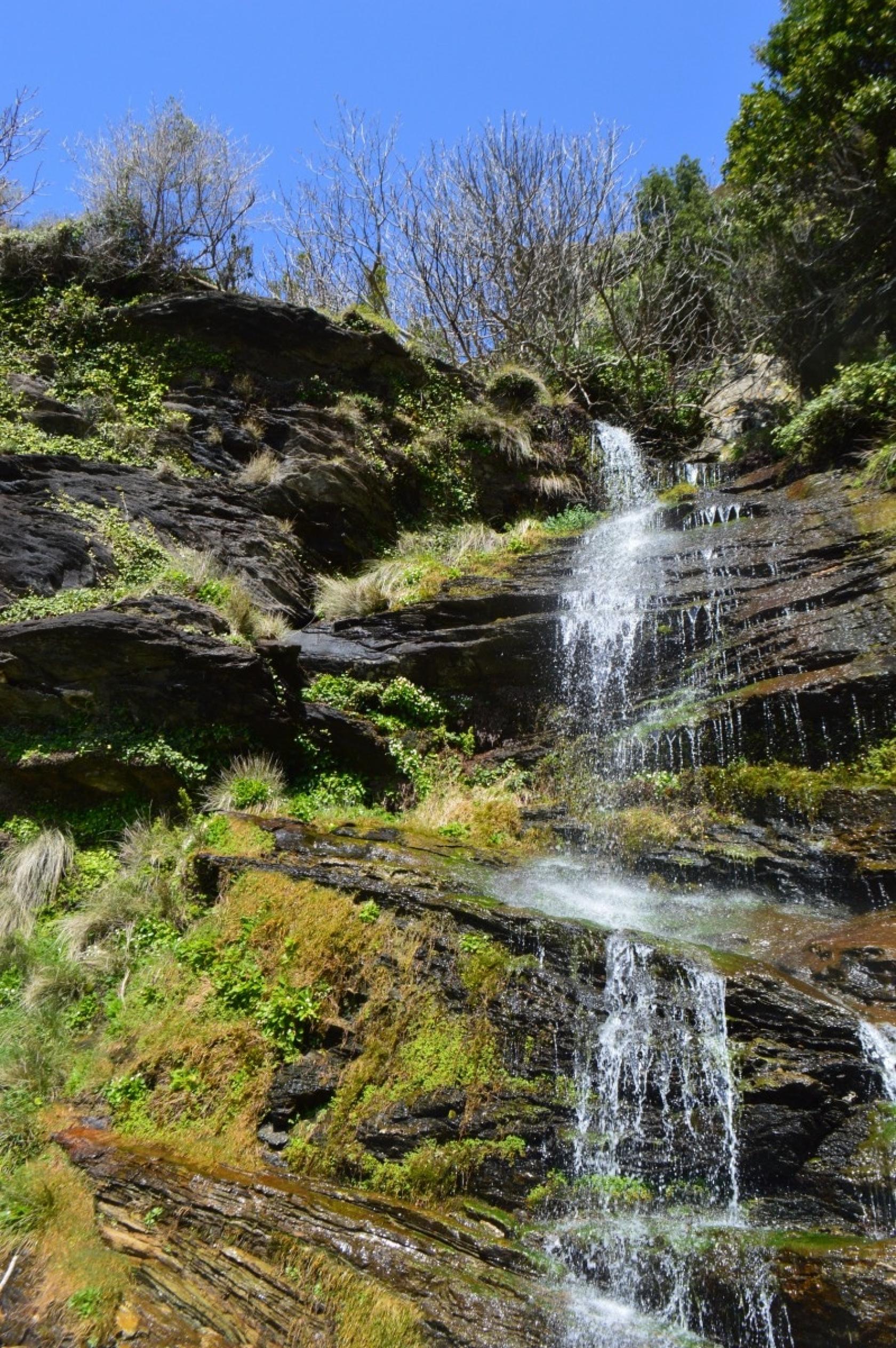
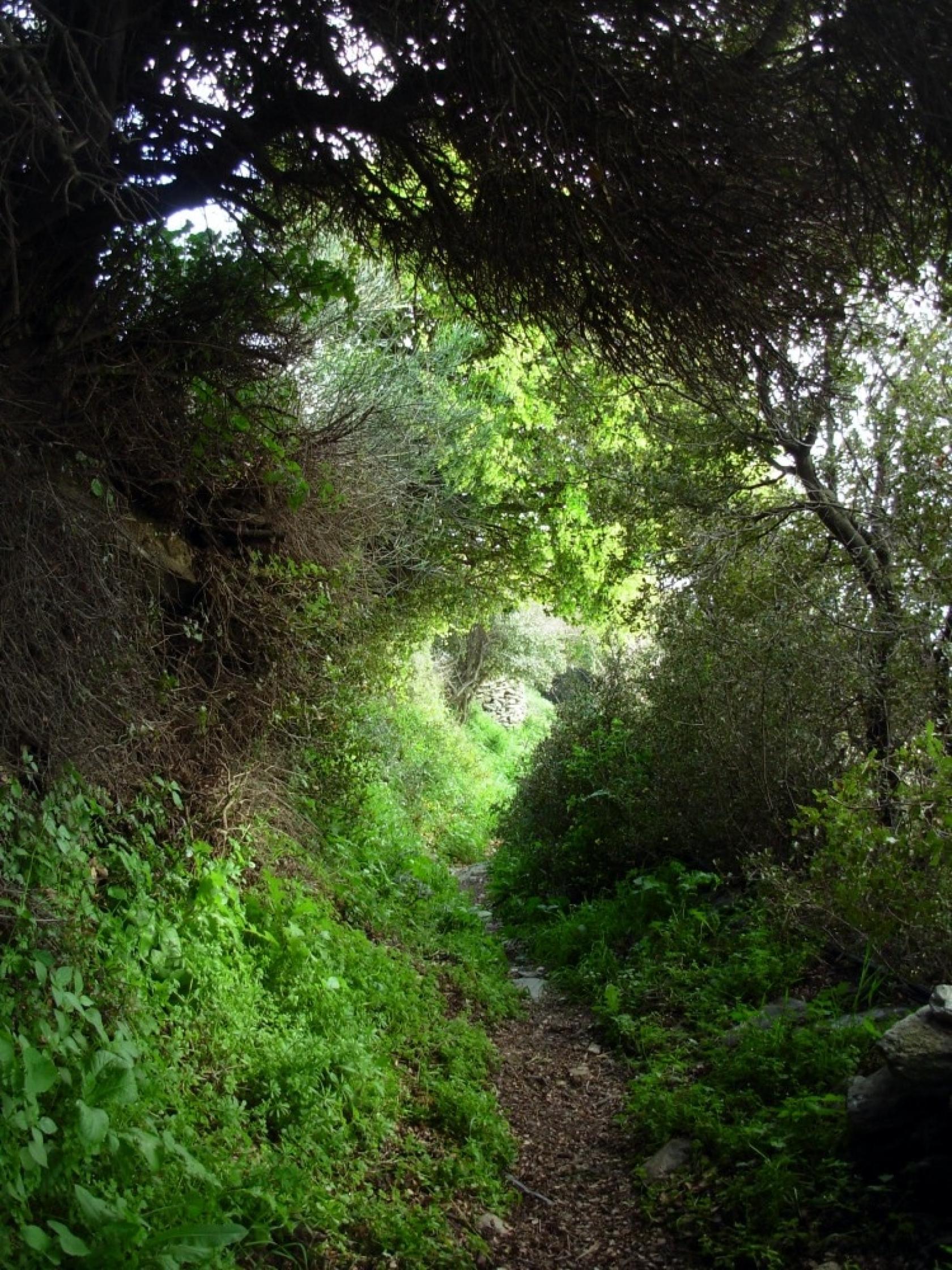
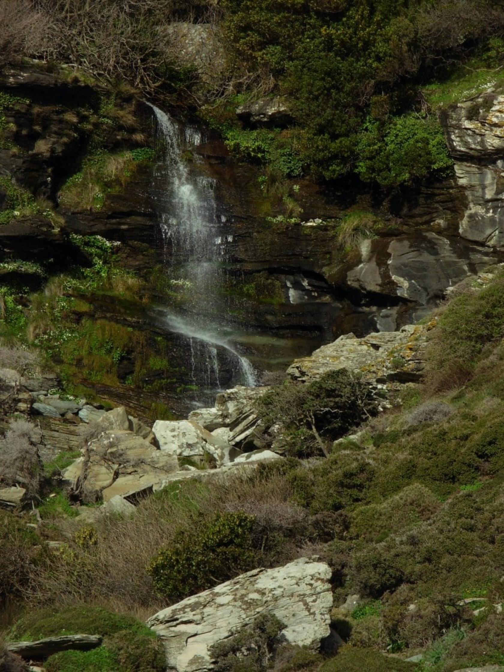
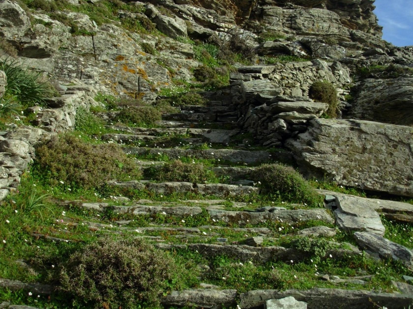
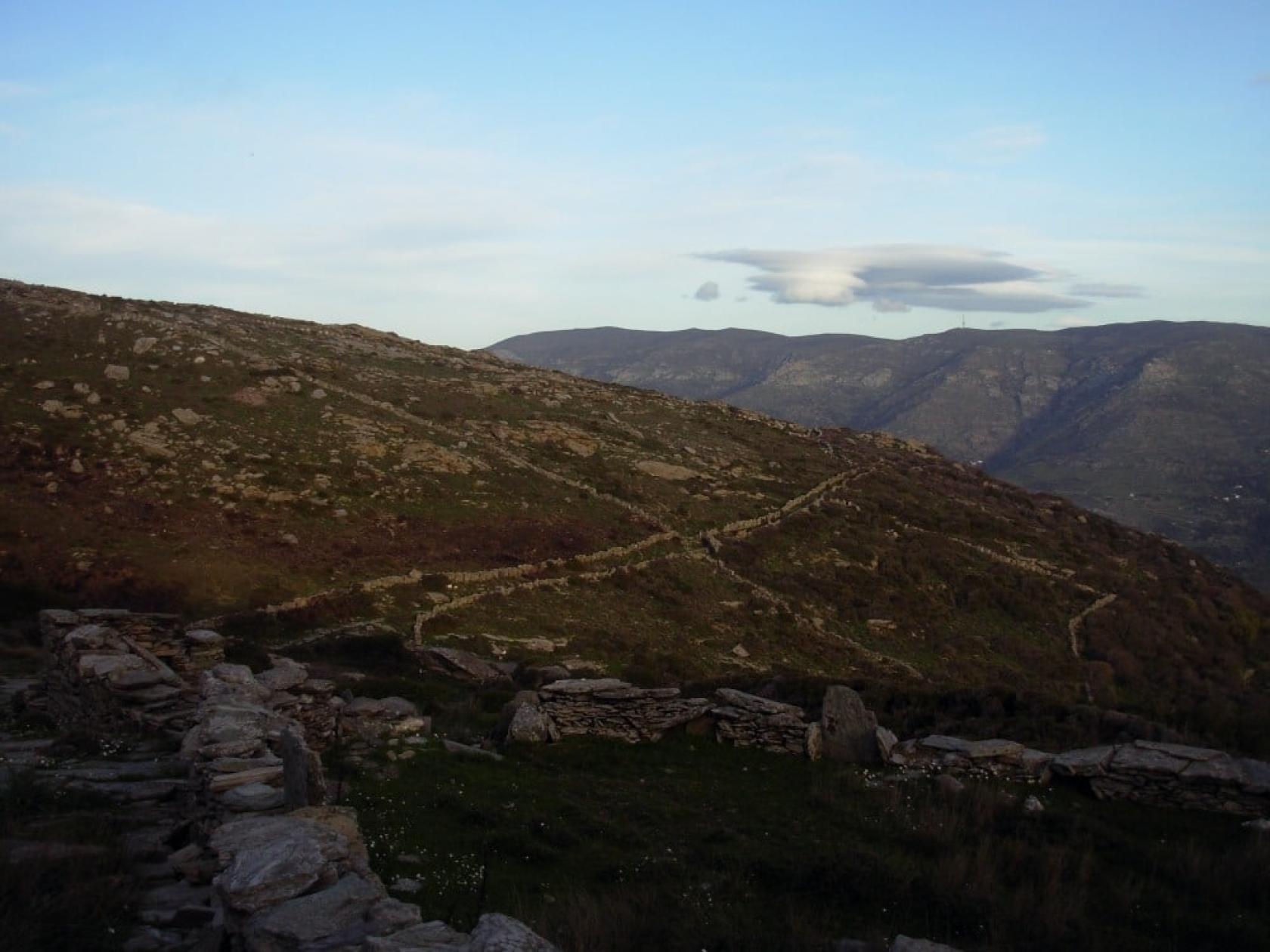
The Hiking trail 9 is a branch of the so-called “Ample Way” (“Fardia Strata” or “Arvanitikos Dromos”), one of the longest and most significant routes on the island, which connects Central and East Andros with the North and Southern parts traversing mountain Petalo. A route typical of the diversity of the natural and man-made landscape of Andros.
Access to Hiking Trail 9
Tarmac road from Chora to Strapouries about 700m before the Spring of “Meliti” or Ano Aprovato to the extend of the taverna “Τo Mpalkoni tou Aigaiou” (balcony of the Aegean).
Connection with other routes
With route Strapouries - Evrouses and route to Chora through Ano Menites.
DISTANCE - DURATION
11.6 km / 3½ - 4 hours
MAX ALTIDUDE DIFFERENCE - DIFFICULTY LEVEL
70 m
Moderate
ASCENT - DESCENT
Ascent: 280 m
Descent: 350 m
STARTING - ENDING
Starting point: START point on the map
Ending point: END point on the map
TRANSPORT
Transfer to the starting point: By Car or by Taxi
DRINKABLE WATER & FOOD
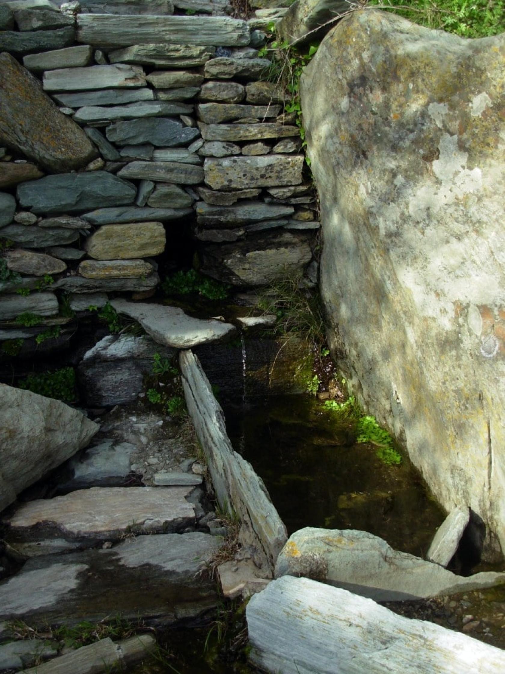
Water at Strapouries, Ano Pitrofo and Palaiopoli. Food at Ano Aprovato and Strapouries
ROUTE CONDITION
Open
See the latest cleanups at www.androsroutes.gr

Texts - Photos - Maps: Andros Routes