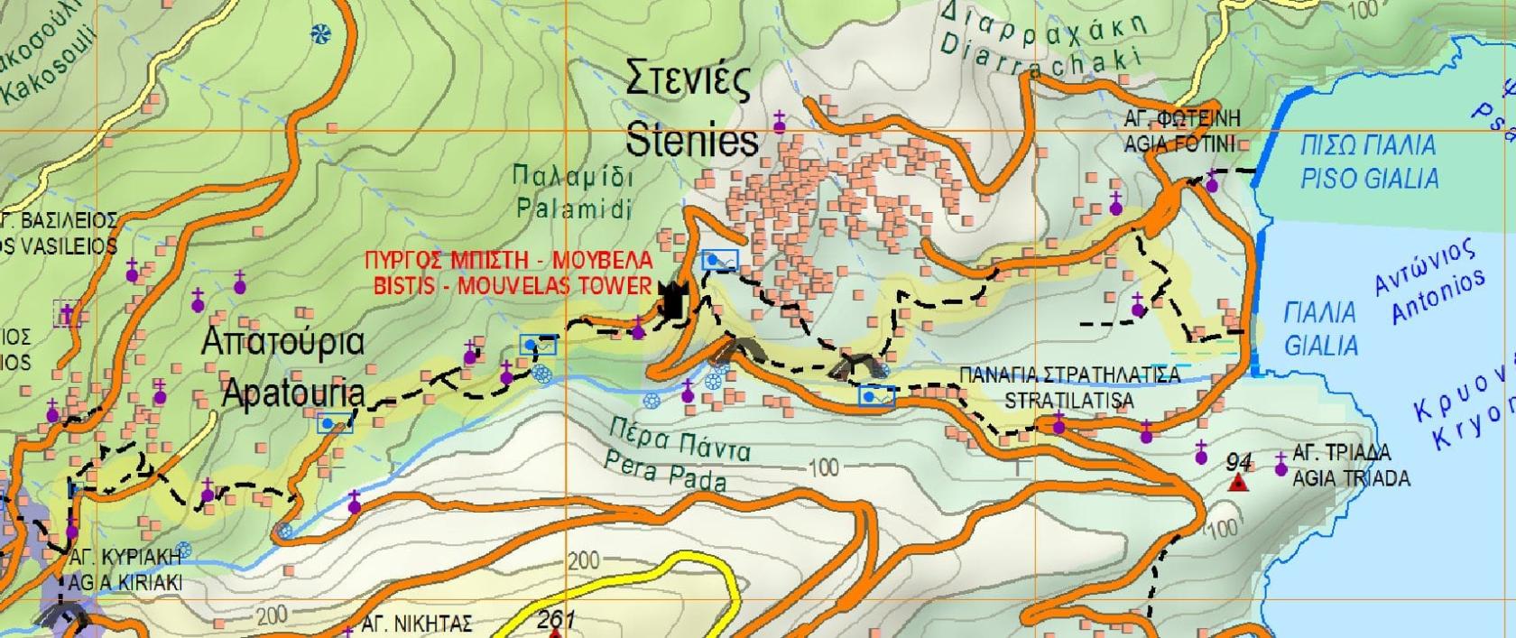
Hiking Trail 8 - 8a

![]()
![]()
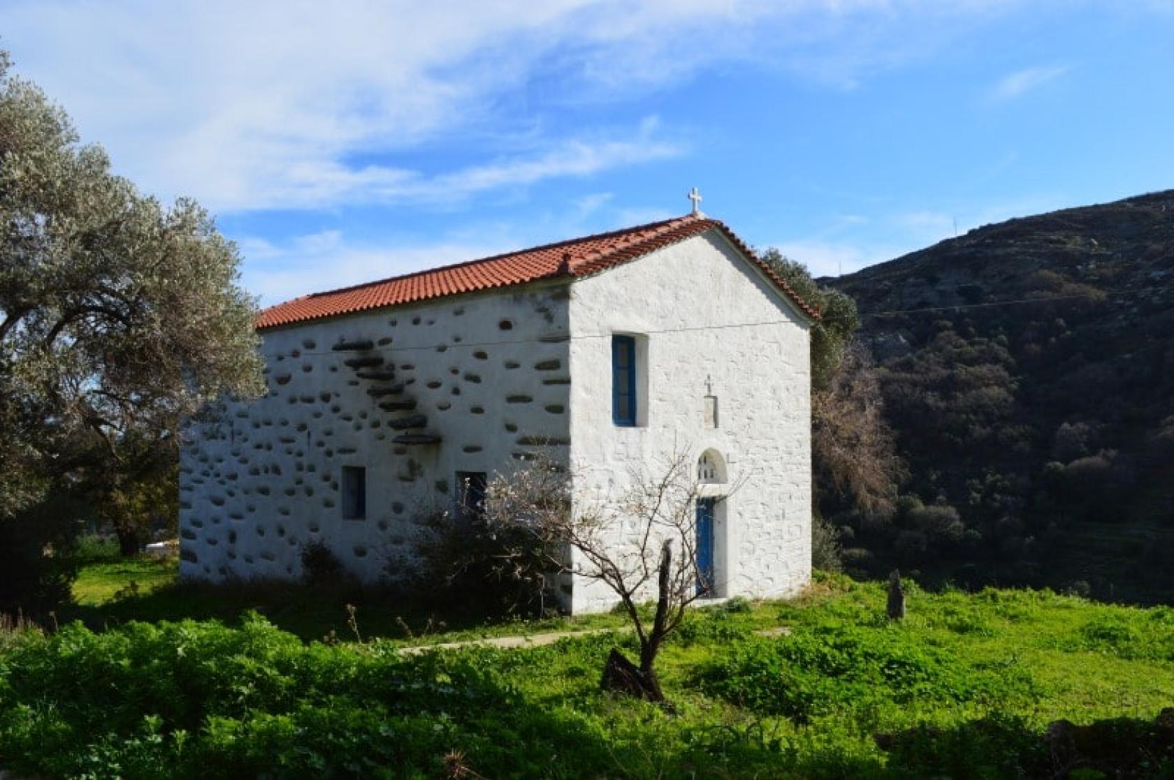
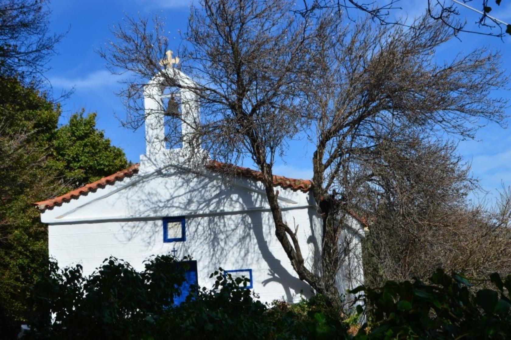
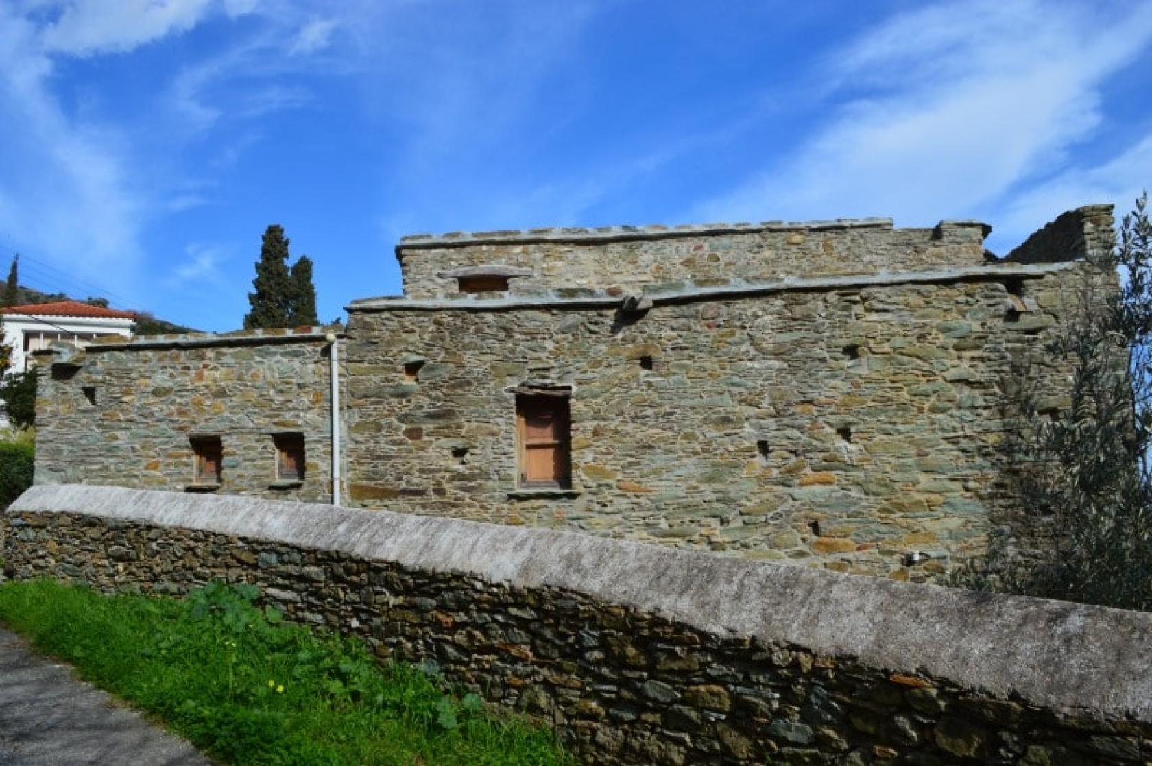
Apoikia - Apatouria - Stenies - Gialia - Neimporio
The Hiking trail 8 - 8a is a beautiful circular route with lush vegetation, passing through major settlements of seamanship and rural Andros, parallel to Pythara ravine. Remarkable diversity of scenery and important monuments.
Access to Hiking Trail 8 - 8a
On the main square of Apikia (main road from Chora to Apikia) and Neimporio.
Connection with other routes
Connection with No 2 from Chora - Apikia - Katakaleous - Vourkoti and No 2a to Pytharas waterfalls.
DISTANCE - DURATION
3.8 km / 1 hour & 30 min No 8
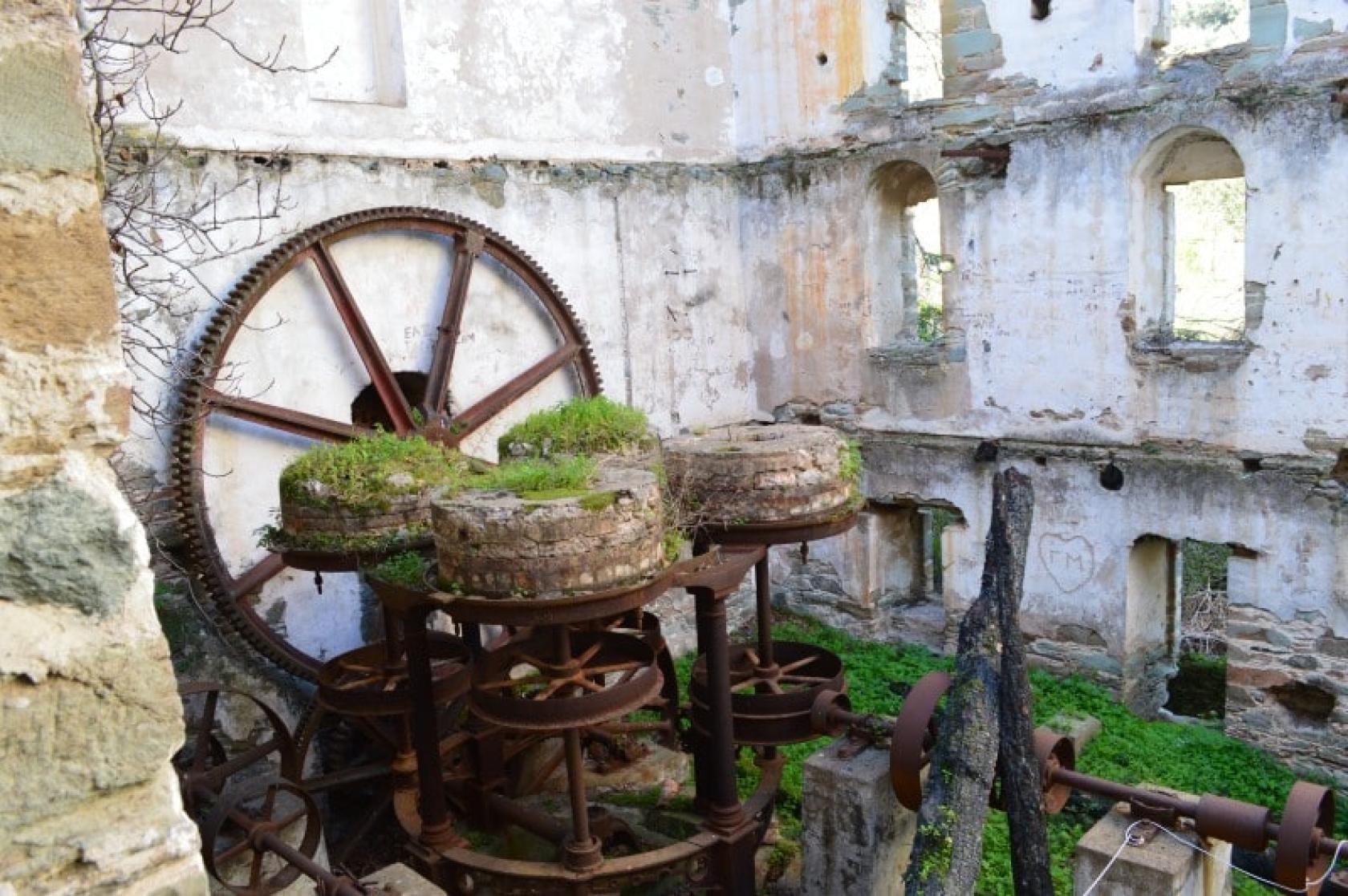
5.7 Km / 2 hours (detour to Empirikos watermill included No 8a)
ALTIDUDE DIFFERENCE - DIFFICULTY LEVEL
290 m
Moderate
STARTING - ENDING
Starting point: START point on the map
Ending point: END point on the map
TRANSPORT
Transfer to the starting point: By Car or by Taxi
DRINKABLE WATER & FOOD
Water at Apikia, Pigi Sariza, Apatouria, Stenies.
Food at Apikia, Gialia Beach, and above Piso Giala Beach
ROUTE CONDITION
Open
See the latest cleanups at www.androsroutes.gr

Texts - Photos - Maps: Andros Routes