Hiking Trail 7

![]()
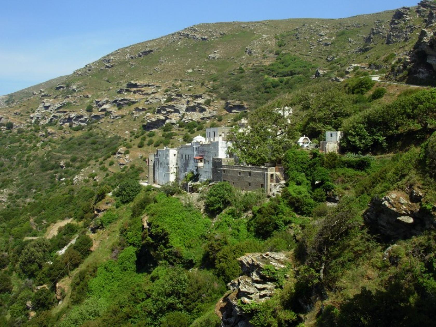
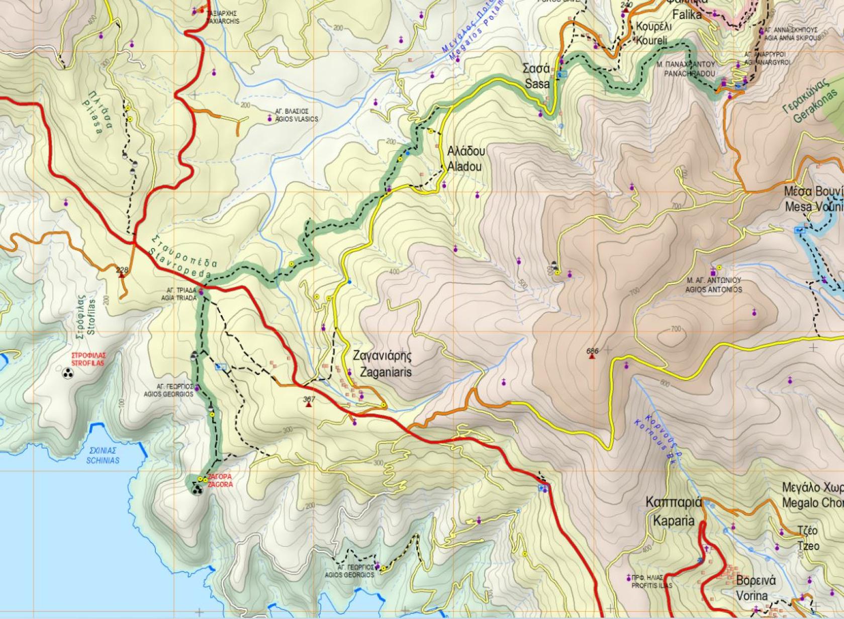
Stavropeda - Aladou - Sasa - Panachrantou Monastery
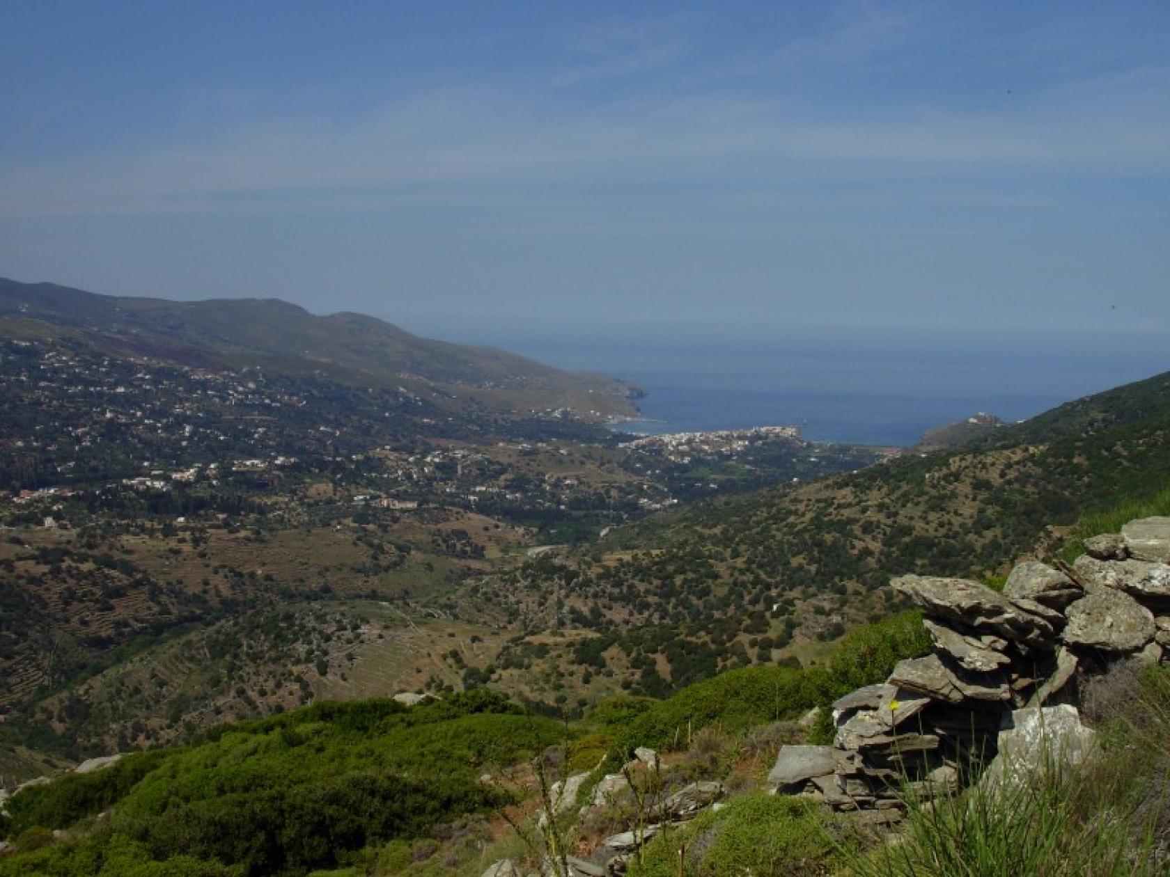
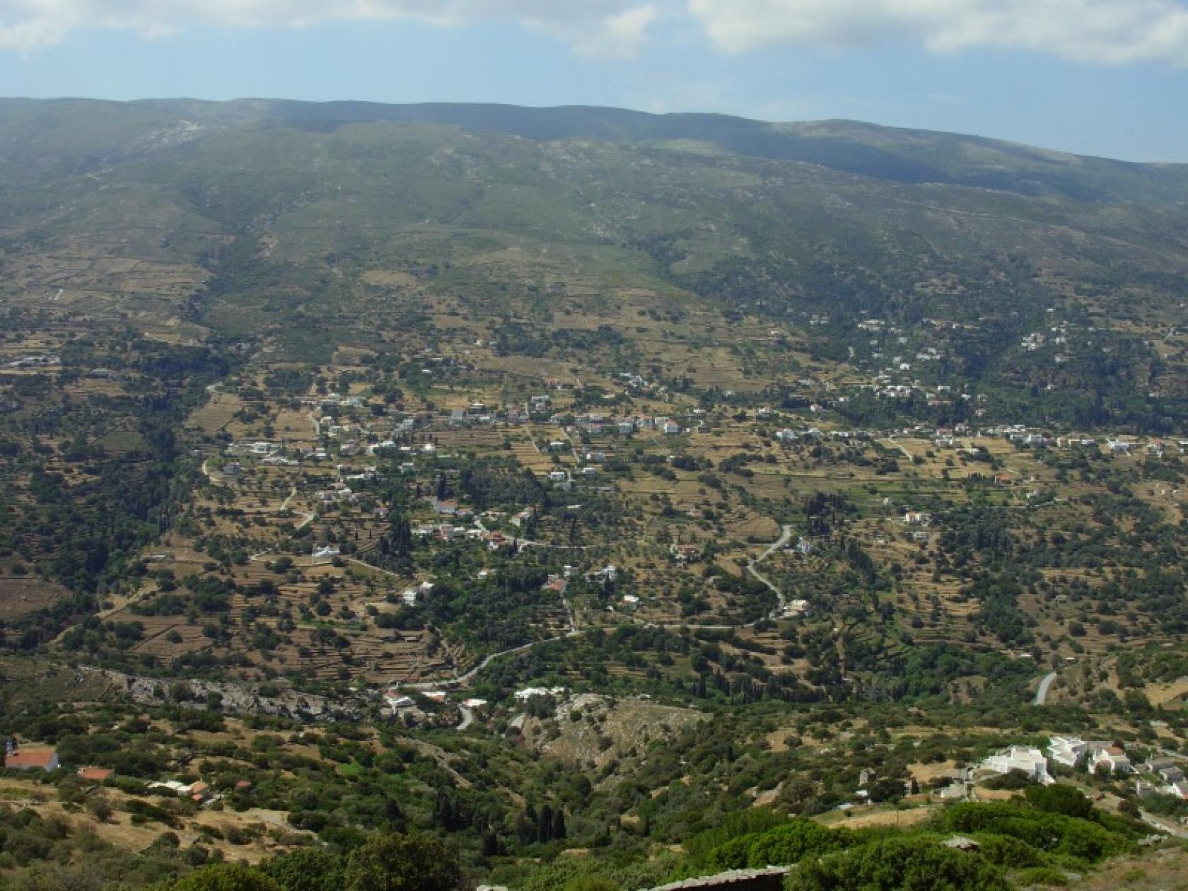
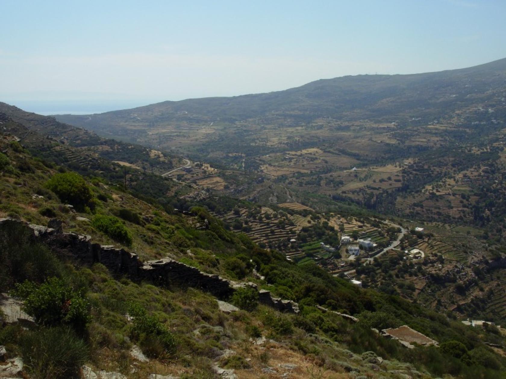
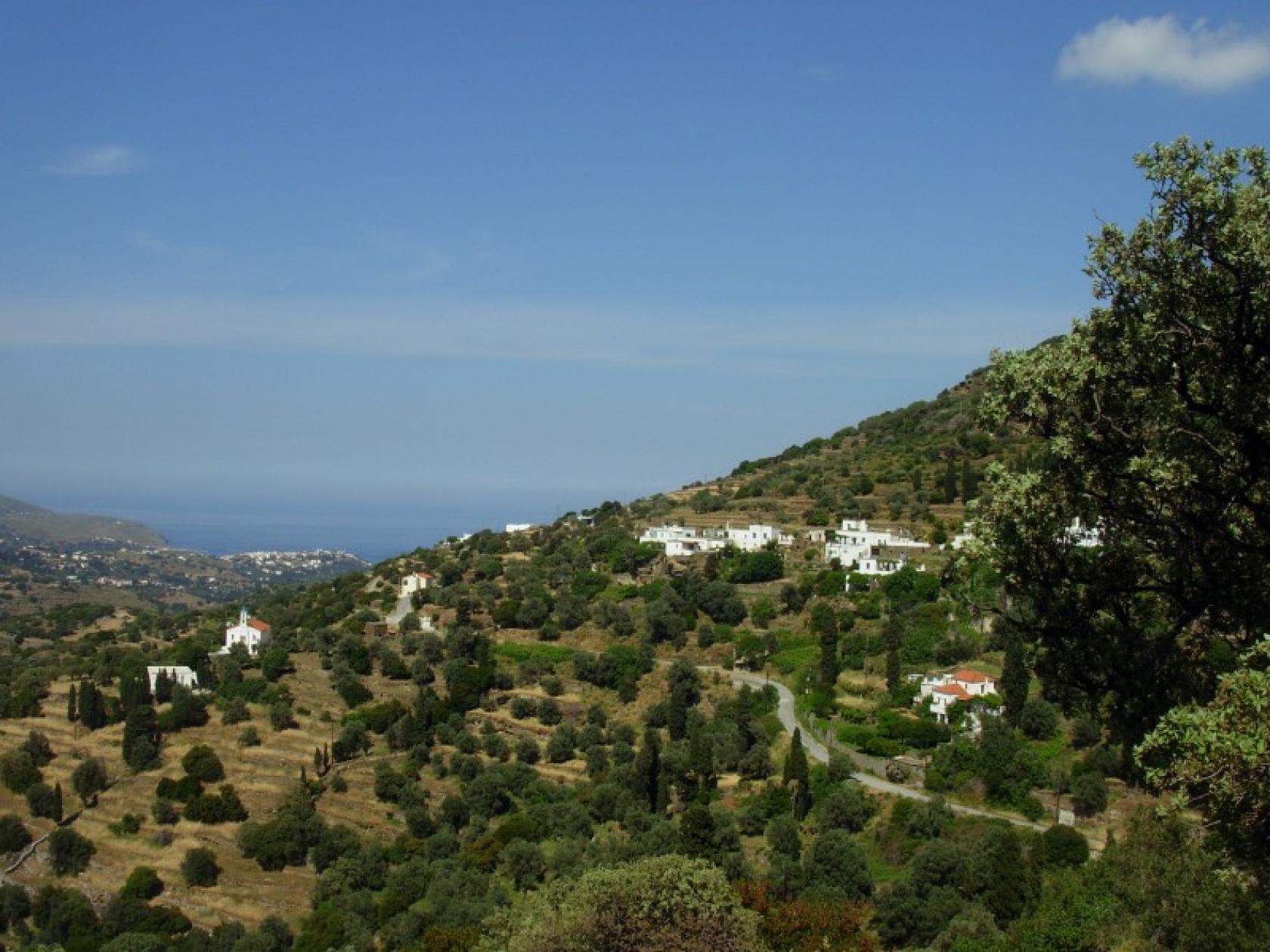
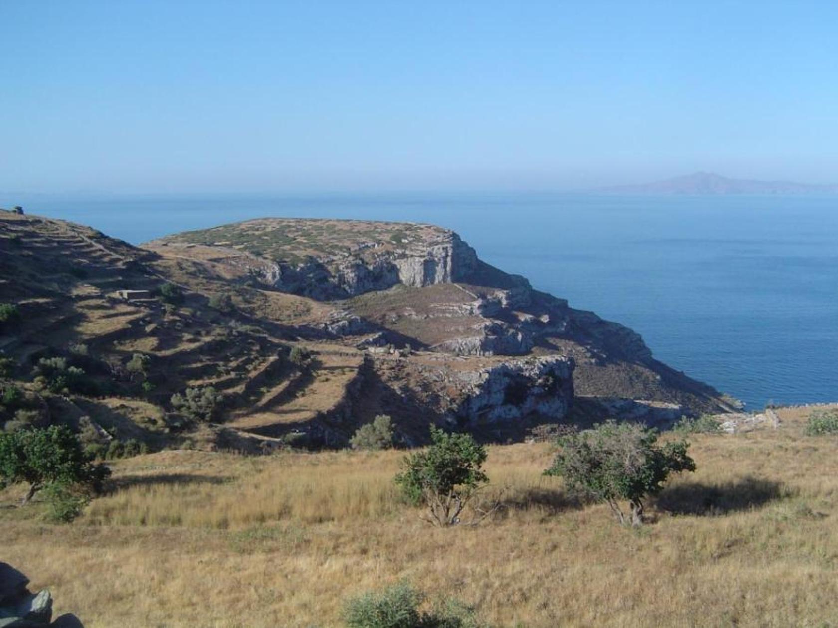
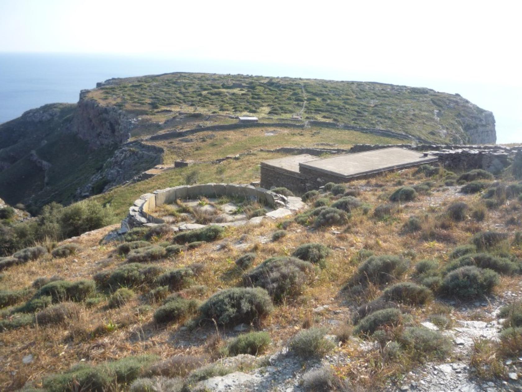
The Hiking trail 7 is a route of varied landscape, from the dry west coast to the green hinterlands along the biodiversity rich mountain range of Gerakonas. The lovely natural and agricultural landscape, the impressive views and the archaeological site of Zagora and the monastery of Panachrantou are some of the many attractions.
Access to Hiking Trail 7
On the main road from Stavropeda to Korthi in Agias Triadas chapel.
Connection with other routes
With route No 1 to Mesaria - Menites - Chora
DISTANCE - DURATION
6 km / 2 hours & 15 min (with the tour to the archaeological site of Zagora)
MAX ALTIDUDE DIFFERENCE - DIFFICULTY LEVEL
240 m
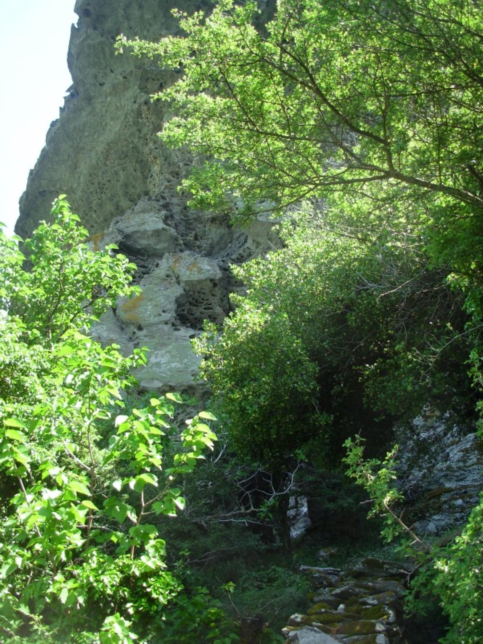
Difficult (A narrow and steep part crossing the ravine close to the Monastery)
ASCENT - DESCENT
Ascent: 240 m
STARTING - ENDING
Starting point: START point on the map
Ending point: END point on the map
TRANSPORT
Transfer to the starting point: By Car or by Taxi
DRINKABLE WATER & FOOD
Water at the villages Sasa, Aladou, Panachrantou Monastery.
Food at Kafenio (cafe) in Stavropeda
ROUTE CONDITION
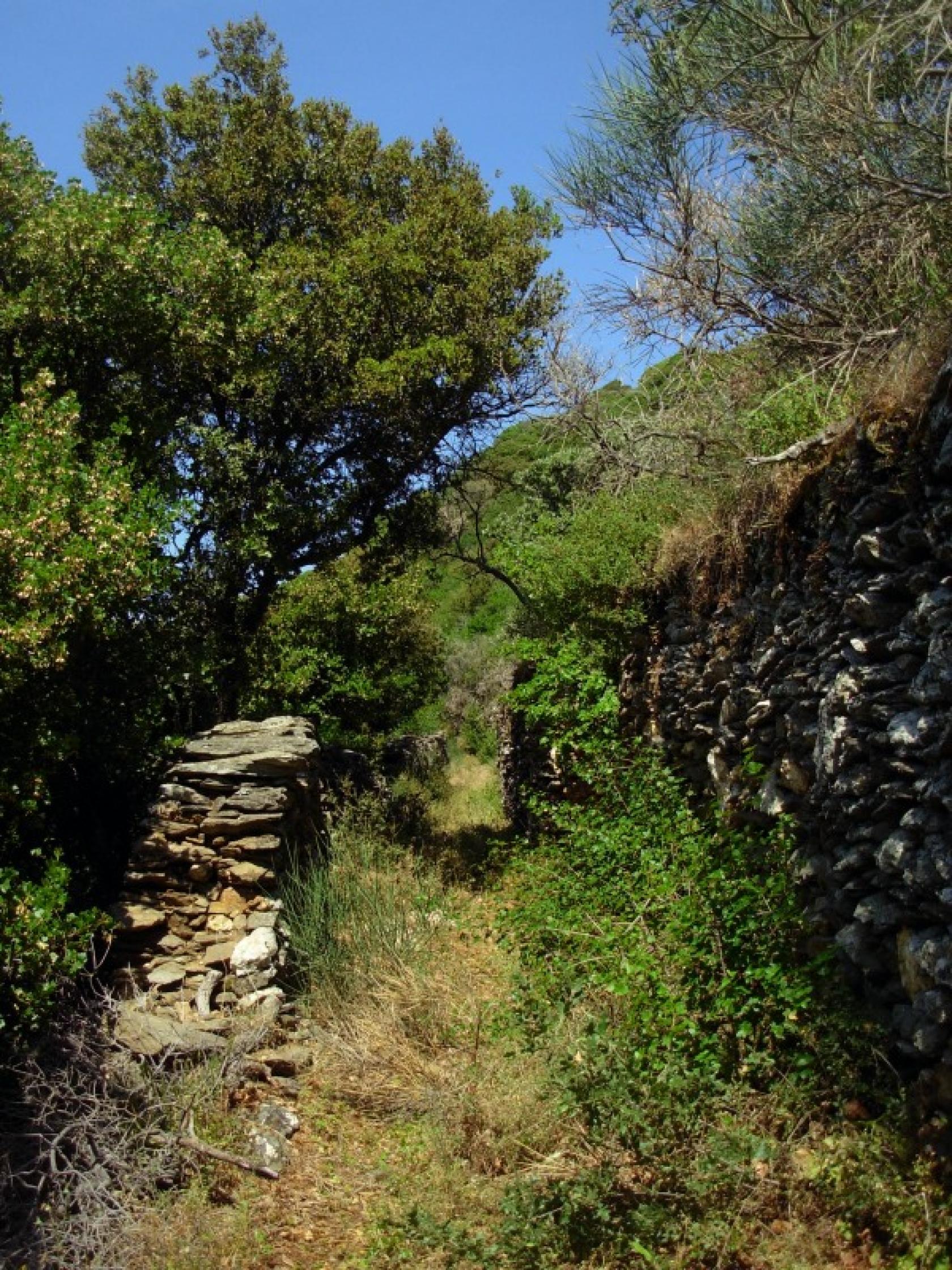
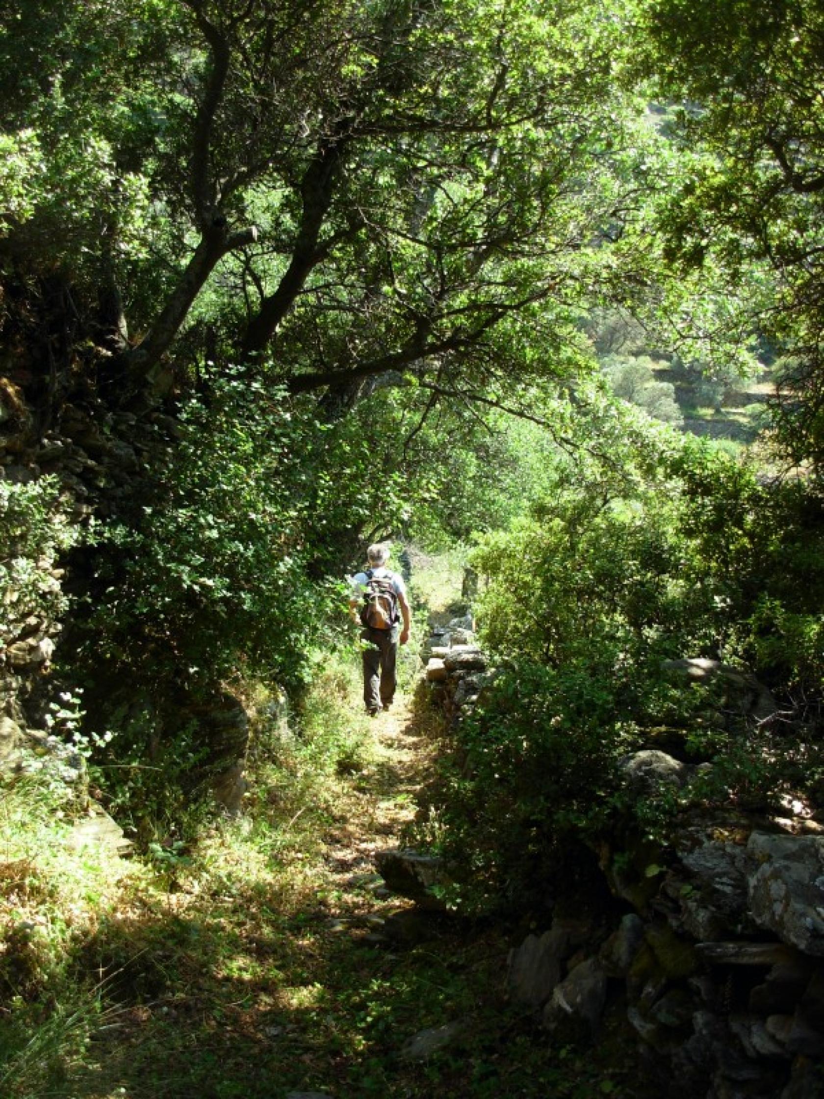
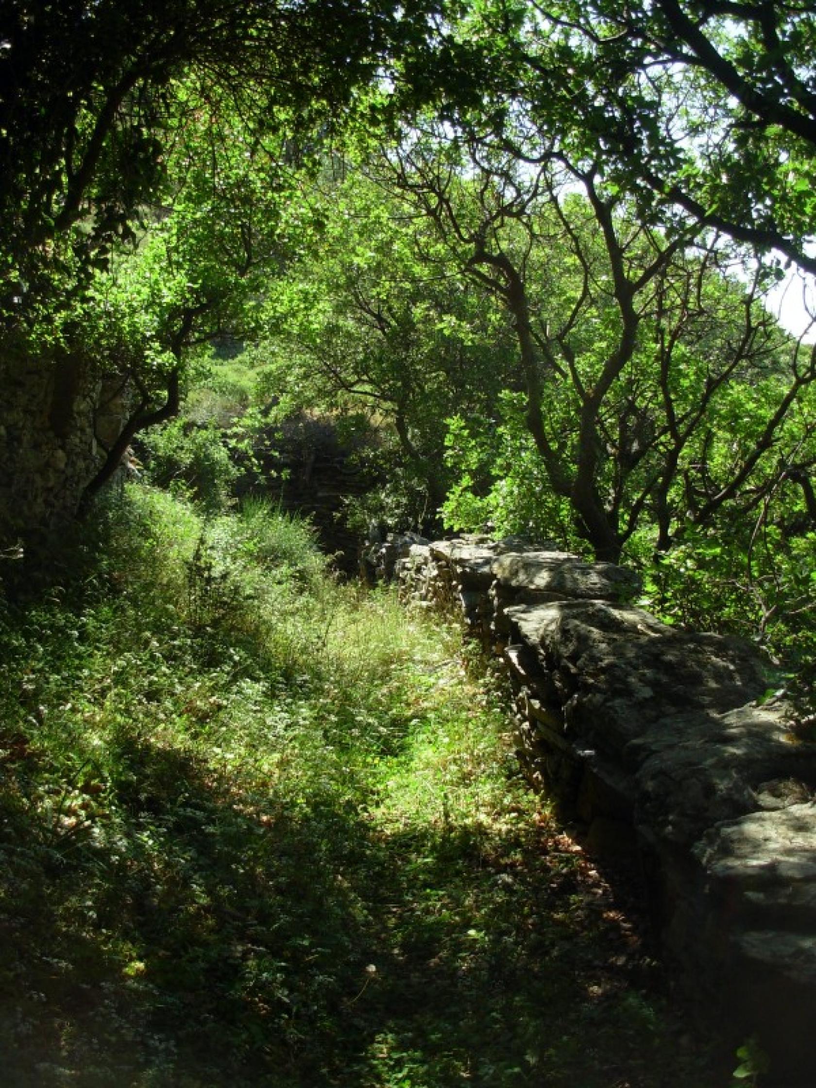
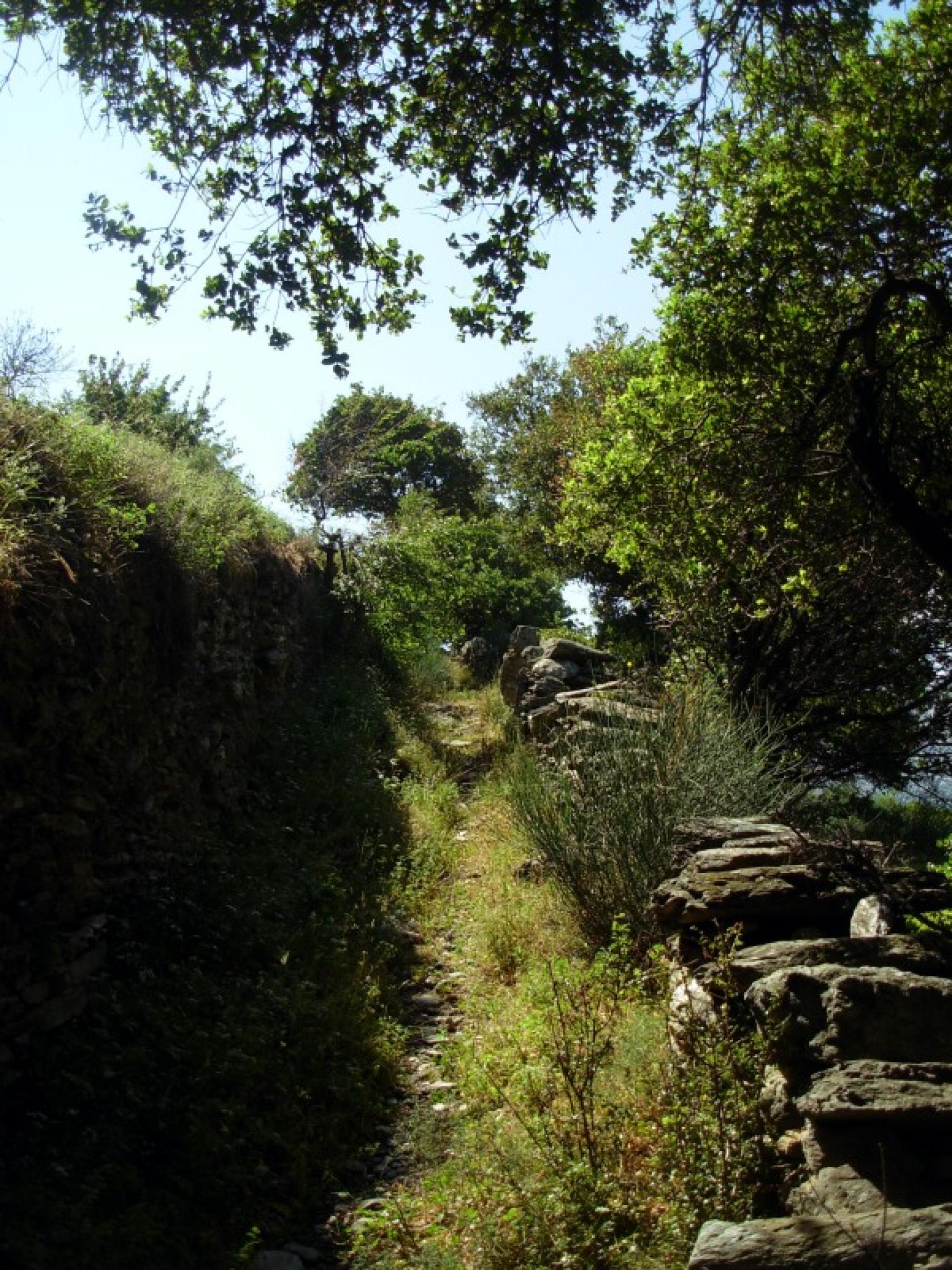
Open with a bit overgrown vegetation at parts
See the latest cleanups at www.androsroutes.gr

Texts - Photos - Maps: Andros Routes