Hiking Trail 4

![]()
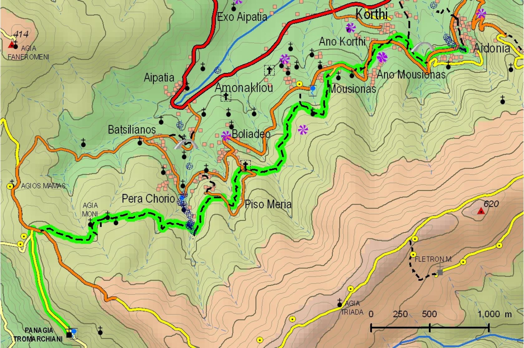
Tromachion Monastery – Piso Meria – Ammonakleiou – Mousionas – Aidonia
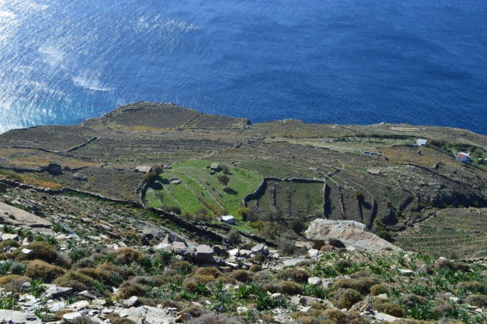
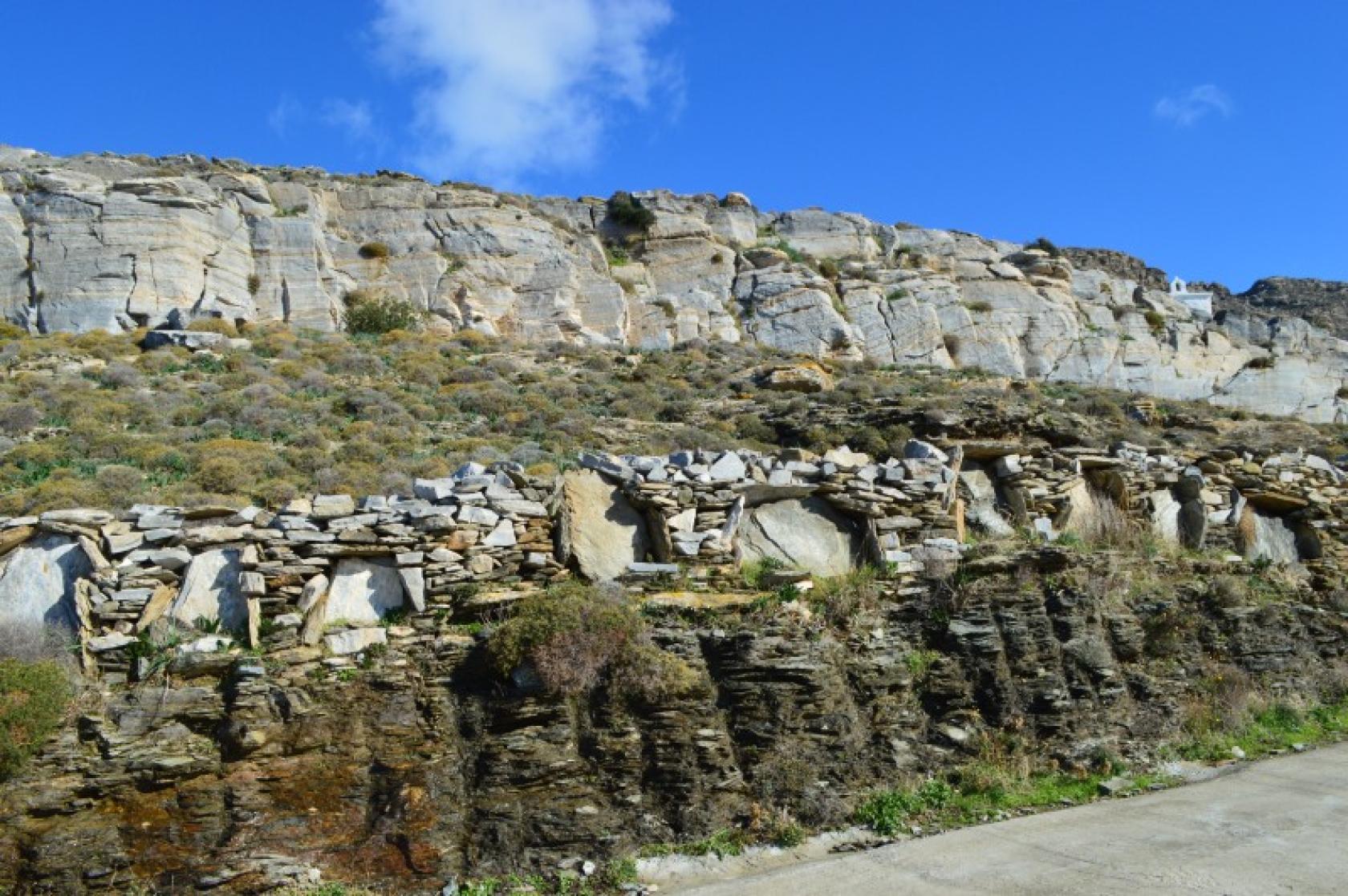
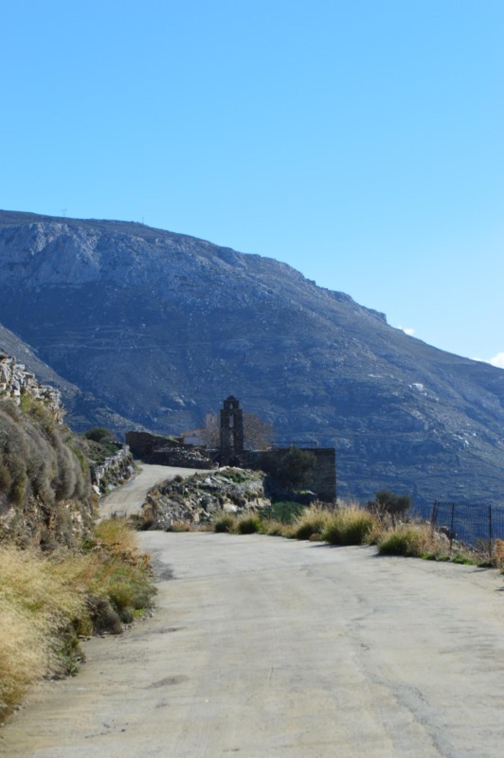
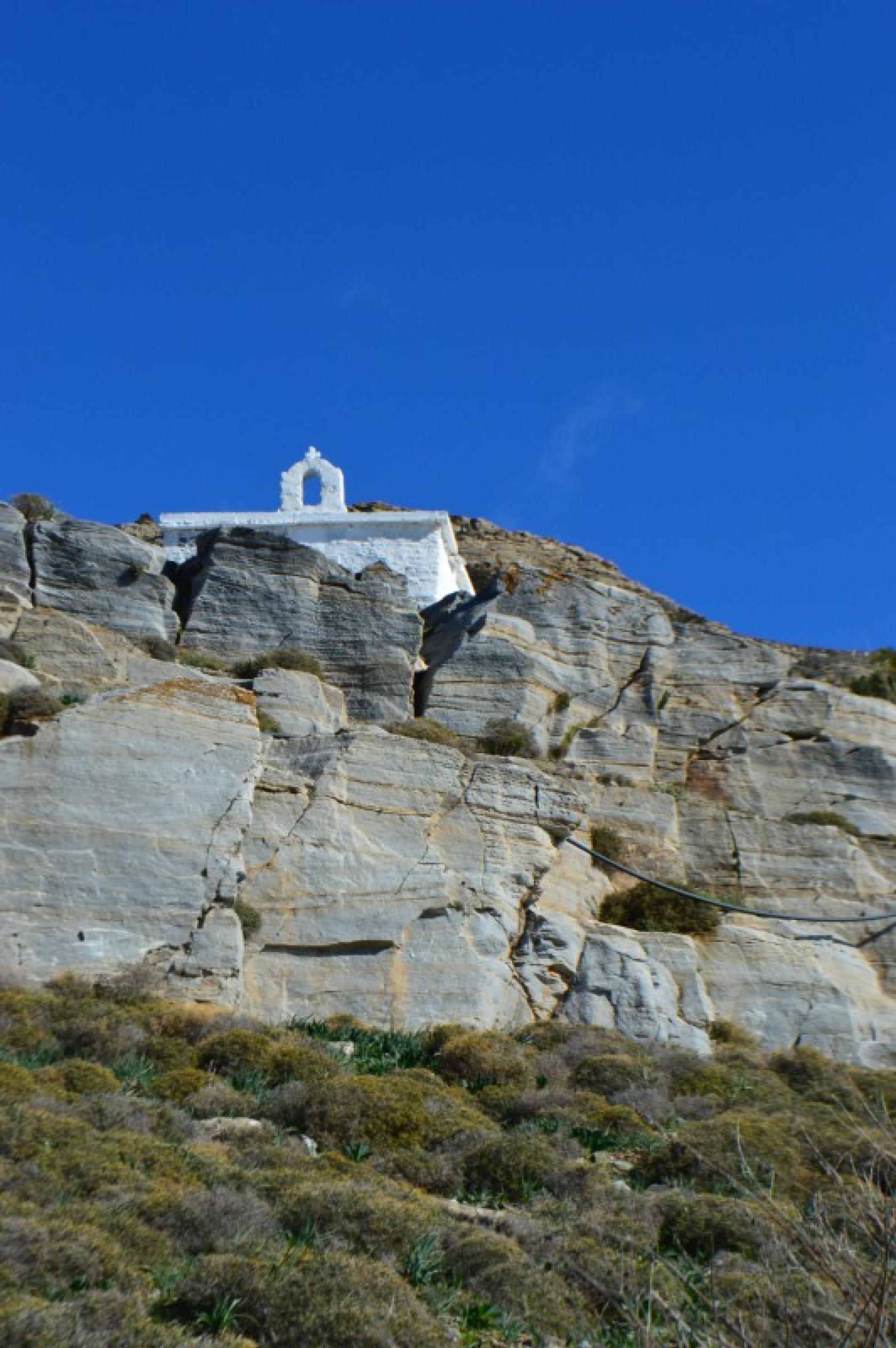
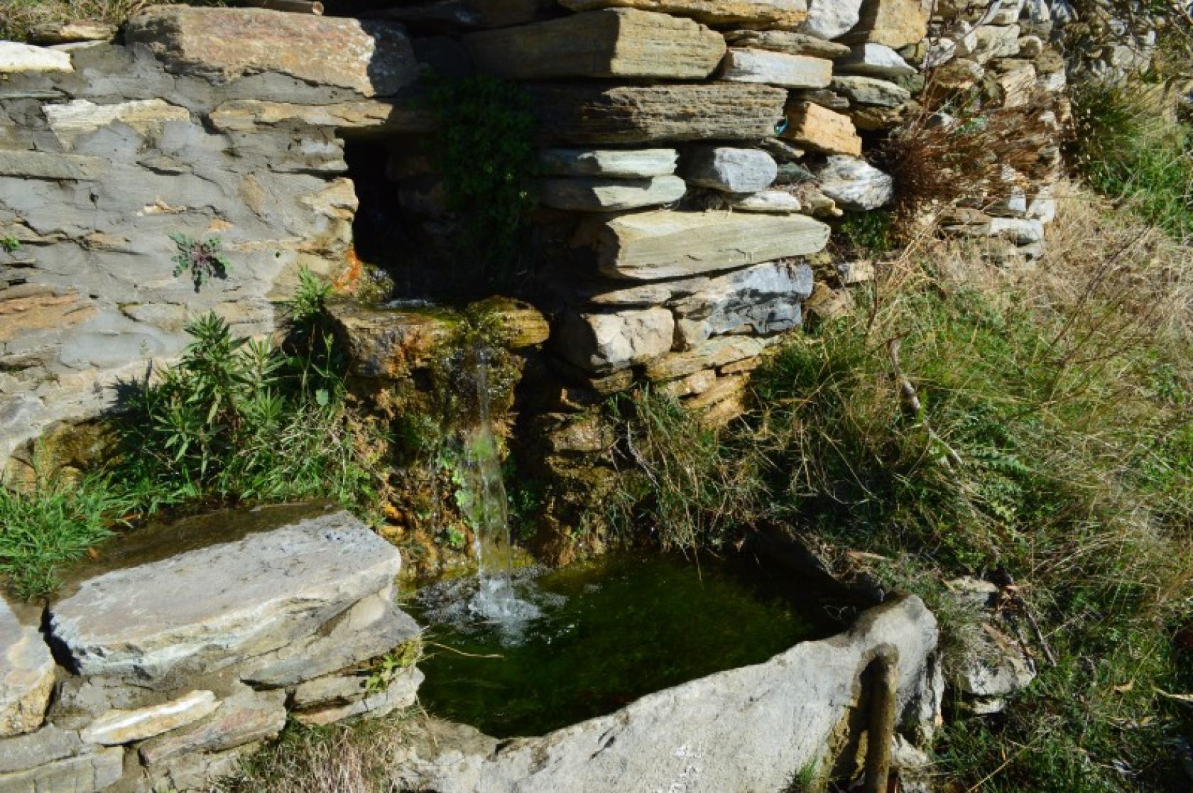
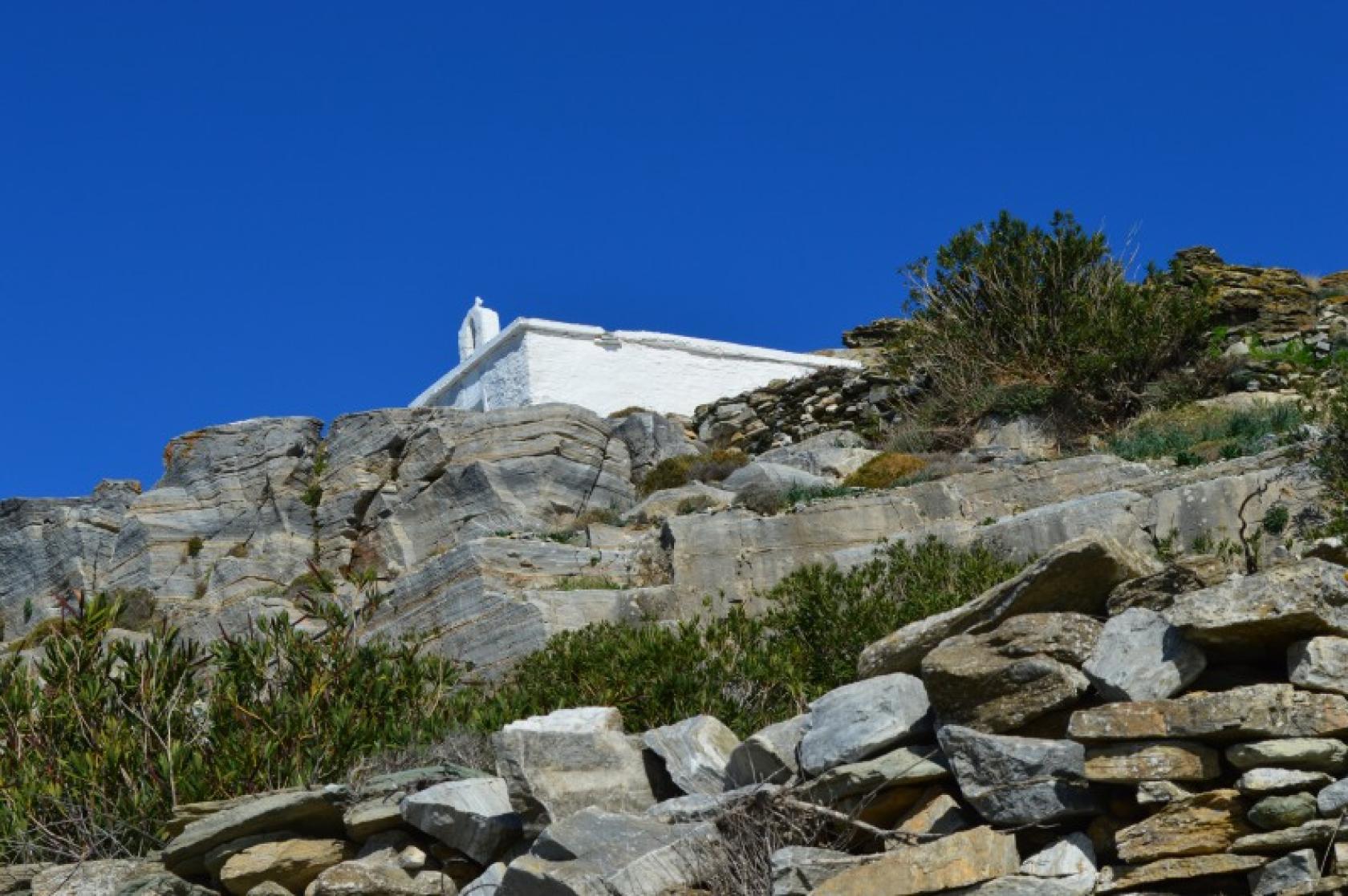
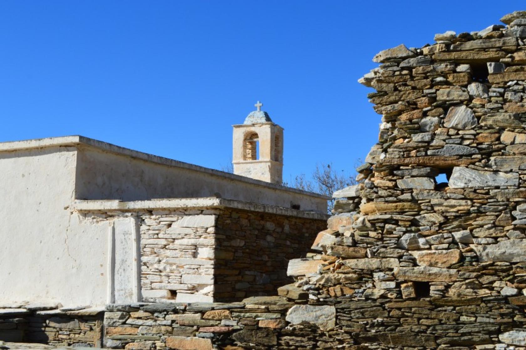
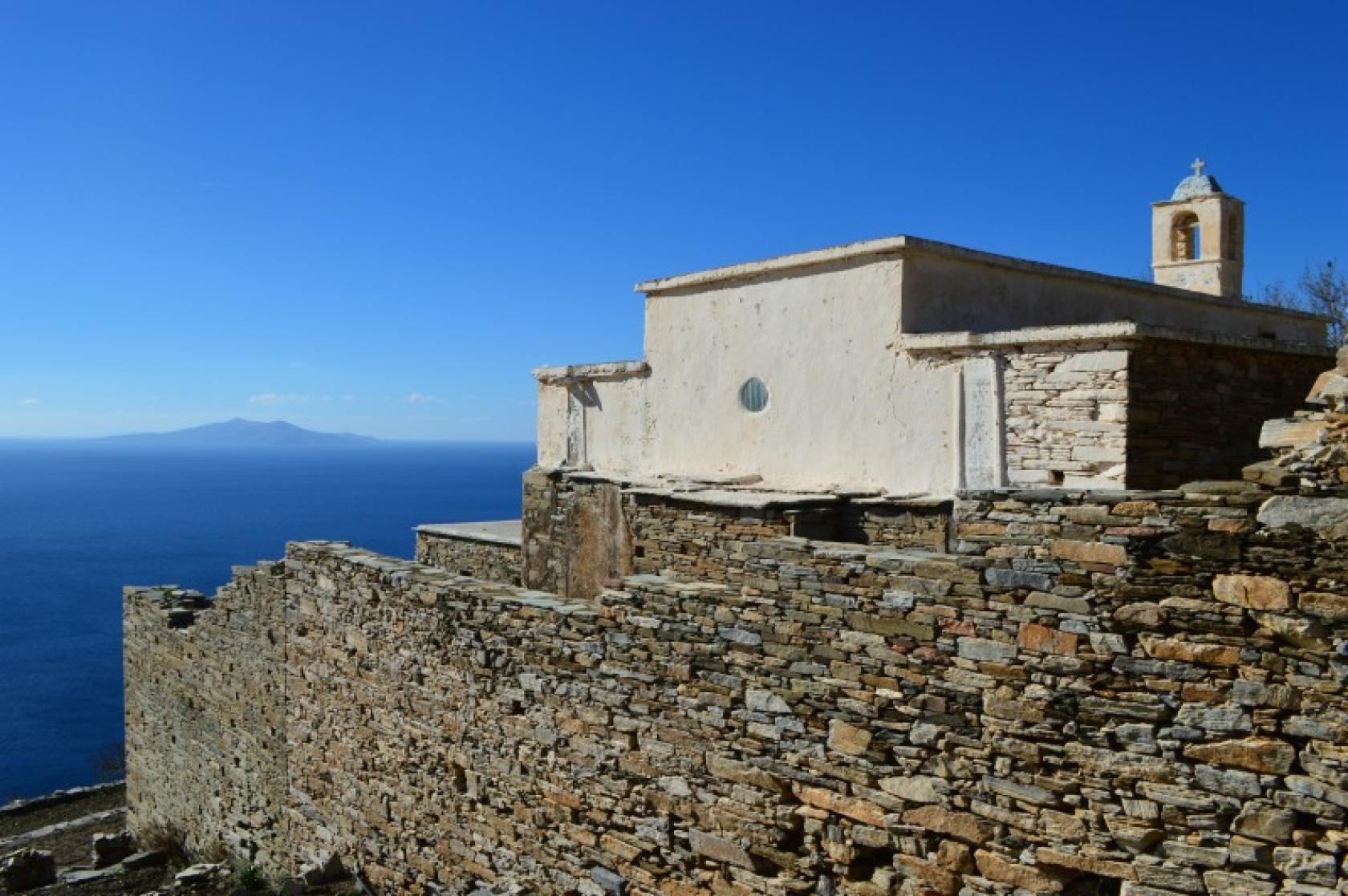
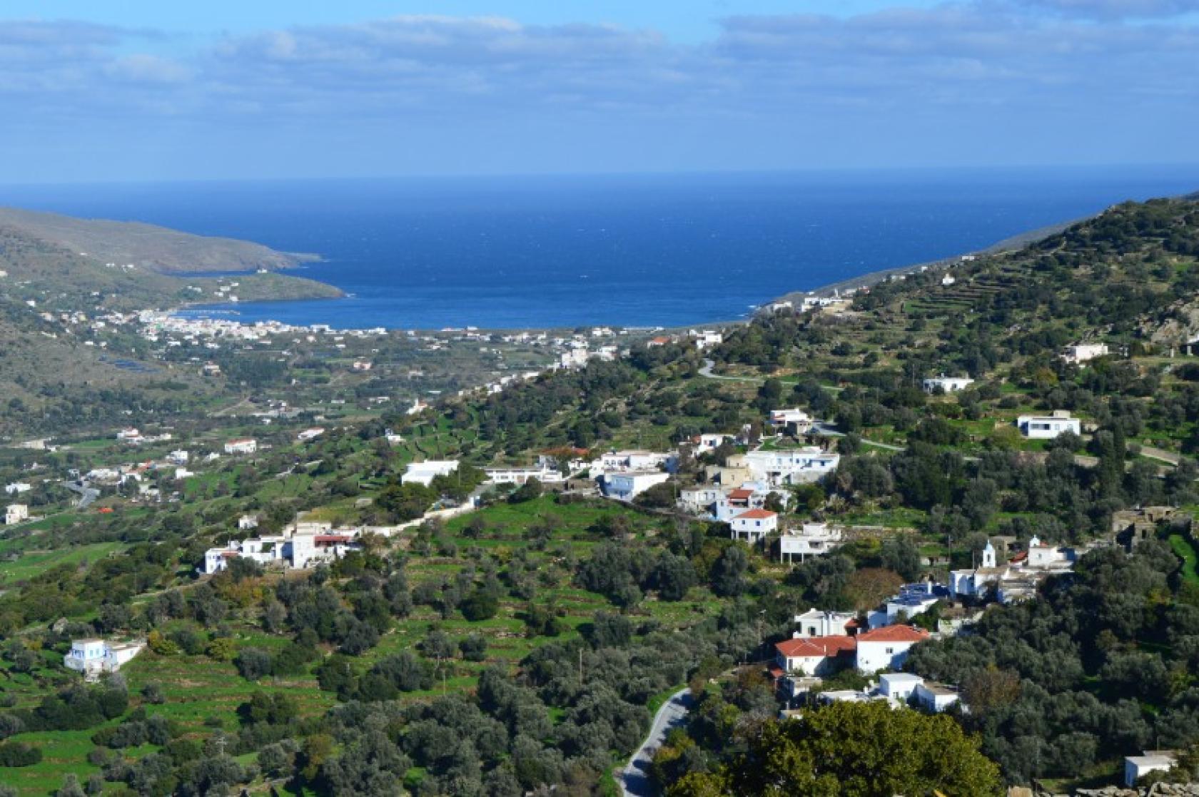
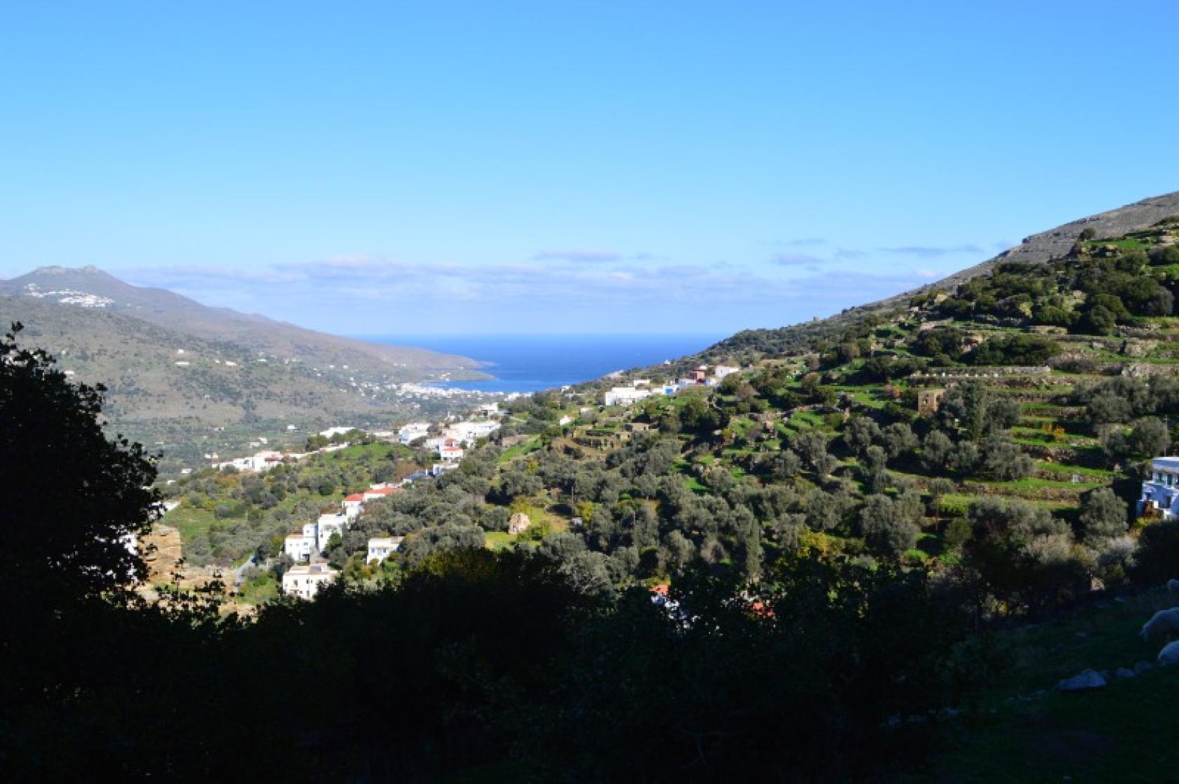
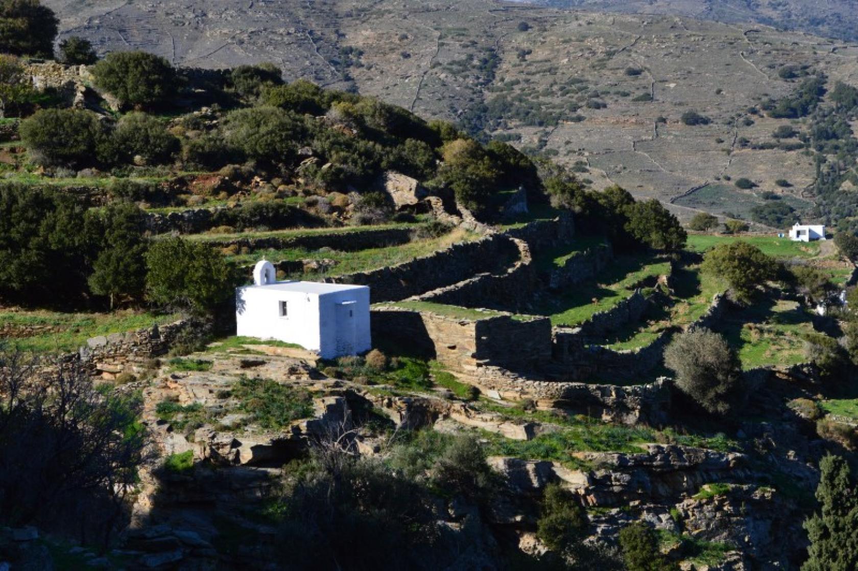
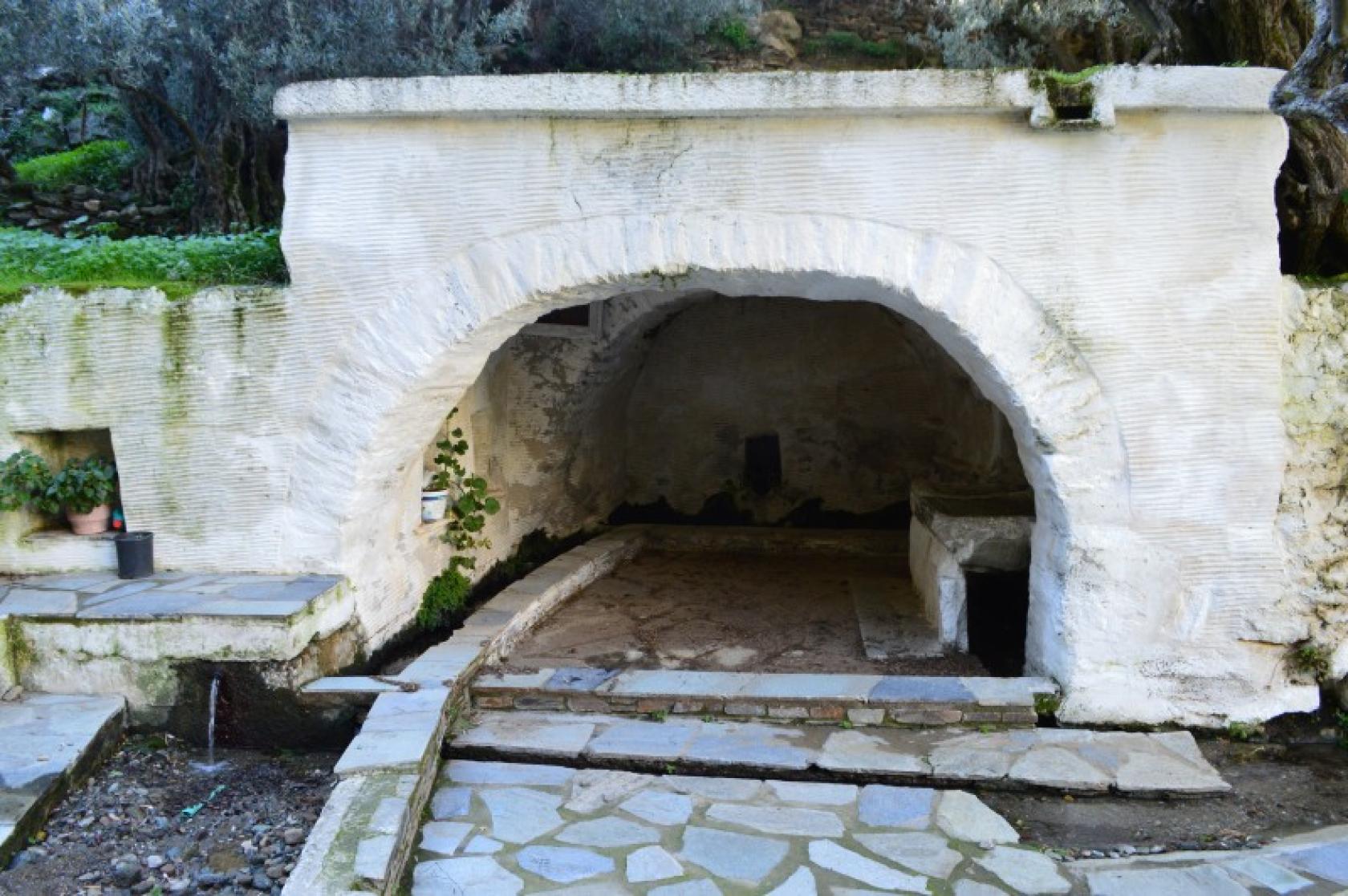
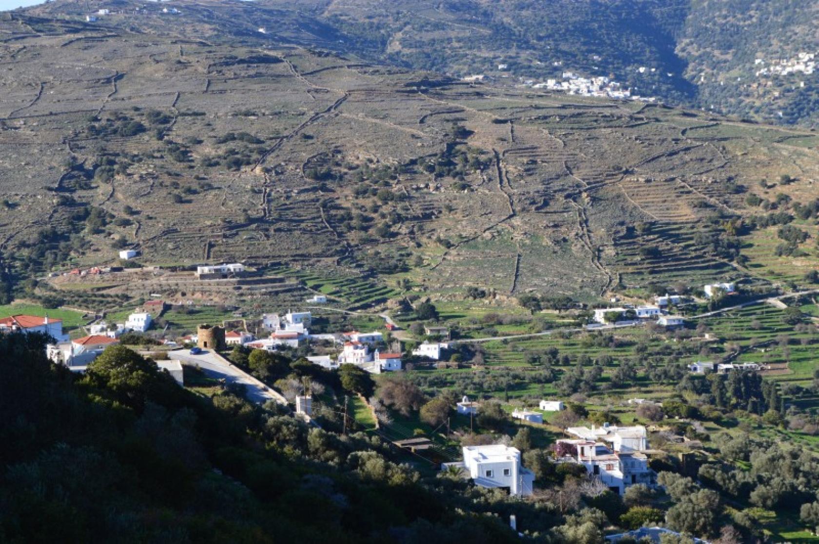
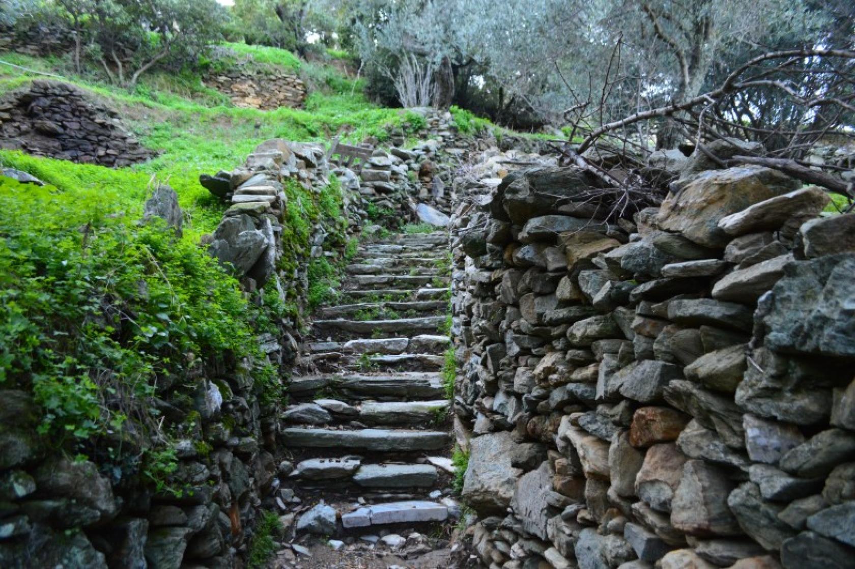
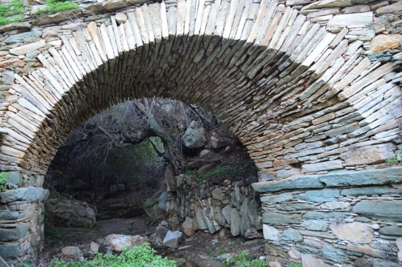
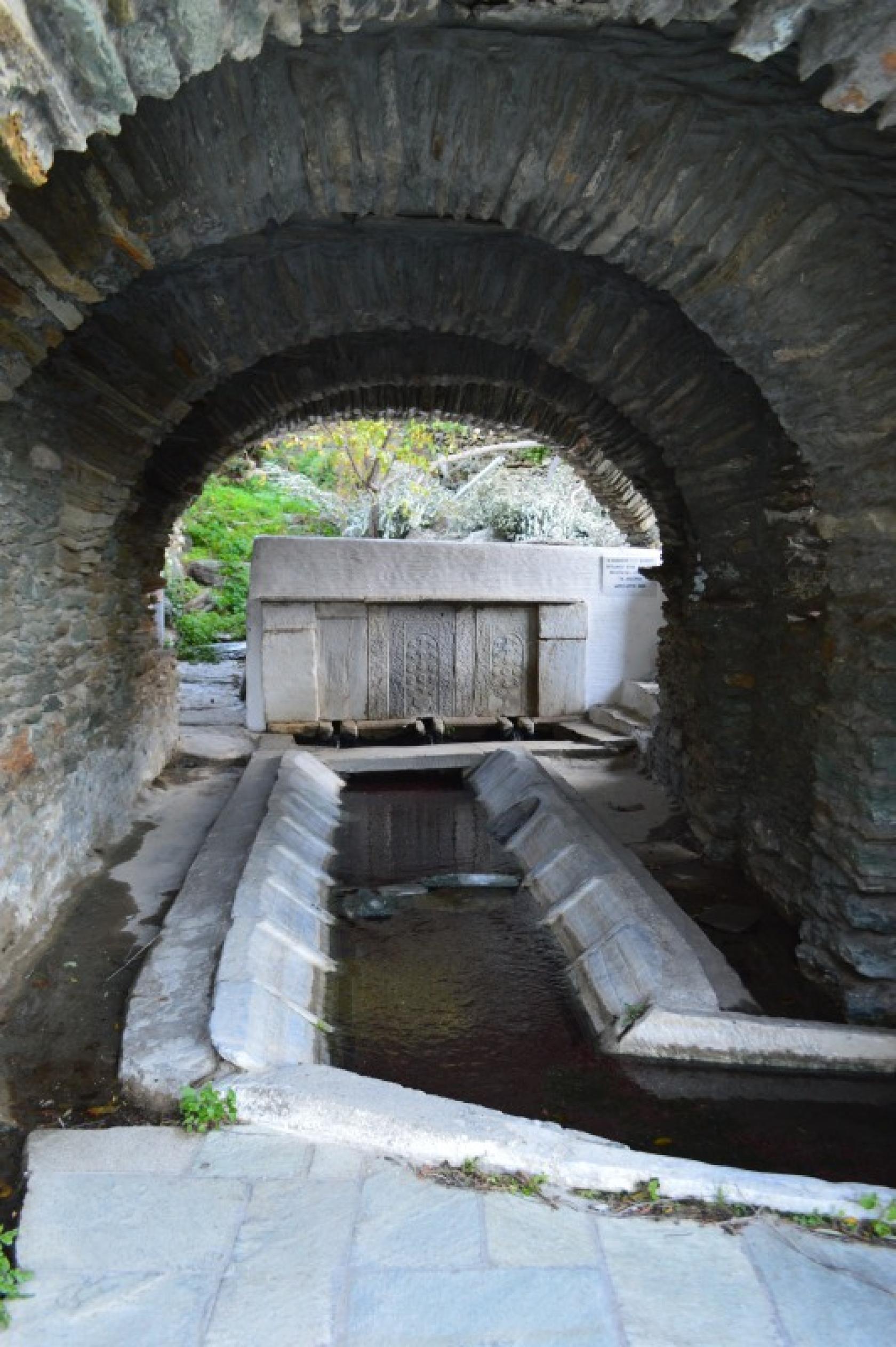
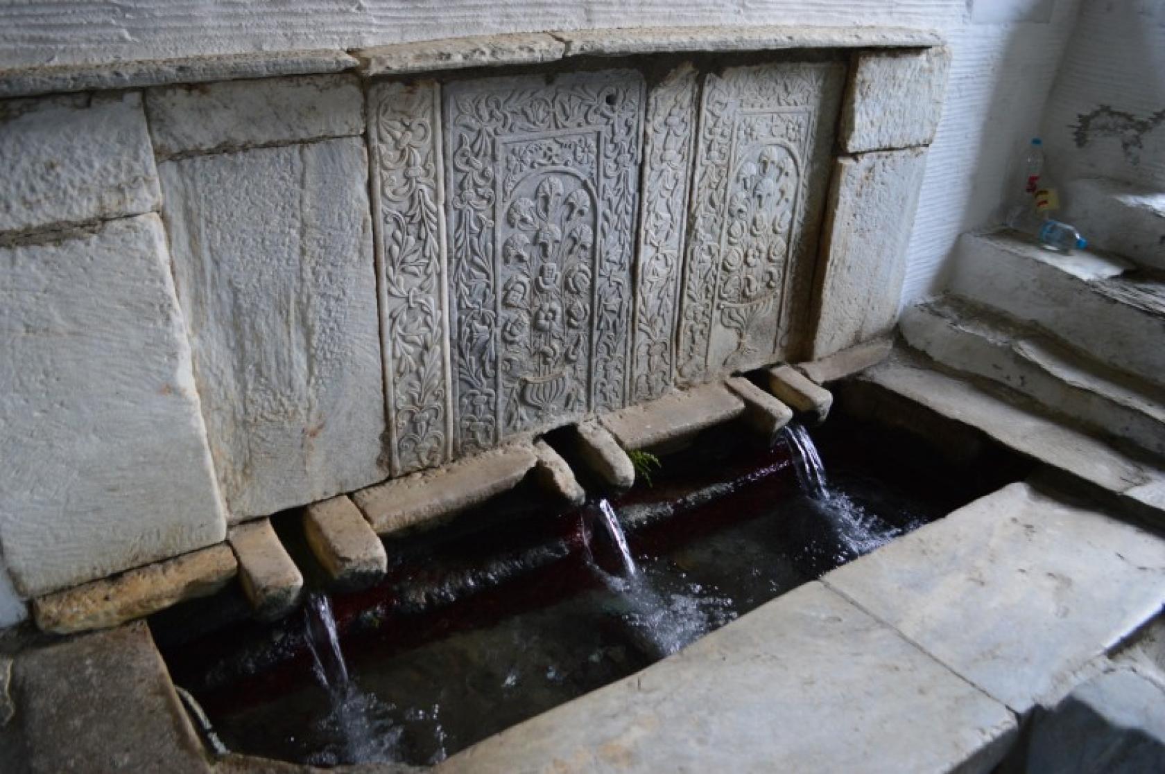
The Hiking trail 4 is a route with varying landscape from the southwest coastline towards the southern hinterlands traversing the important with respect to biodiversity mountain range of Rachi. The Tromarchiani Monastery, wonderful views, well crafted stone walls, unique stone paved paths, well maintained settlements, water mills and springs, the tower houses, the amazing skewed bridge and the springs of Aidonia, are just some of the many attractions.
Access to Hiking Trail 4
Road from Gavrio or Korthi to Tromarchion Monastery - main road of Aidonia to the sources.
Connection with other routes
With route No 4 from Ormos Korthiou to Lardia - Gianniseo - Mesa & Exo Vouni, and with route No 3 from Ormos Korthiou to Chora.
DISTANCE - DURATION
7 km / 2½ hours
ALTIDUDE DIFFERENCE - DIFFICULTY LEVEL
200 m
Moderate
STARTING - ENDING
Starting point: START point on the map
Ending point: END point on the map
TRANSPORT
Transfer to the starting point: By Car or by Taxi
Taxi market from Korthi: +30 2282062171
DRINKABLE WATER & FOOD
Water at the Tromarchion Monastery, also at the Niona & Aidonia villages.
Food at Ormos Korthiou.
ROUTE CONDITION
Open with a bit overgrown vegetation at parts
See the latest cleanups at www.androsroutes.gr

Texts - Photos - Maps: Andros Routes