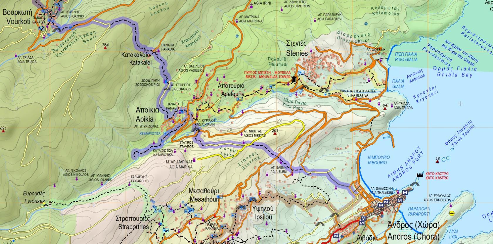
Hiking Trail 2 - 2a

![]()
![]()
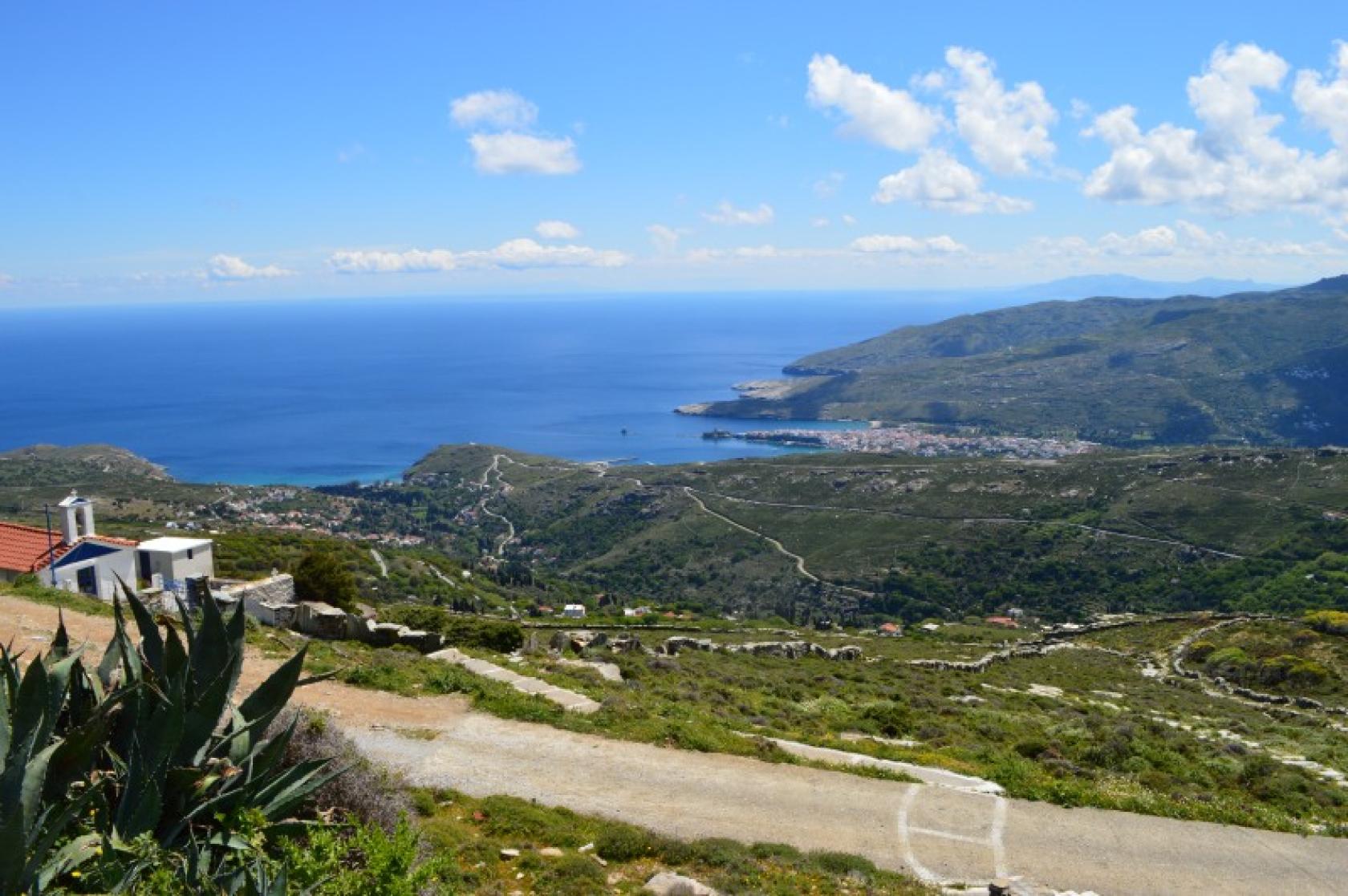
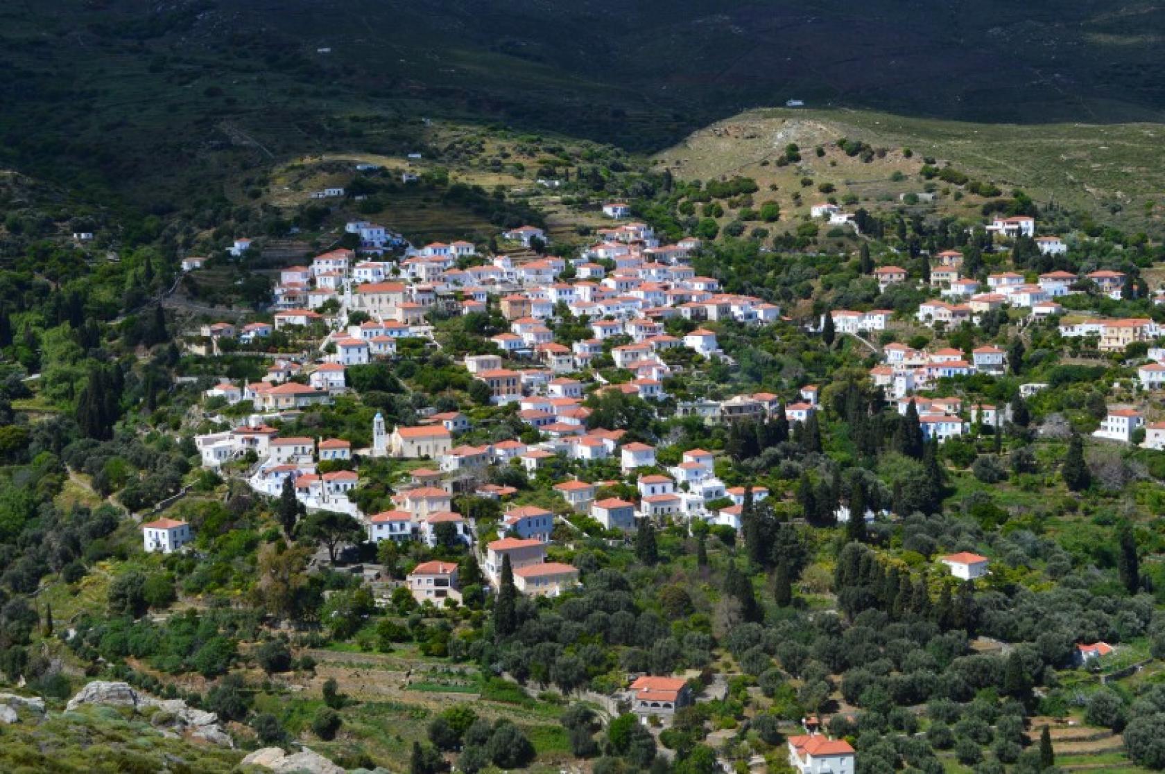
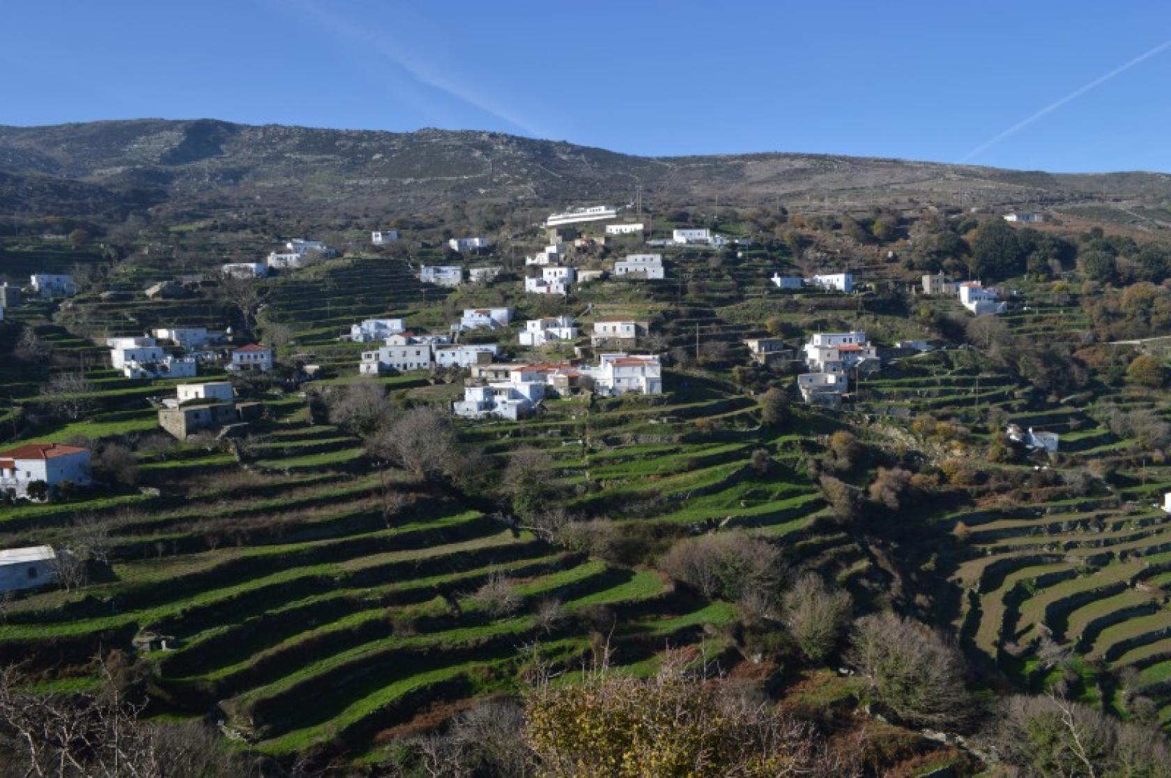
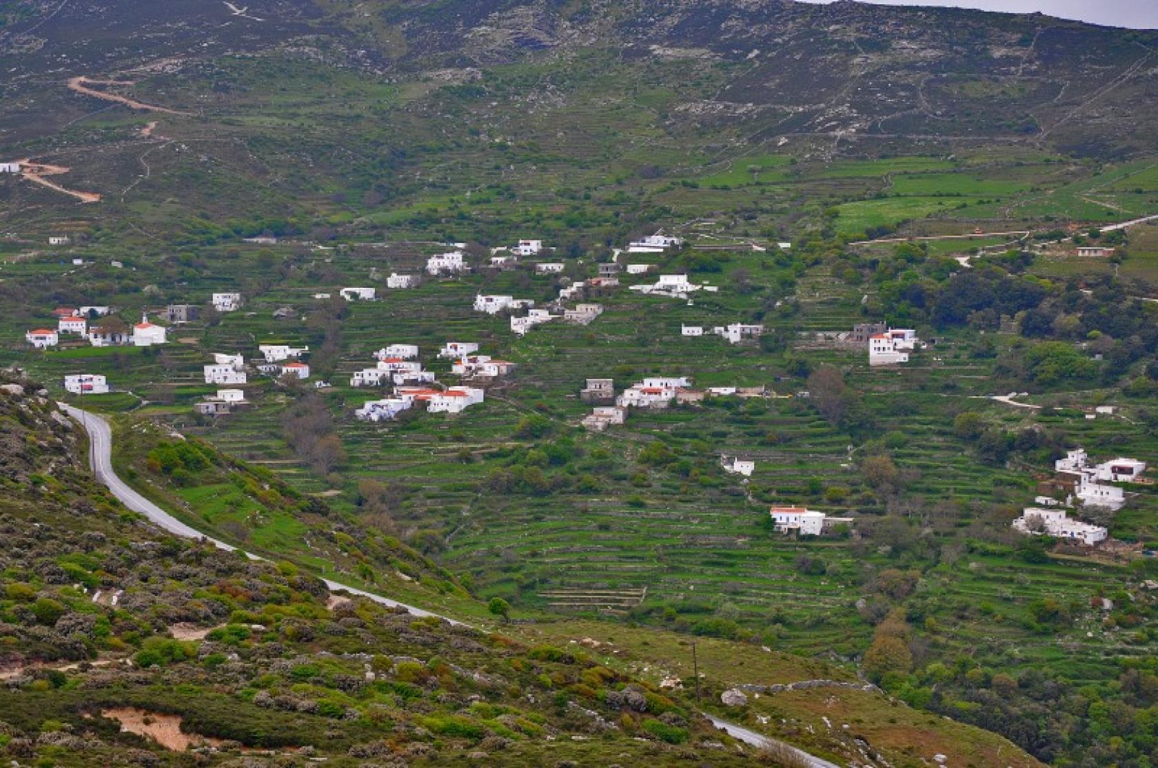
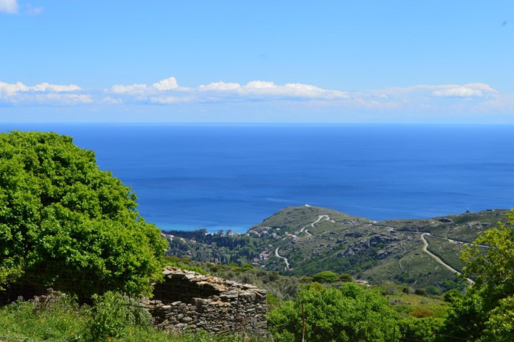
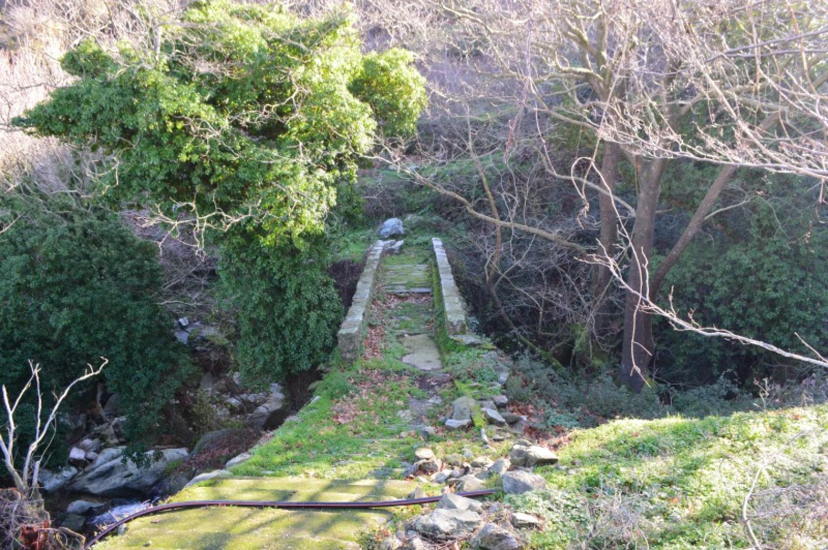
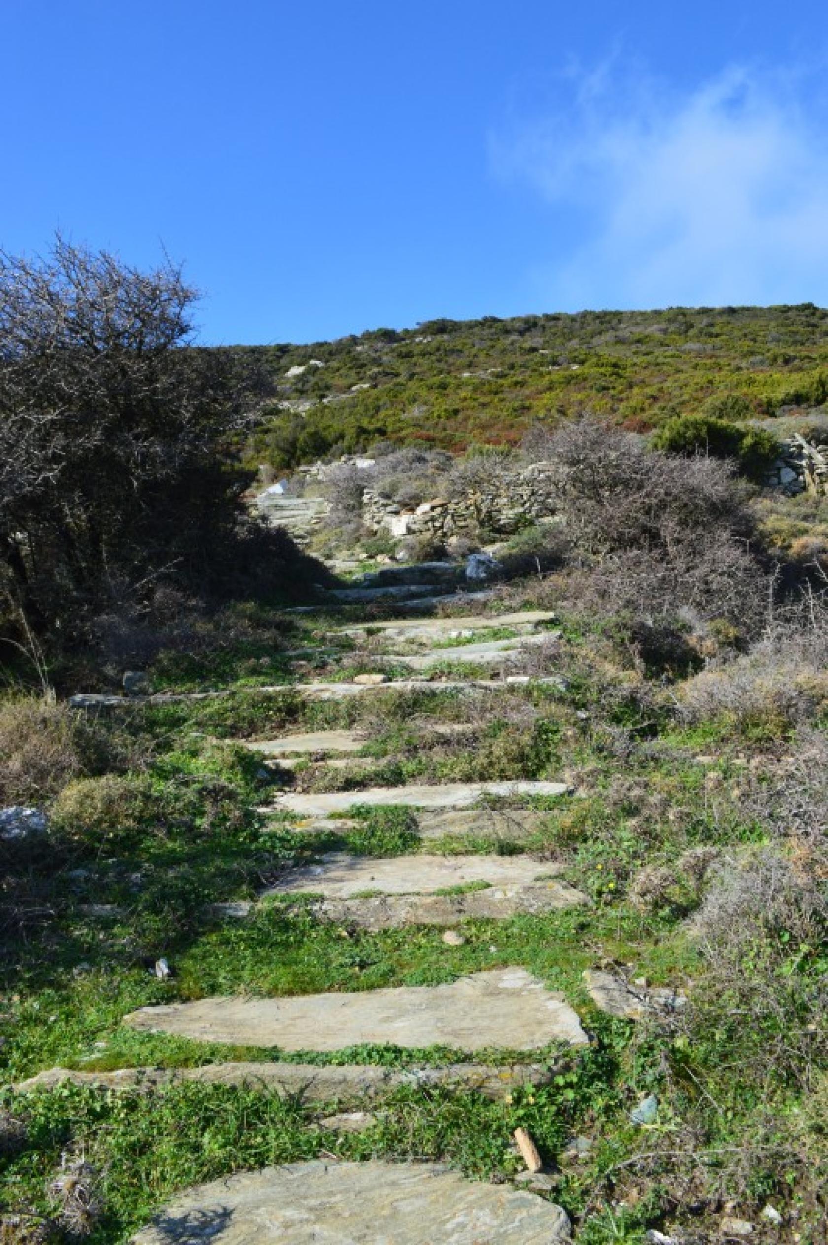
Chora - Apoikia - Katakalaioi - Vourkoti (With Pythara waterfalls detour)
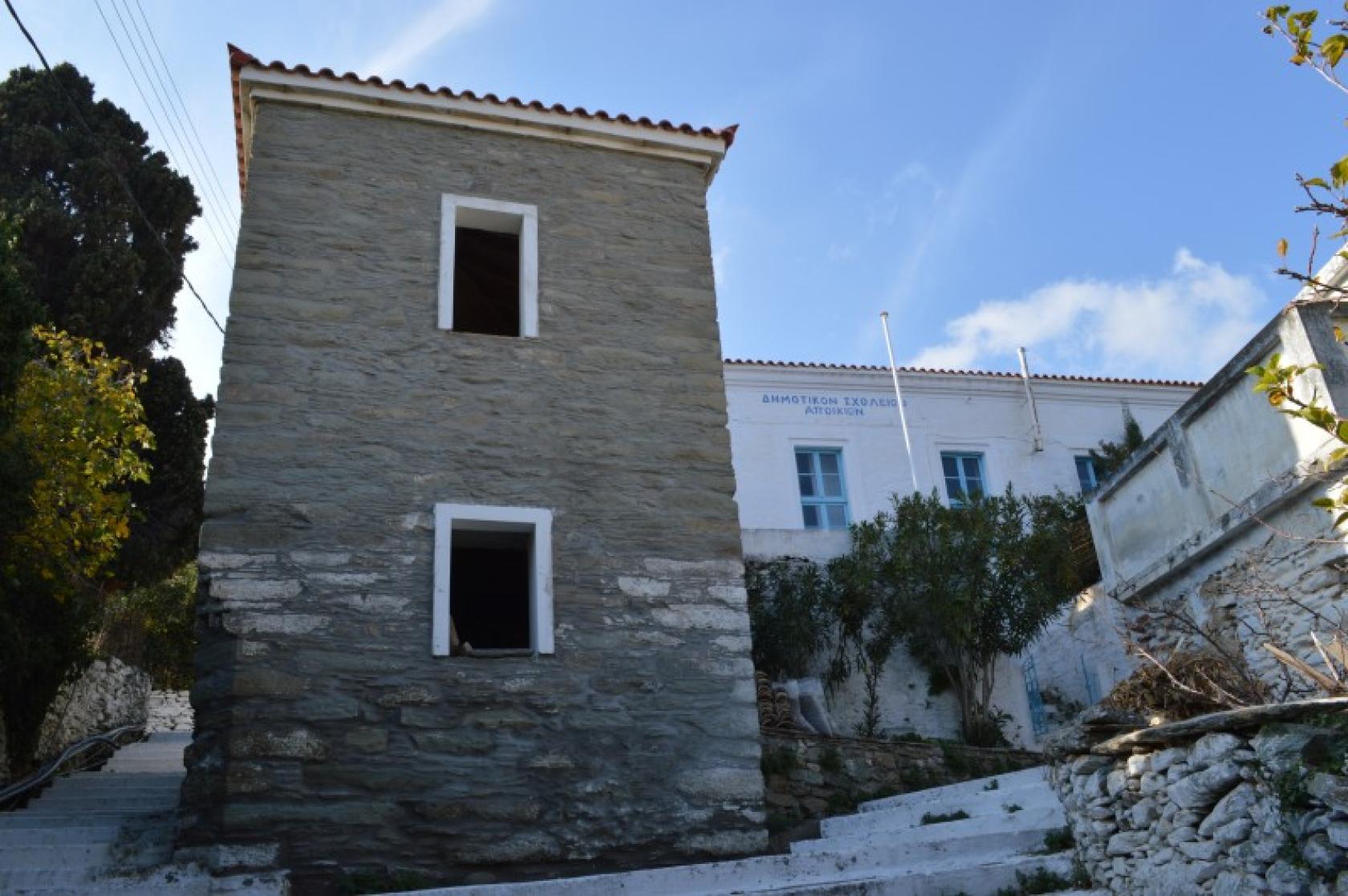
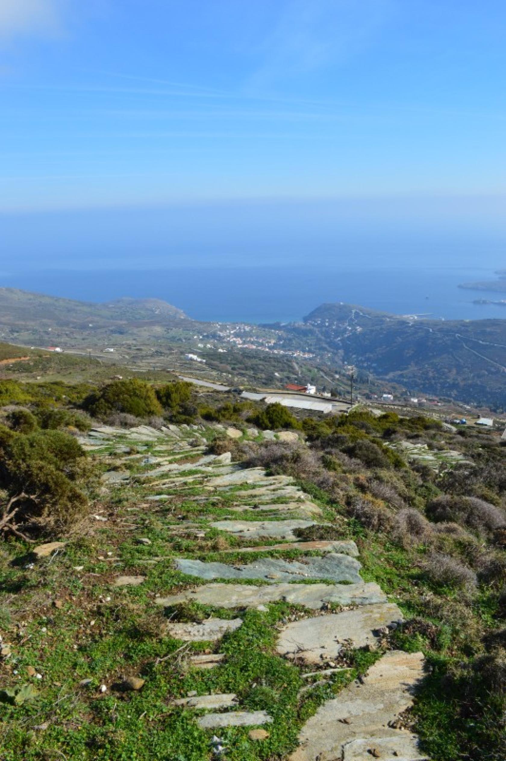
A typical route of Andros with rich vegetation and terrain connects Apoikia with the most remote rural mountain villages of Andros, Katakalaioi and Vourkoti. Beautiful cobbled parts, water abundance, magnificent views and impressive changes of scenery.
Access to Hiking Trail 2 - 2a
Tarmac road to the port Neimporio of Chora, in the extend of the vertical road along the river of Lourion (see sign posting) or the main tarmac road in Vourkoti under the restaurant.
Connections with other routes
With No 8 to Stenies and Gialia Beach, with No 12 to Profitis Ilias - Arni, with No 6 to Agios Nikolaos Monastery & Achla Beach.
DISTANCE - DURATION
6.8 km / 2½ hours
7.8 km / 3 hours (2a detour to Pytharas waterfalls)
MAX ALTIDUDE DIFFERENCE - DIFFICULTY LEVEL
419 m
Moderate
ASCENT - DESCENT
Ascent: 419 m
STARTING - ENDING
Starting point: START point on the map
Ending point: END point on the map
TRANSPORT
Transfer to the starting point: By Car or by Taxi
Taxi market from Chora: +30 2282022171
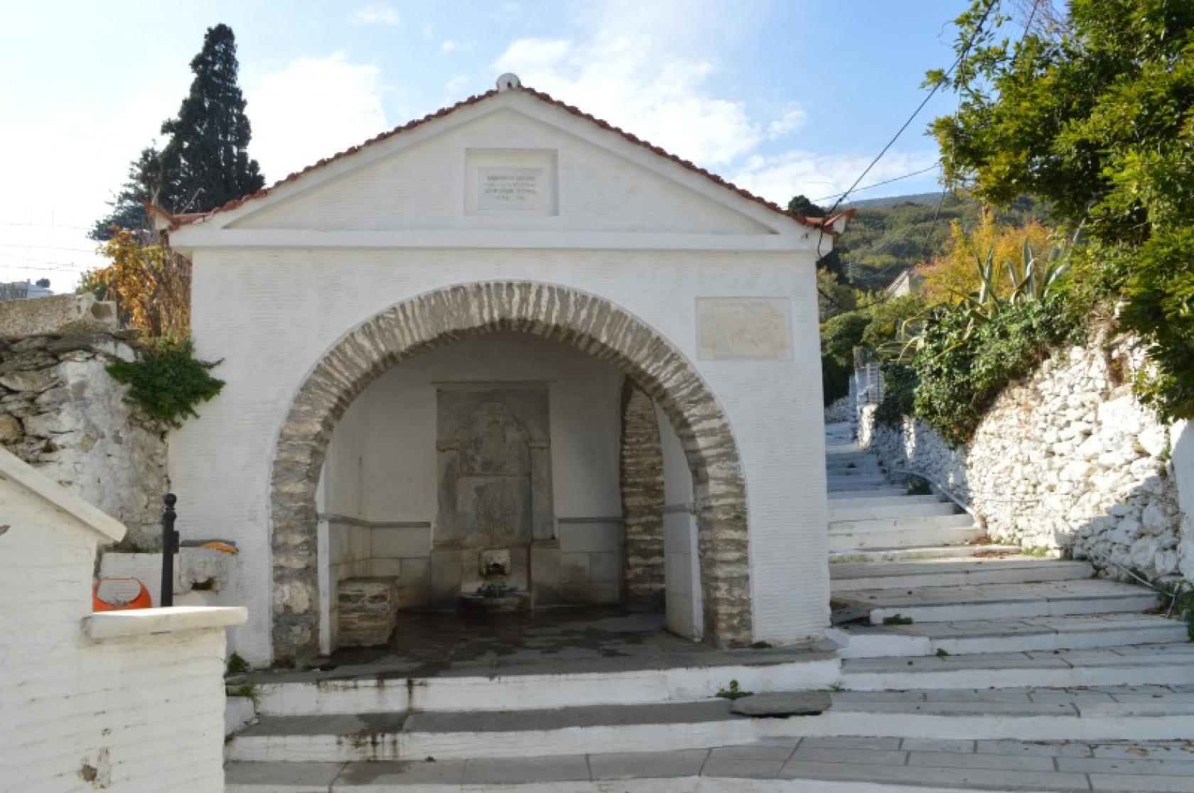
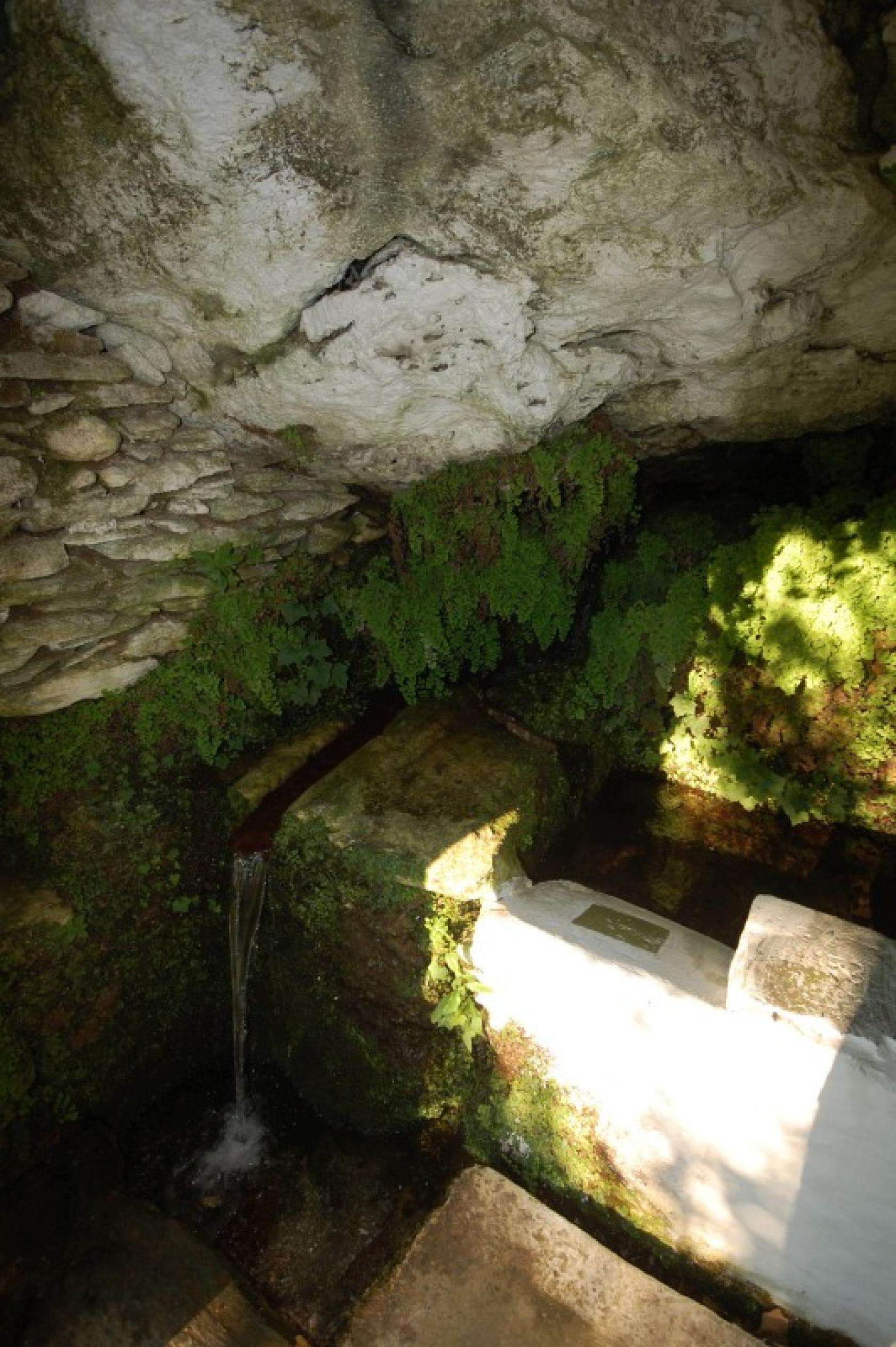
DRINKABLE WATER-FOOD
Water in Apoikia, Katakalaious, Vourkoti. Food infrustructure in Apikia and Vourkoti (during summer period only)
ROUTE CONDITION
Open & with full marking
See the latest cleanups at www.androsroutes.gr
ACCOMMODATION & FOOD
Accommodation near: Chora, Apoikia
Restaurants near: Chora

Texts - Photos - Maps: Andros Routes