Hiking Trail 12

![]()
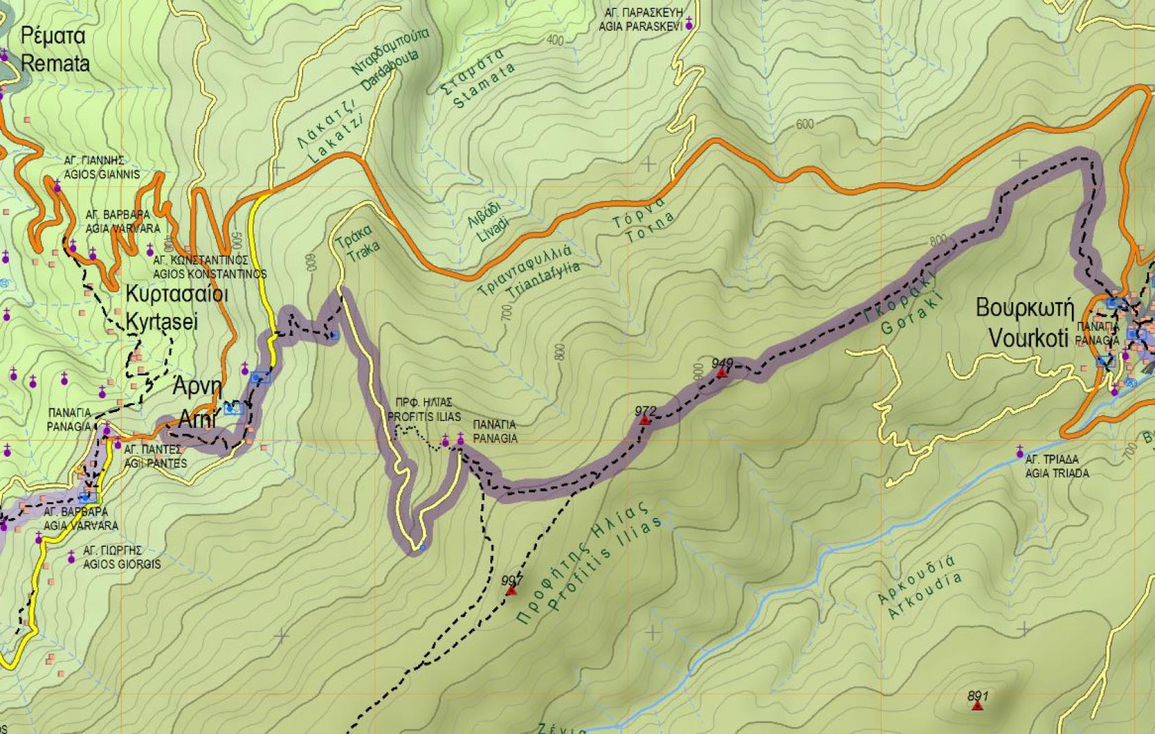
Vourkoti - Kouvara - Prophet Elias - Arni
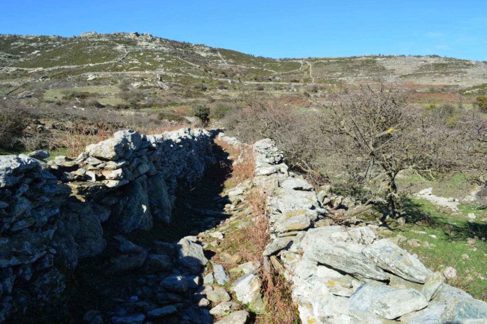
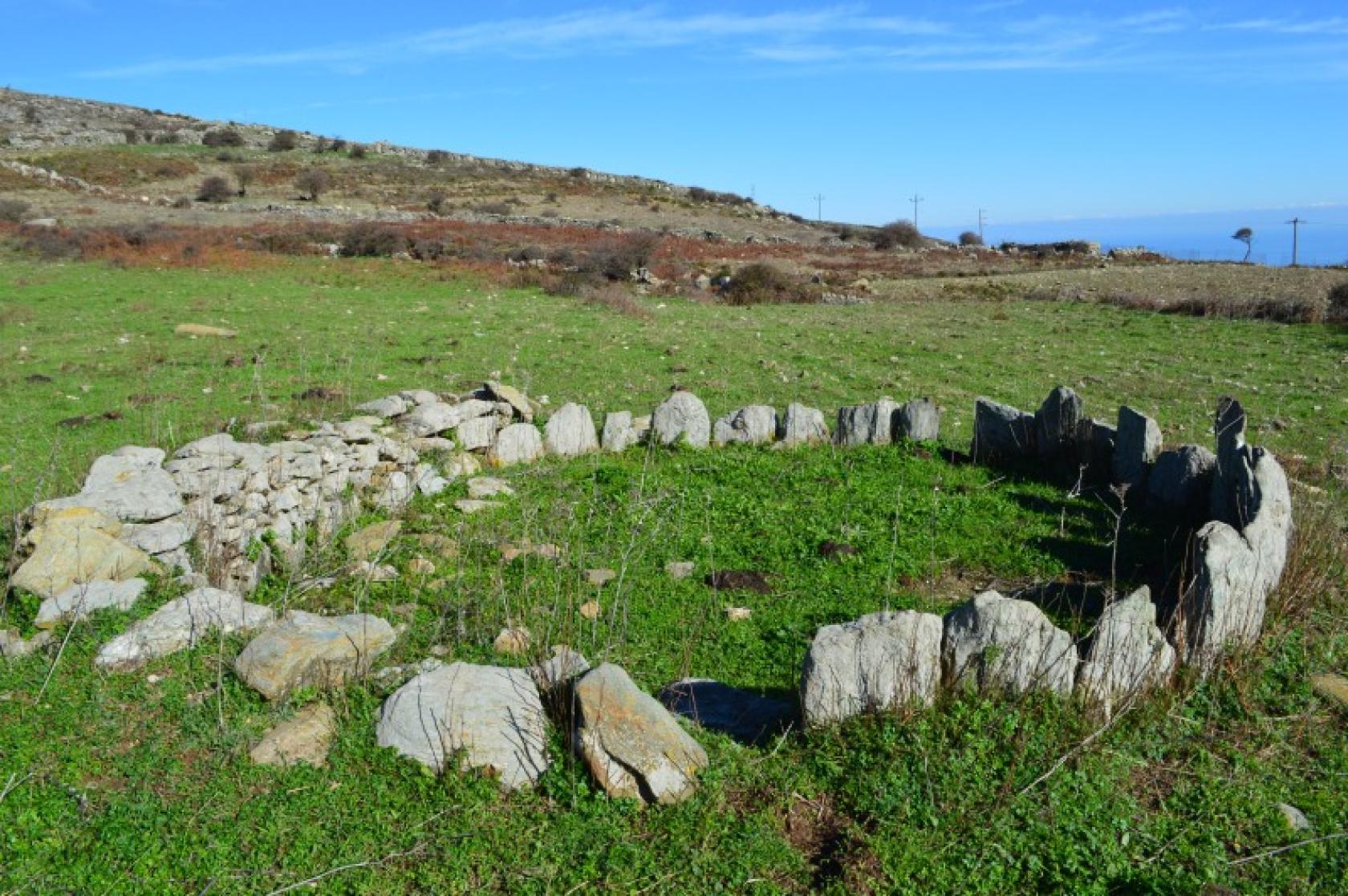
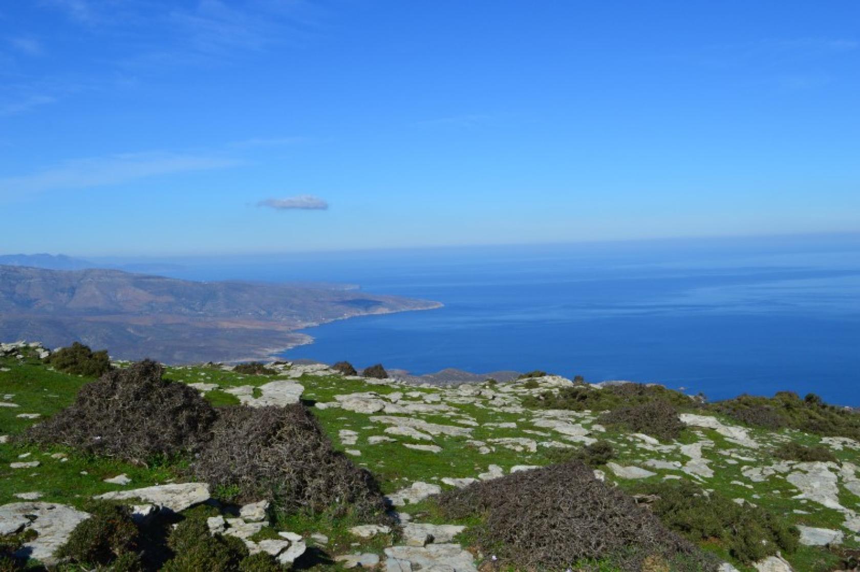
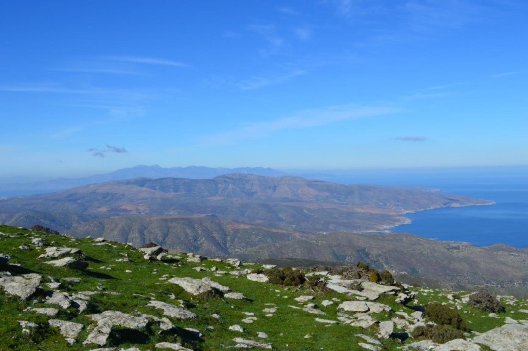
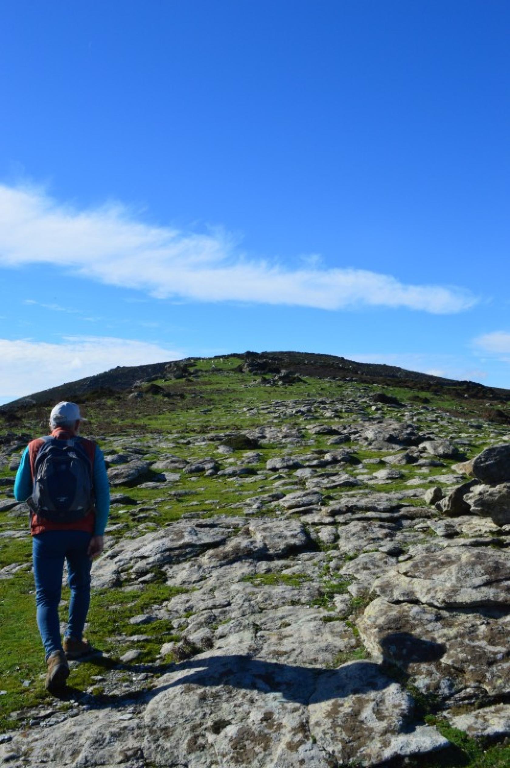
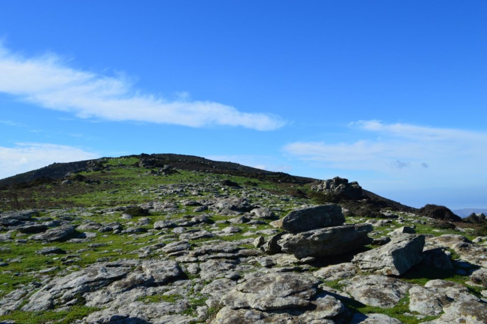
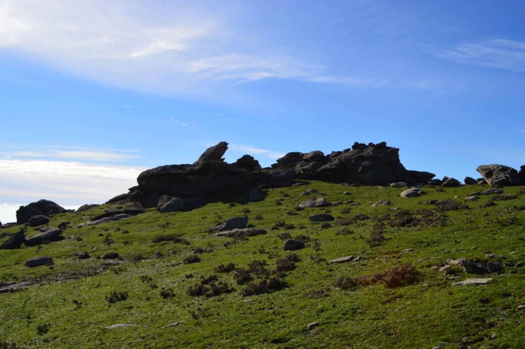
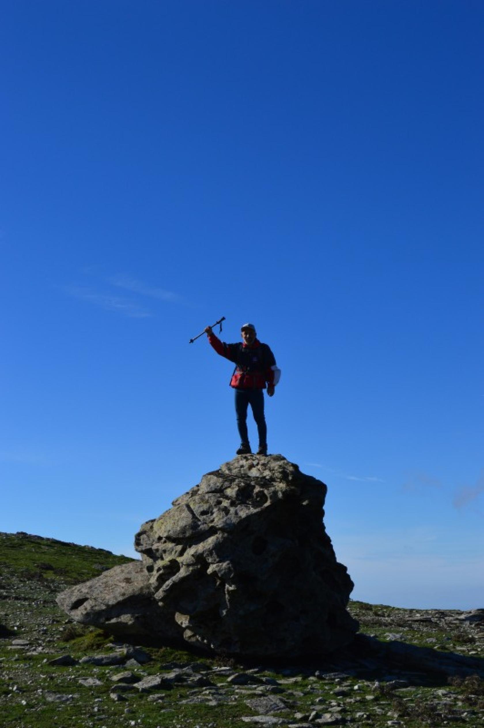
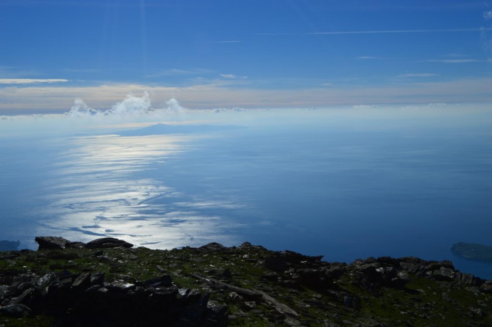
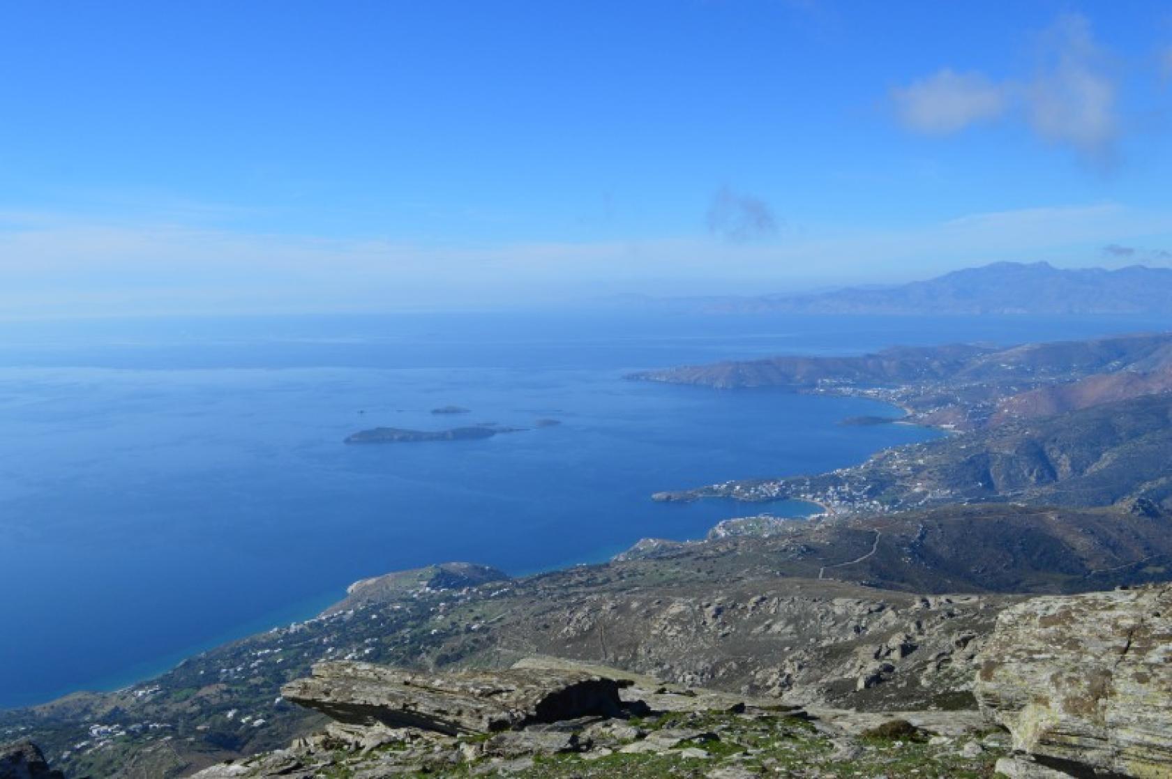
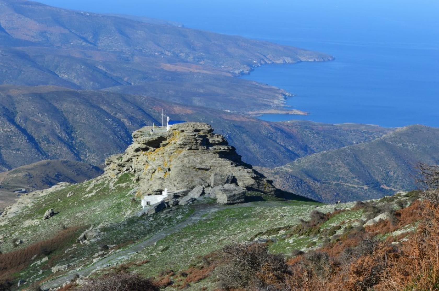
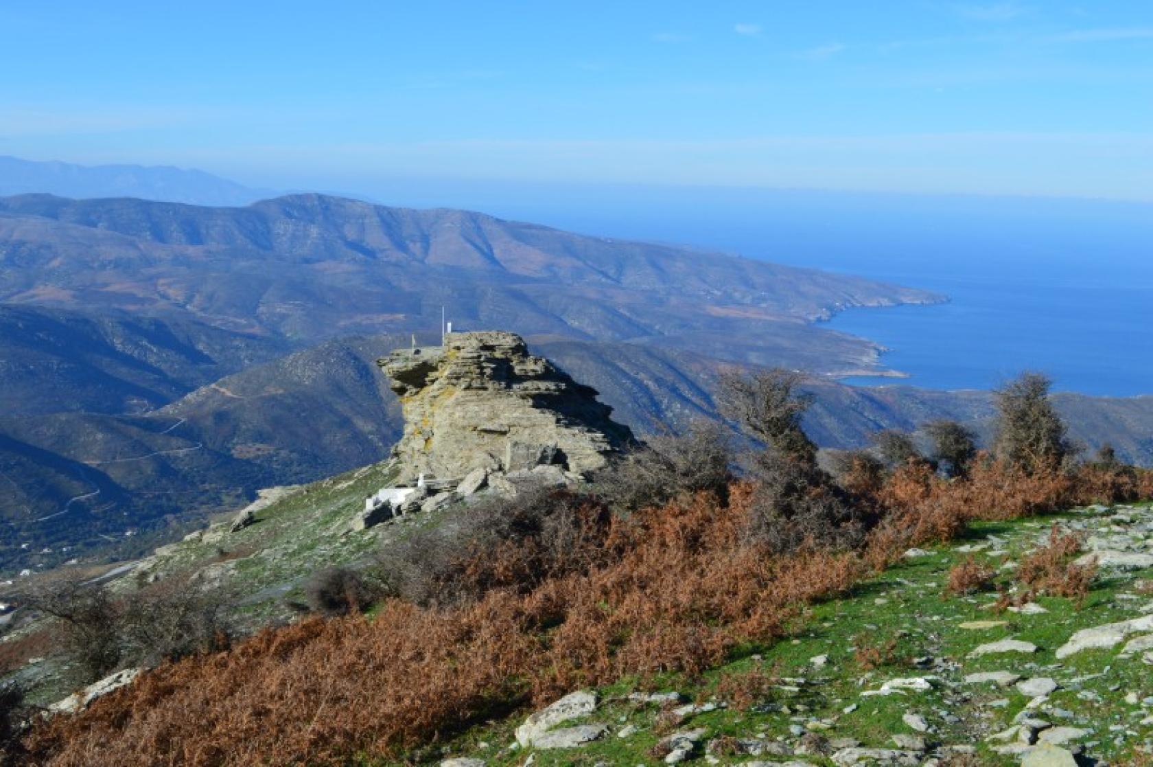
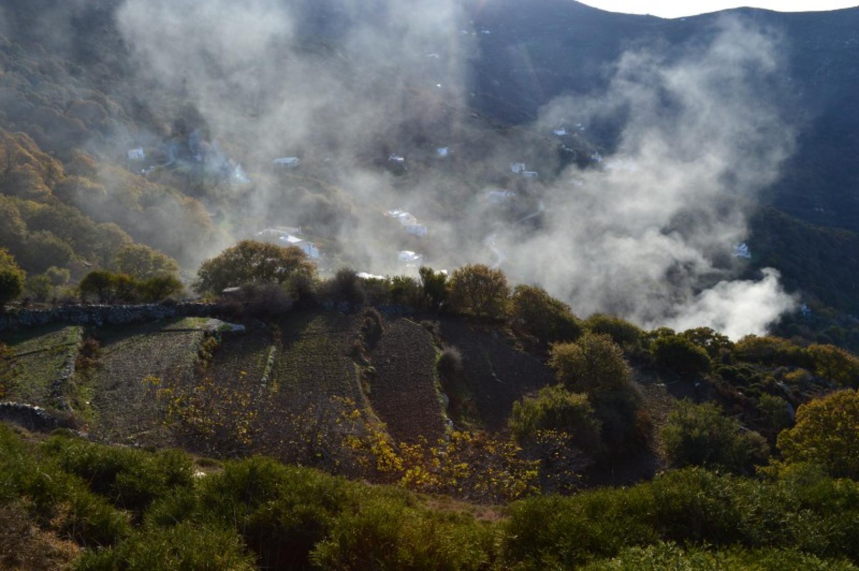
One of the longest and most enchanting routes of Andros is the Hiking trail 12, ascending on the highest mountain range Petalo and descending towards the green valley of Arni. Magnificent views from the mountain ridge impressively lush vegetation, picturesque chapels and water abundance in the most forested valley of Andros, all areas of invaluable biodiversity.
Access to Hiking Trail 12
You can achieve access from the road to Vourkoti (from Chora or Batsi) or from Arni village from the church of Panagia.
Connection with other routes
Connection with route No 2 to Vourkoti - Katakalaious - Apoikia - Chora, with No11 from Arni - Katakoilo - Batsi, witn no marking route to Agious Saranta and Ano Aprovato.
DISTANCE - DURATION
6,9 km / 2½ hours
MAX ALTIDUDE DIFFERENCE - DIFFICULTY LEVEL
630 m
Moderate - Difficult (A small part from the mountain ridge to Prophet Elias)
ASCENT - DESCENT
Ascent: 630 m
STARTING - ENDING
Starting point: START point on the map
Ending point: END point on the map
TRANSPORT
Transfer to the starting point: By Car or by Taxi
DRINKABLE WATER & FOOD
Water at Vourkoti and Arni.
Food at Vourkoti during summer time only.
ROUTE CONDITION
Open with a bit overgrown vegetation at parts (Proph. Elias - Arni)
See the latest cleanups at www.androsroutes.gr

Texts - Photos - Maps: Andros Routes