Hiking Trail 11a

![]()
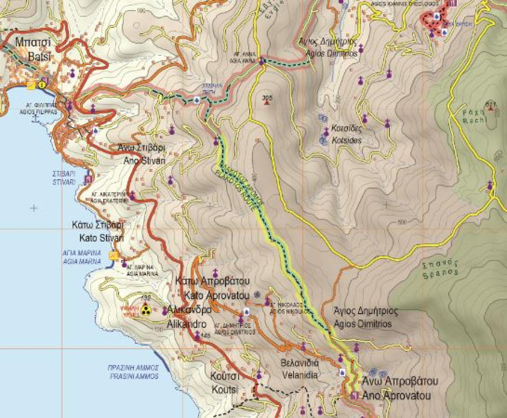
Batsi - Aprovato
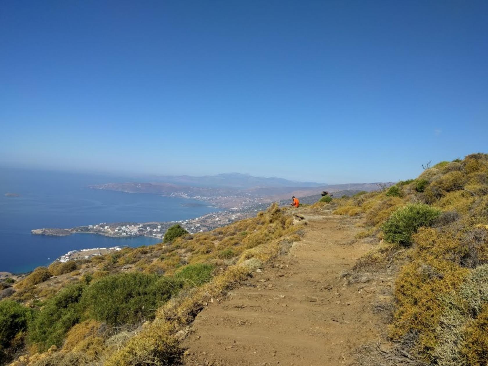
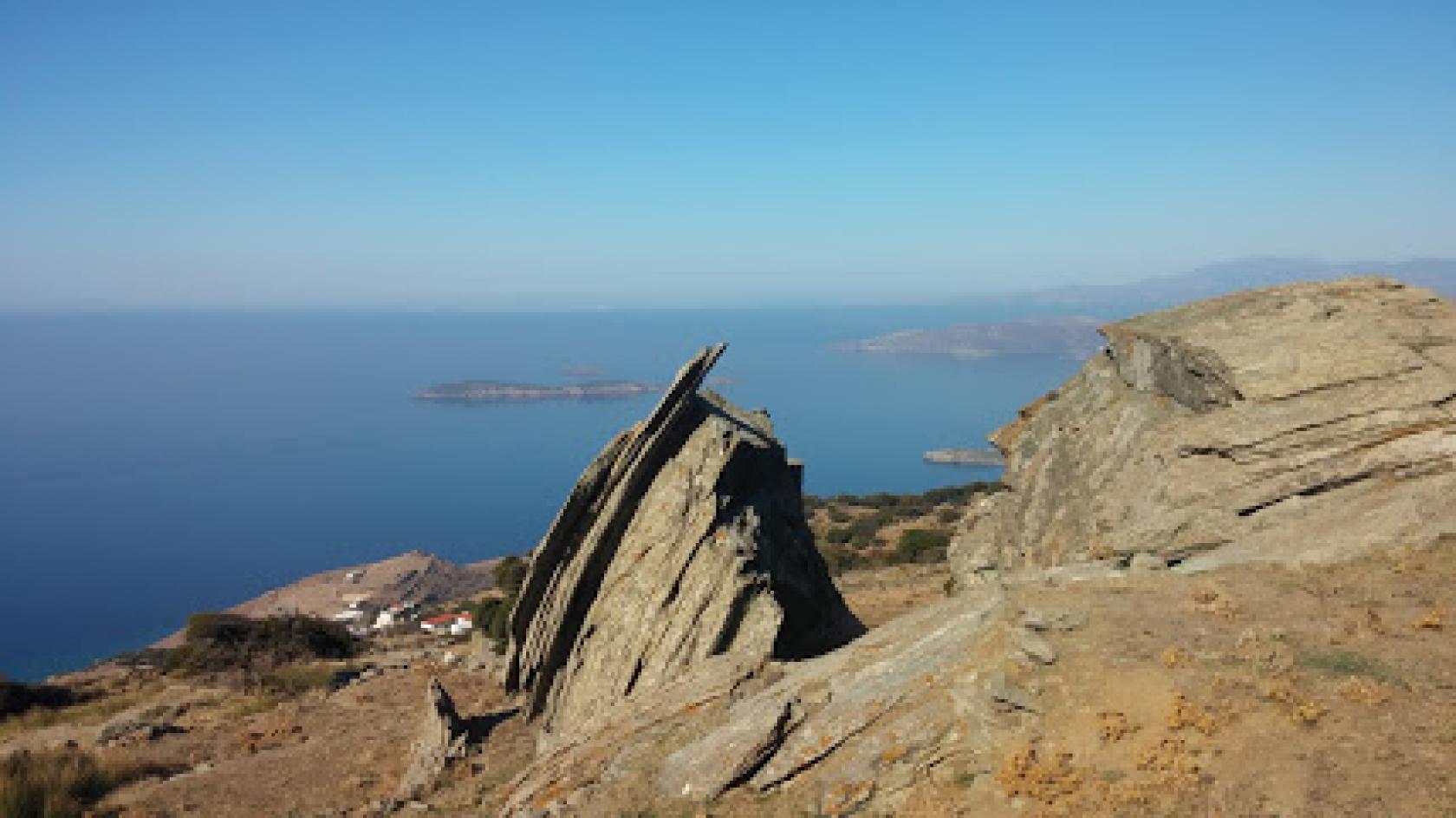
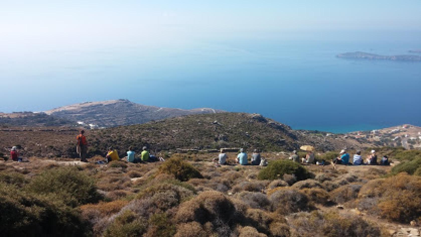
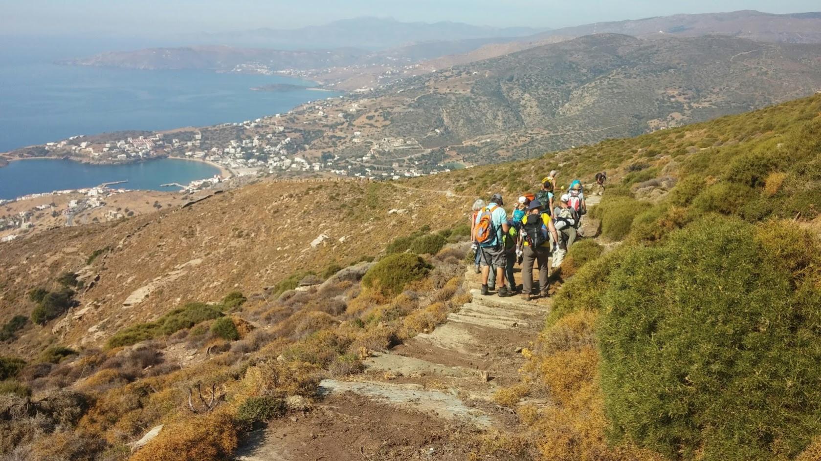
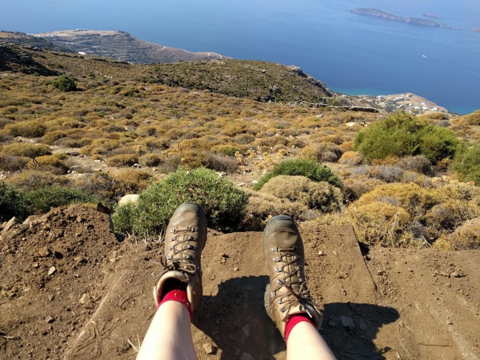
A lovely route connecting routes No.11 and No.9 and the bay of Batsi with the village of Aprovatou. Magnificent cobbled parts, a rich agricultural landscape and breathtaking views of the west coastline while crossing the slopes of the central mountain range of Andros.
DISTANCE - DURATION
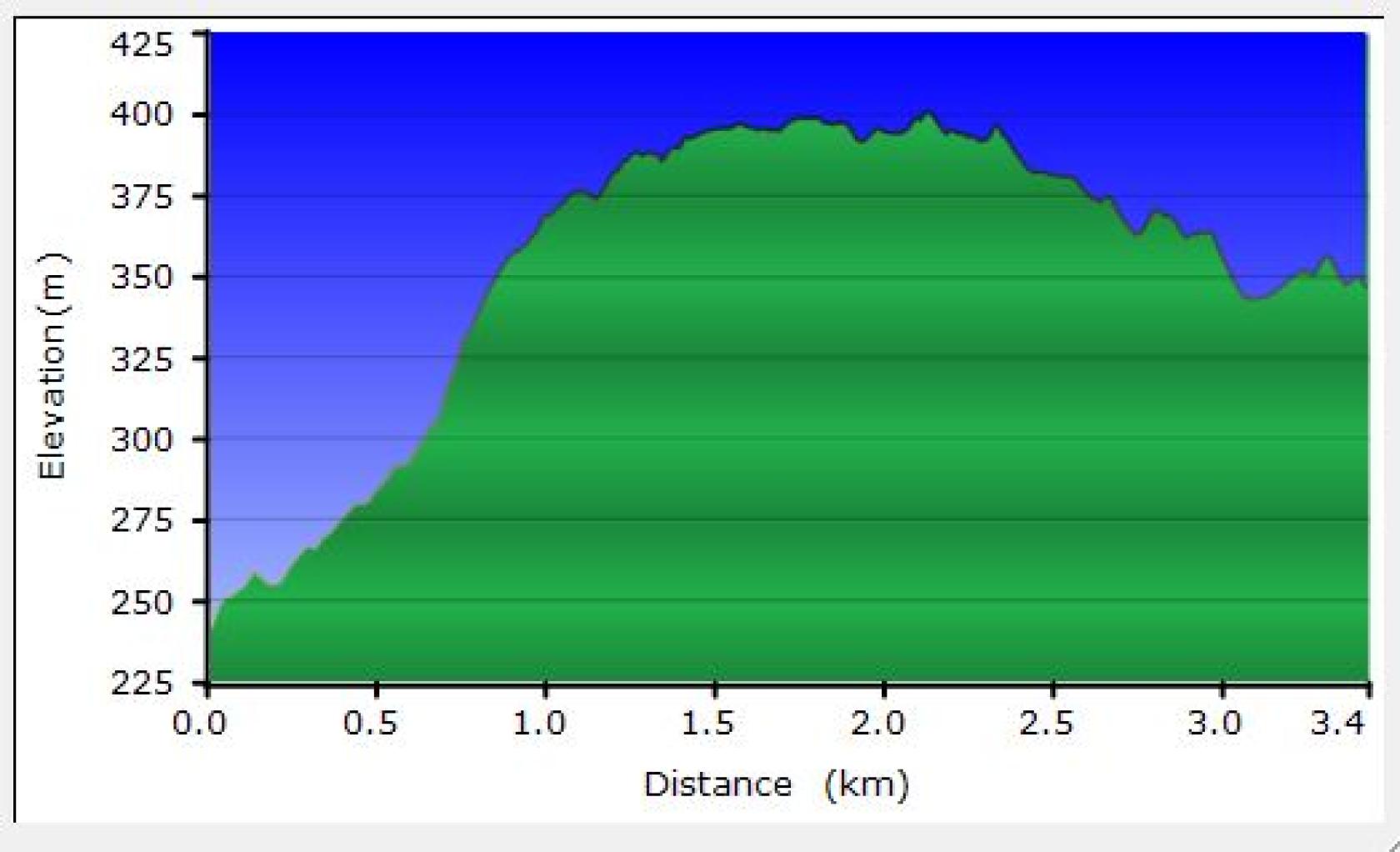
3.4 km / 1½ hour
Starting in Batsi will cost you 30 min extra hiking time.
MAX ALTIDUDE DIFFERENCE - DIFFICULTY LEVEL
min 241 m/ max 401 m diff/110 m
Medium difficulty with some steep parts
ASCENT - DESCENT
Ascent: 882 m
Descent: 442 m
STARTING - ENDING
Starting point: START point on the map - On Route 11 after 1,7km from Batsi towards Katakoilos, after the spring “Chamili Pigi”
Ending point: END point on the map - At Ano Aprovato across the restaurant Aegean Balcony restaurant
TRANSPORT
Transfer to the starting point: By Car or by Taxi
Taxi market from Batsi: +30 2282041081
DRINKABLE WATER
At Batsi, at “Chamili Pigi” close to the start of the route & at Ano Aprovato.
ROUTE CONDITION
Open & with full marking
See the latest cleanups at www.androsroutes.gr
ACCOMMODATION & FOOD
Accommodation near: Batsi, Aprovato
Restaurants near: At Batsi & Aprovatou (open every day from mid June to end of August) and Friday evening, Saturday and Sunday all day all year round. Better check it out before going

Texts - Photos - Maps: Andros Routes