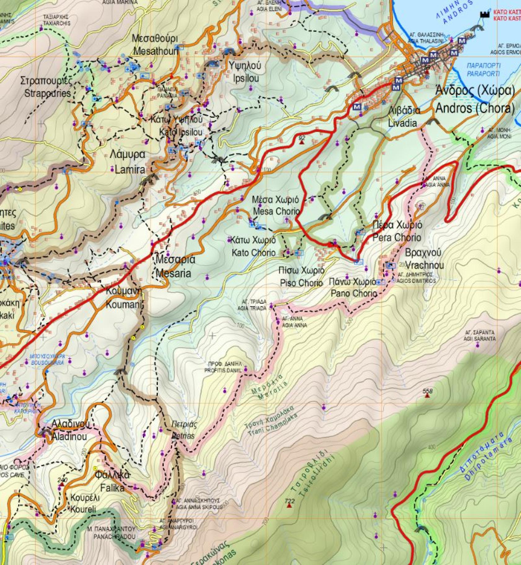
Hiking Trail 1

![]()
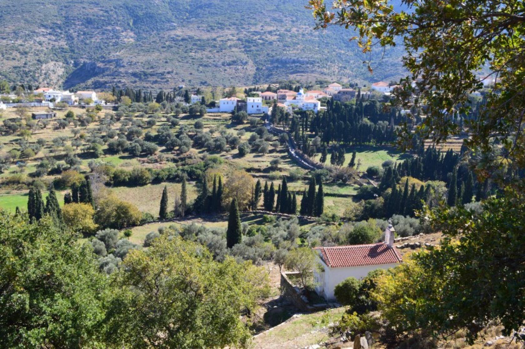
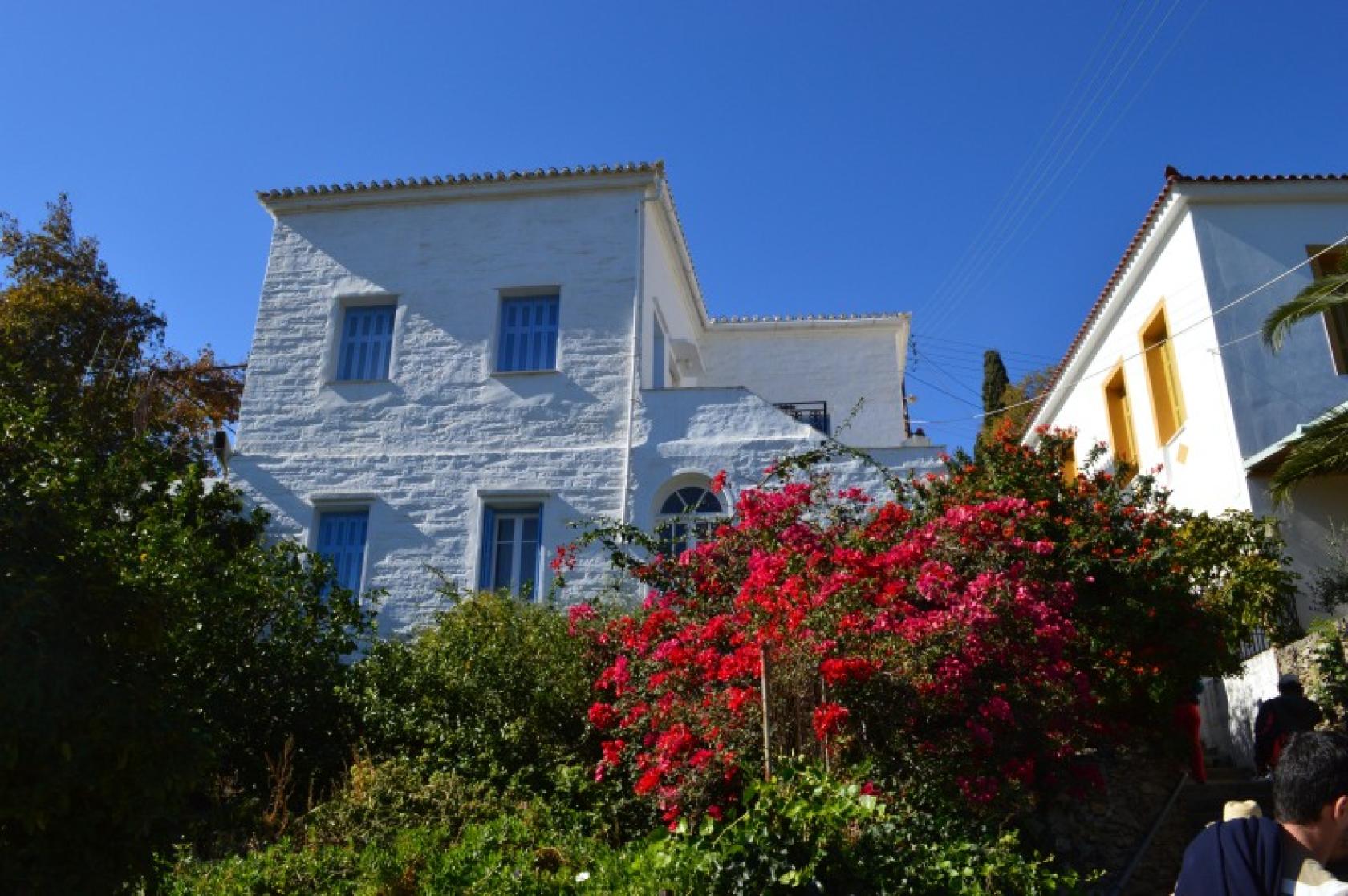
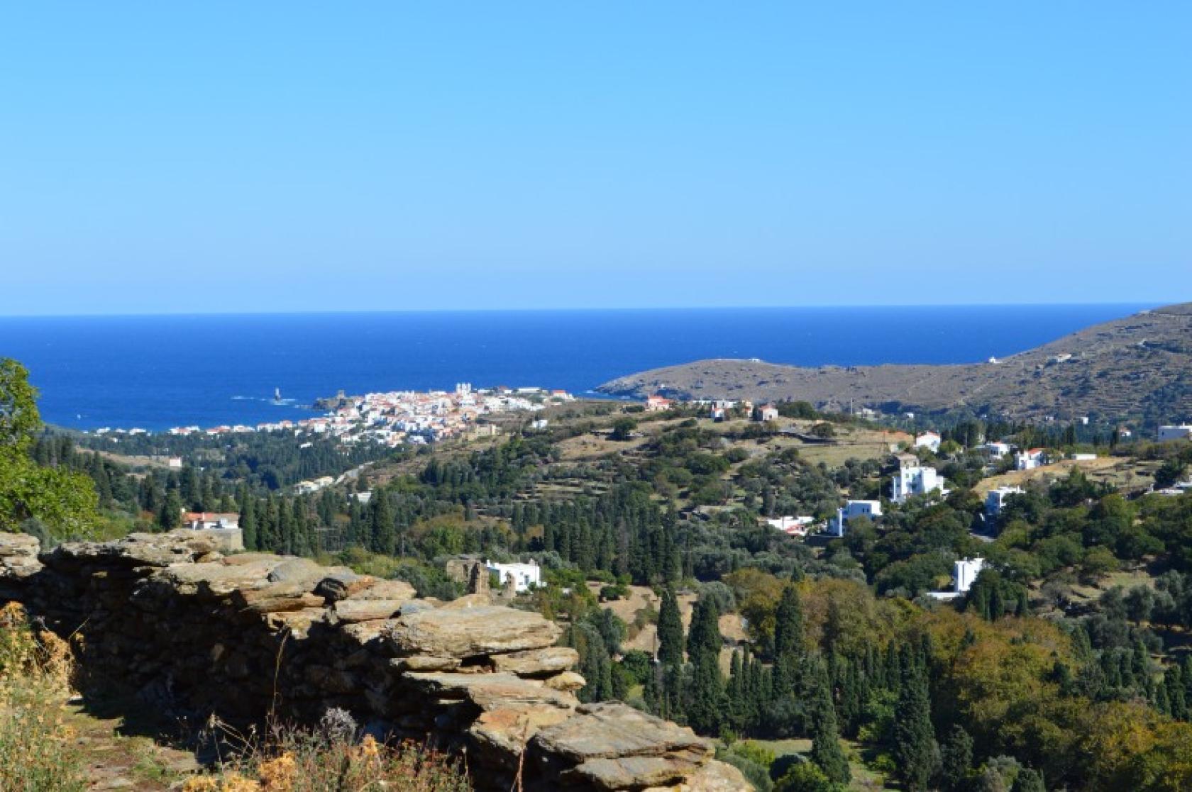
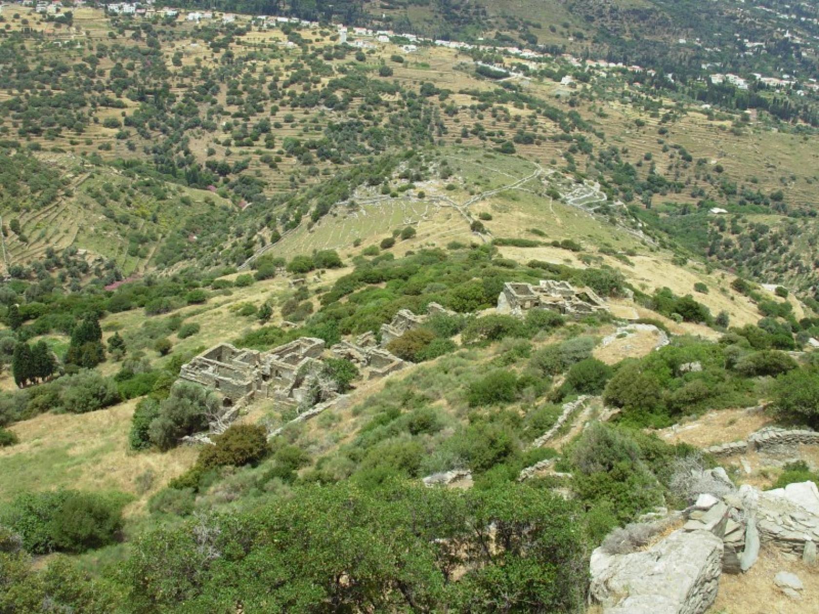
Chora - Ypsilou - Mesathouri - Lamira - Menites - Messaria - Panachrantou Monastery
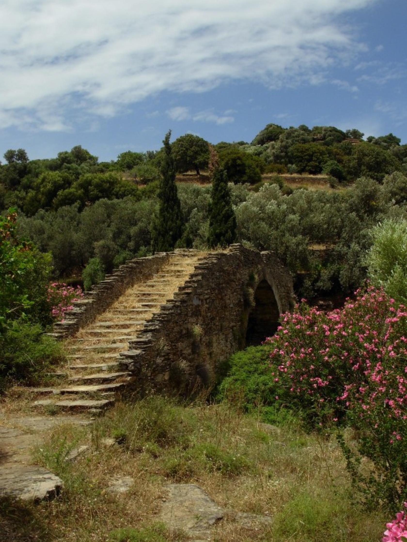
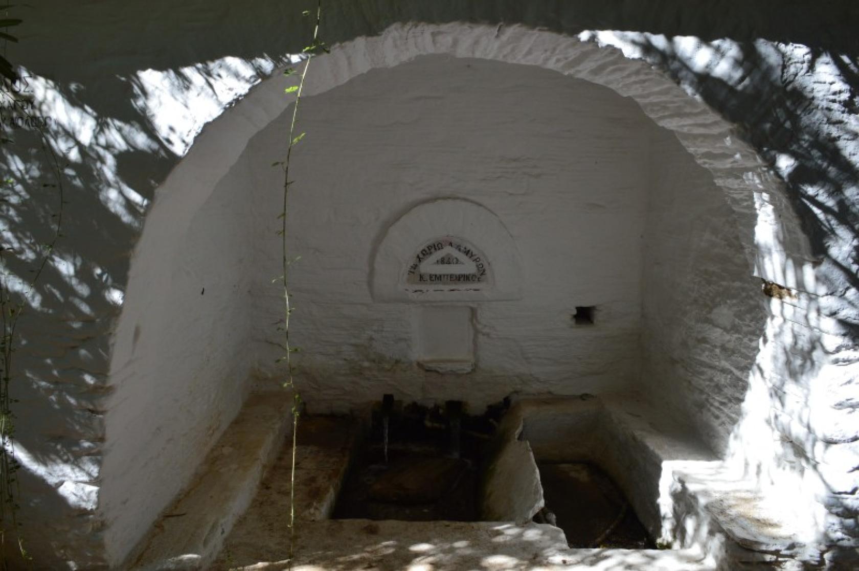
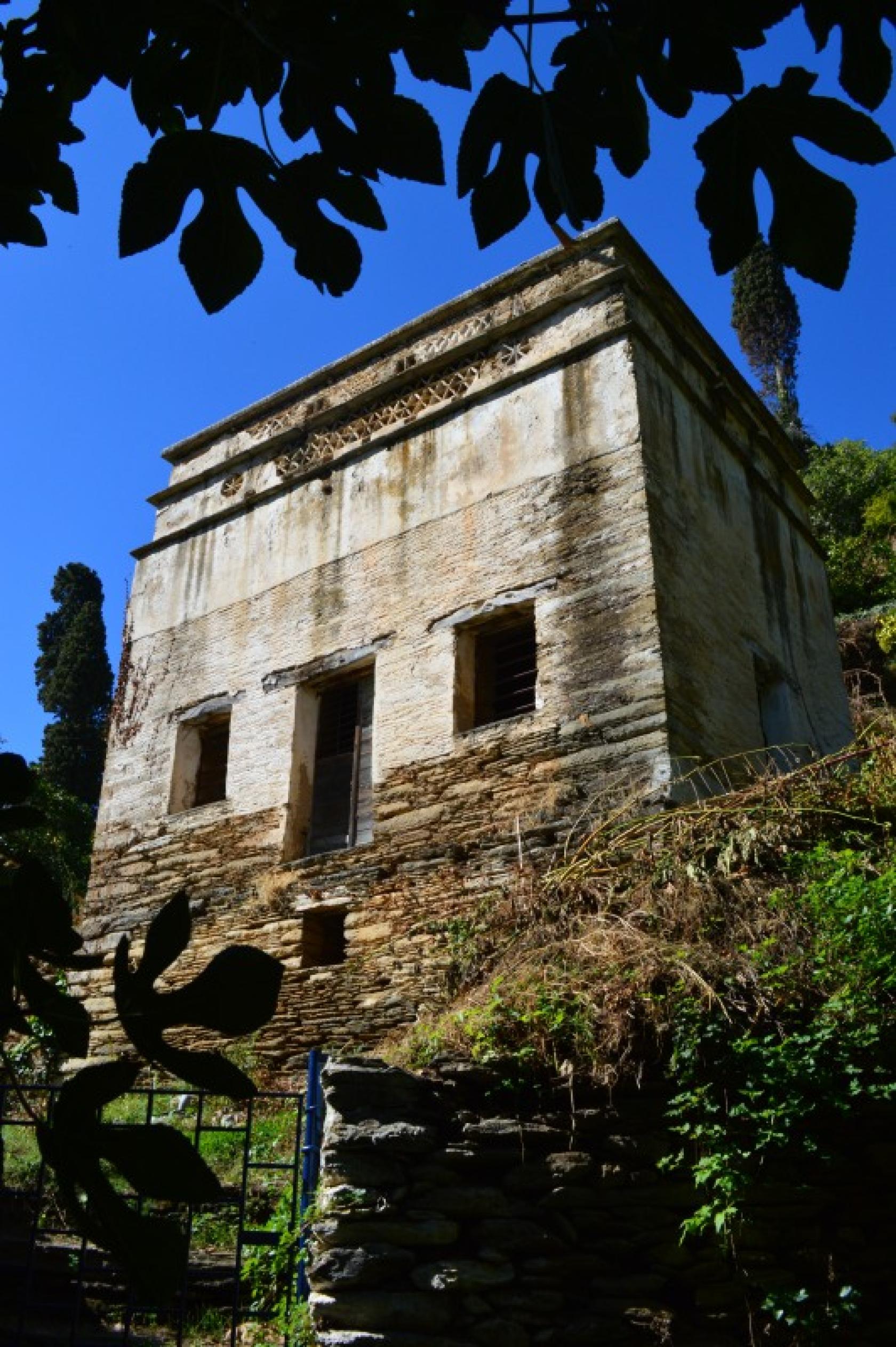
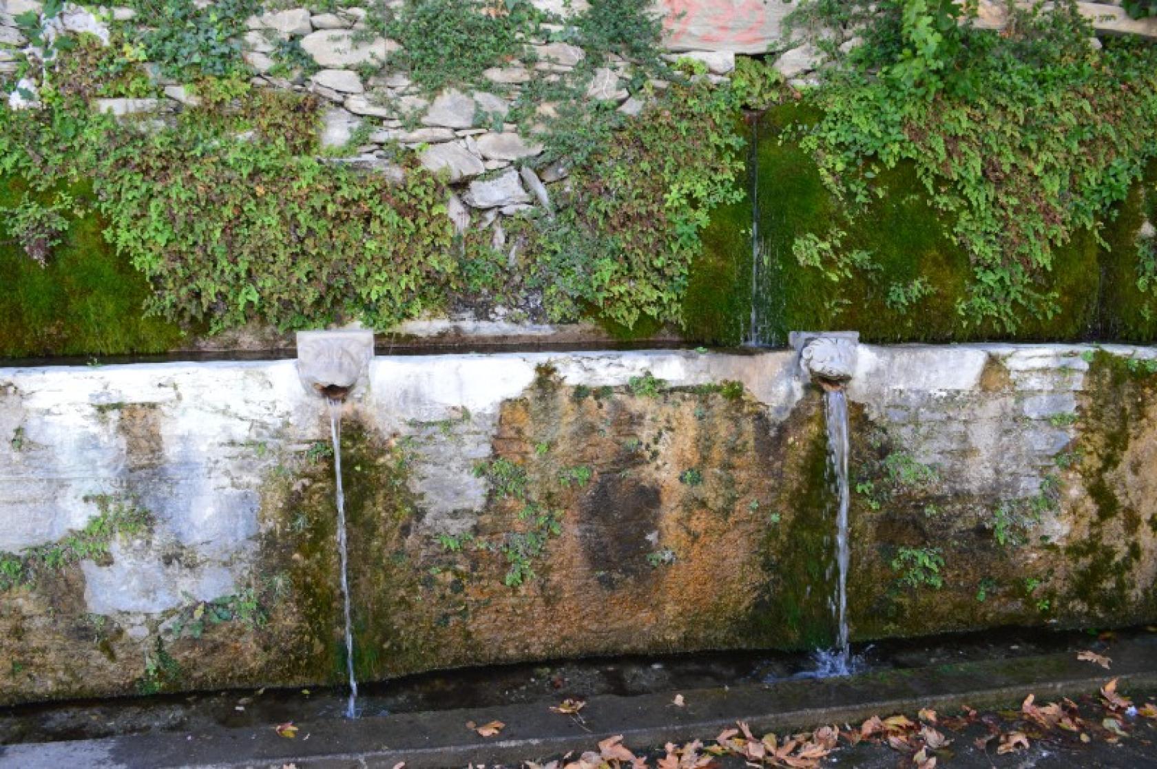
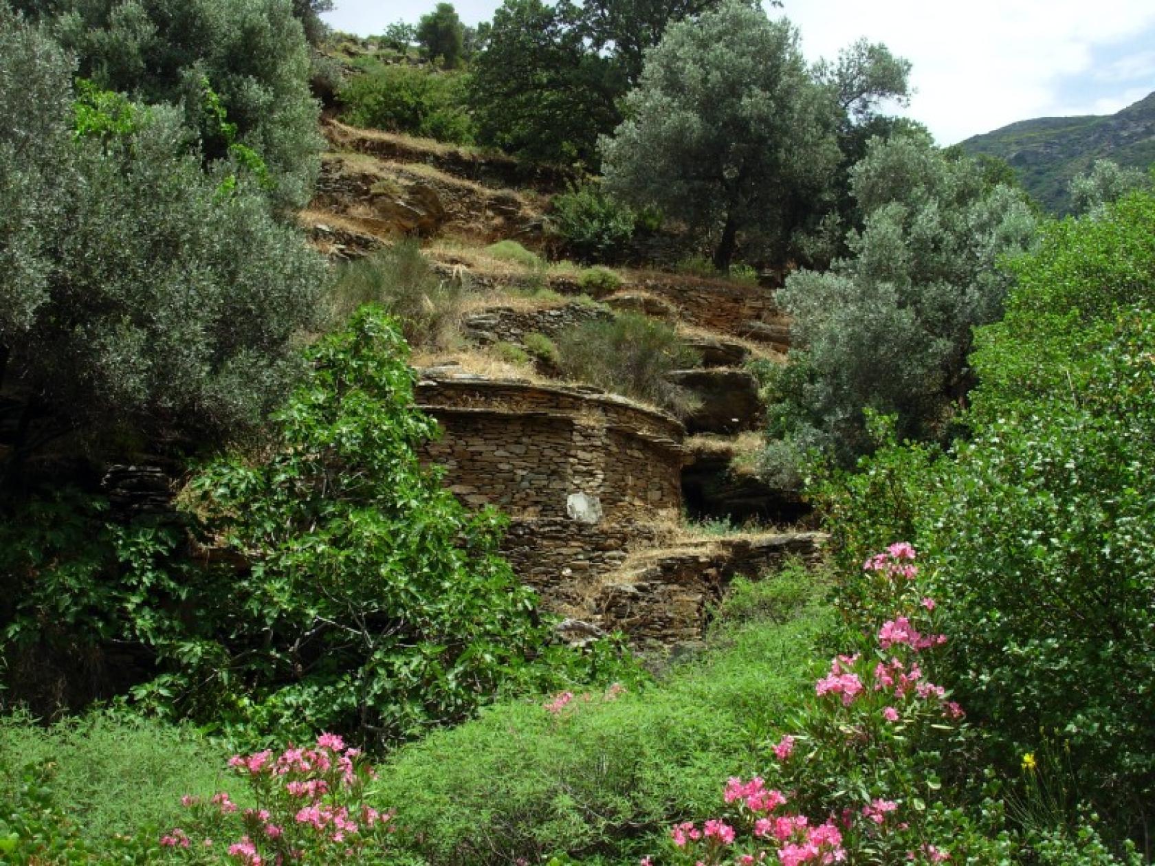
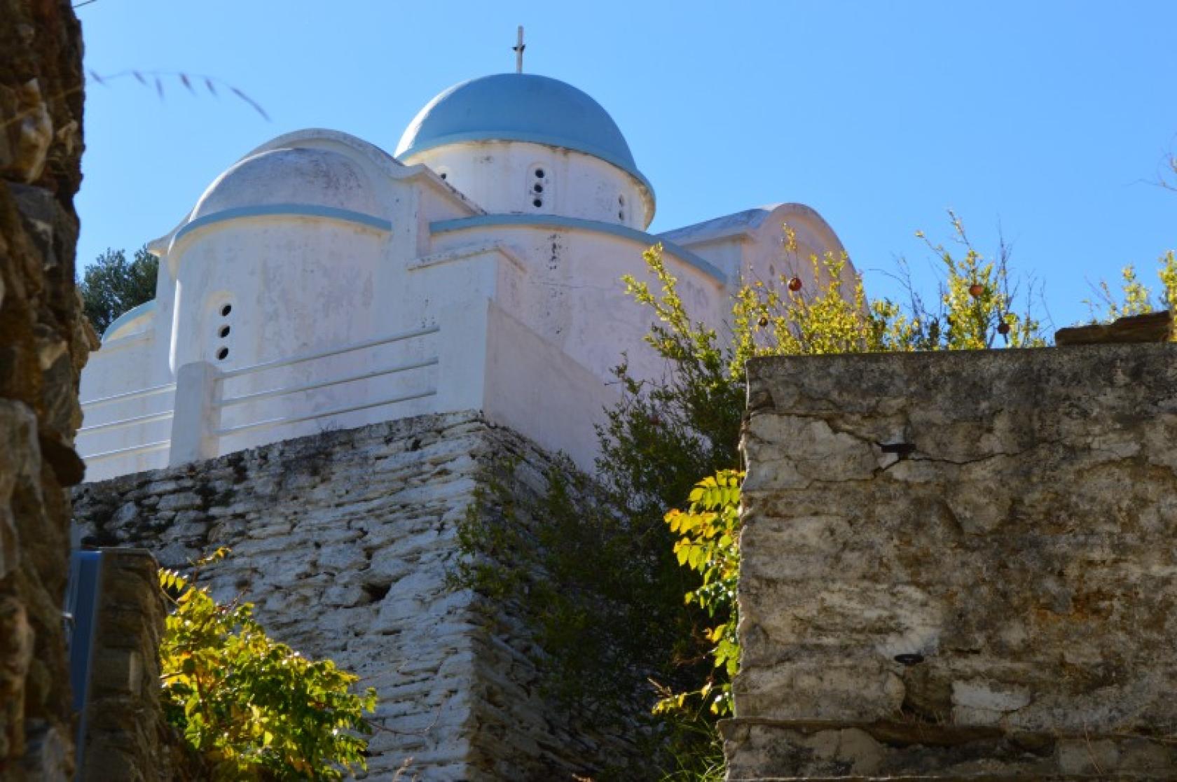
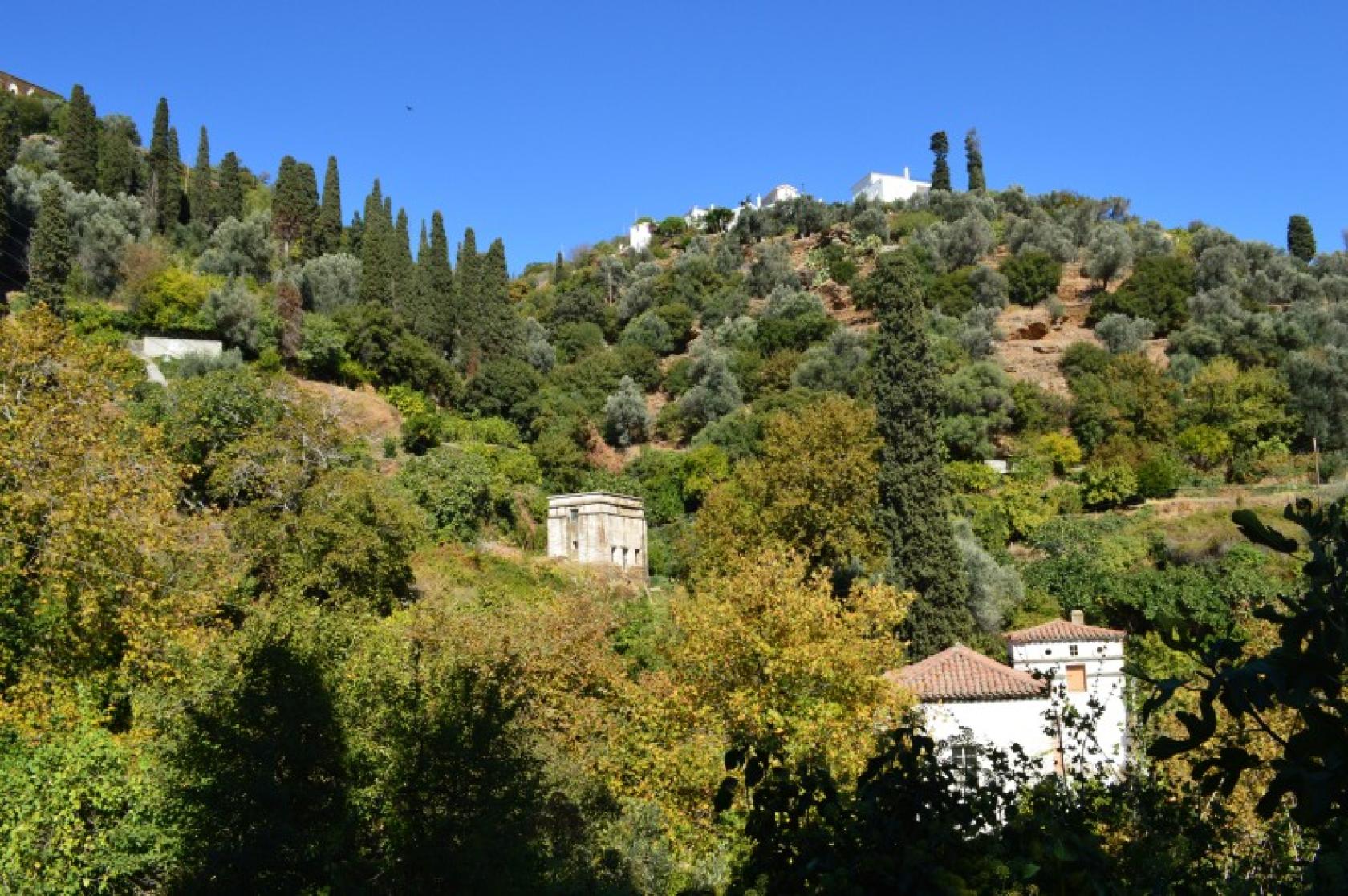
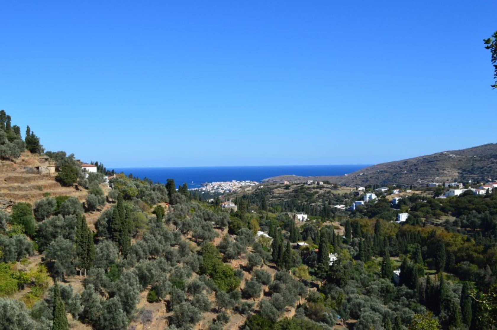
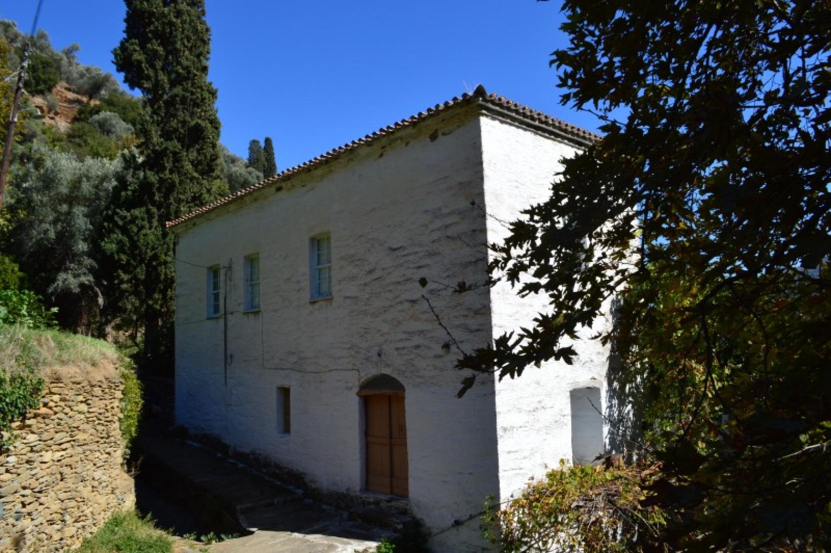
A beautiful route to explore the green picturesque villages around Chora ending at the Castle-Monastery of Pahachrantou at the second highest mountain range of Andros, Gerakonas. Well-crafted stone paved path, impressive dry stone walls and buildings, bridges, numerous springs and churches, the arched bridge of Stoicheiomeni (the Haunted) and the Monastery are some of the attractions.
DISTANCE - DURATION
11.5 km / 4½ hours
MAX ALTIDUDE DIFFERENCE - DIFFICULTY LEVEL
min 3 m/ max 496 m diff/493 m
Moderate
ASCENT - DESCENT
Ascent: 882 m
Descent: 442 m
STARTING - ENDING
Starting point: START point on the map
Ending point: END point on the map
TRANSPORT
Transfer to the starting point: By Car or by Taxi
Taxi market from Chora: +30 2282022171
DRINKABLE WATER
Water at every settlement from Chora to Menites and at the Monastery. Food at Chora, Menites and the Monastery
ROUTE CONDITION
Open & with full marking
See the latest cleanups at www.androsroutes.gr
ACCOMMODATION & FOOD
Accommodation near: Chora, Lamira, Menites
Restaurants near: Chora, Menites

Texts - Photos - Maps: Andros Routes